
 Image 1 of 4
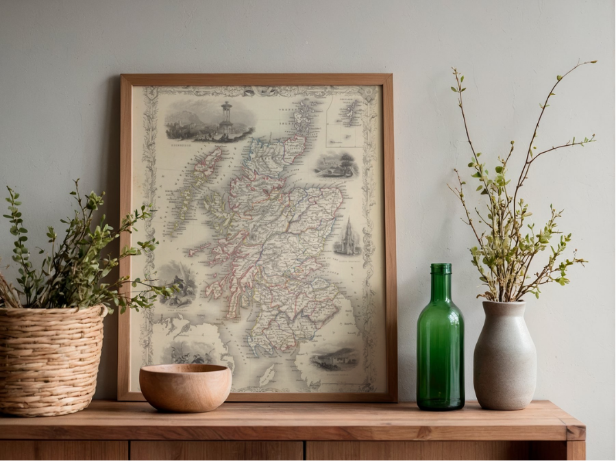 Image 2 of 4
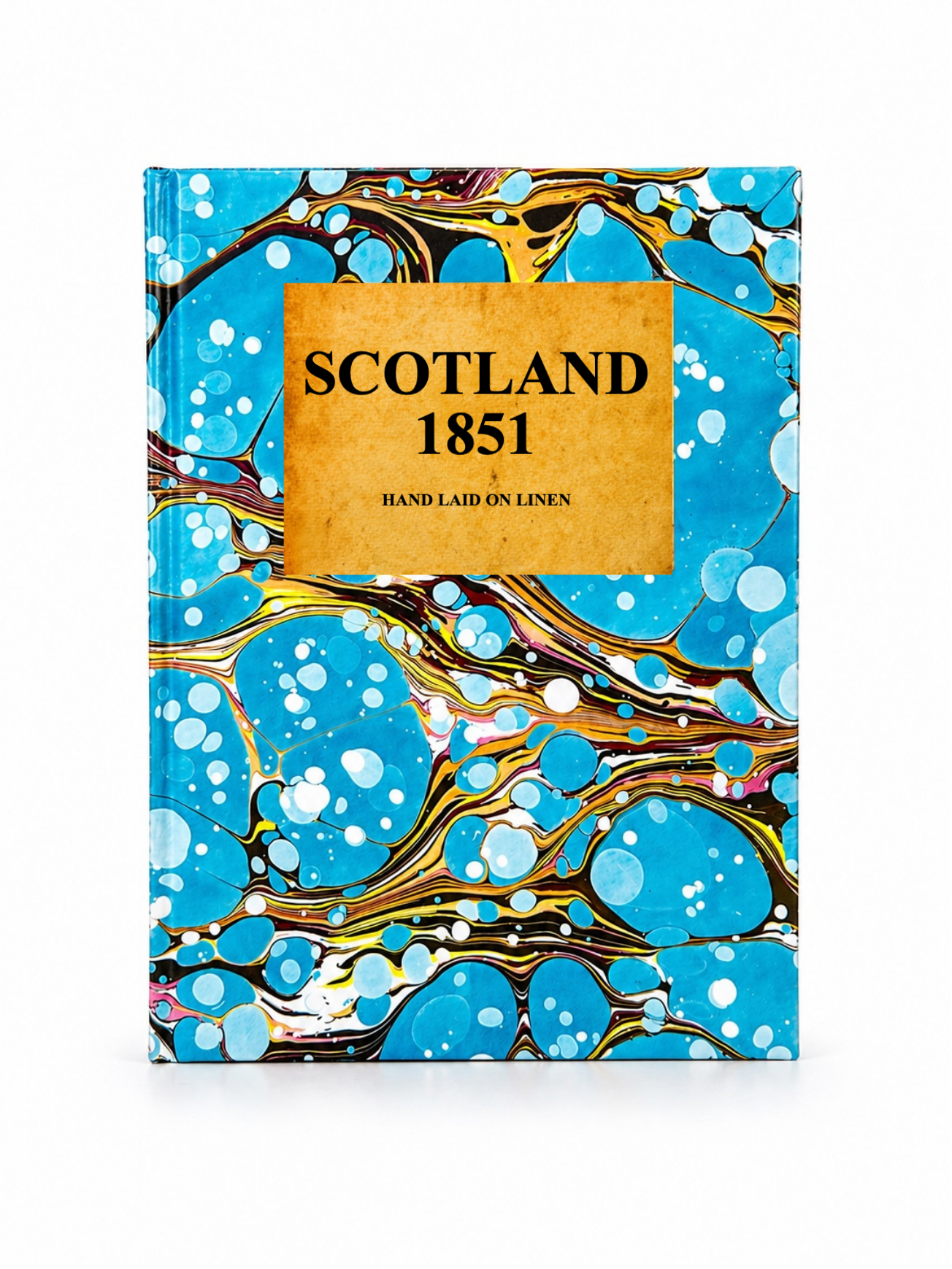 Image 3 of 4
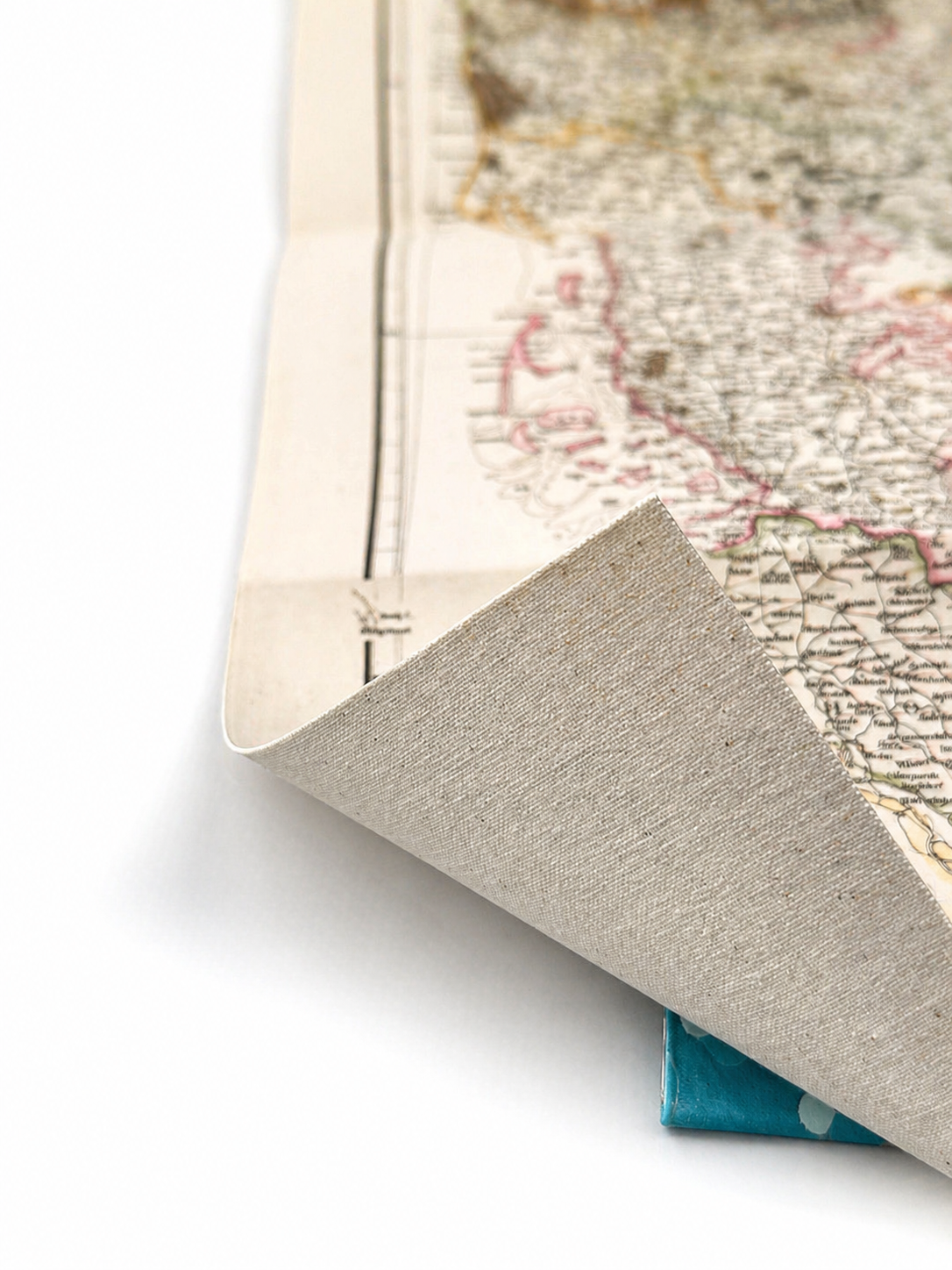 Image 4 of 4
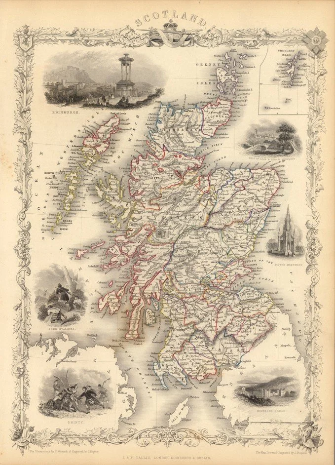
A highly detailed and decorative map of Scotland published in 1851 by John Tallis, drawn by John Rapkin during the height of the early Victorian period.
The map presents Scotland in striking detail, with counties, towns, rivers and mountain ranges clearly laid out across the Highlands and Lowlands. The contrast between the densely populated Lowlands and the vast, dramatic Highland landscapes is particularly striking, giving a strong sense of both settlement and wilderness.
Like other Tallis maps from this series, it is framed with ornate engraved vignettes of important Scottish cities, castles and landmarks, adding strong visual character and a sense of national identity to the piece.
Each map is hand-laid on linen, enhancing durability and preserving colour over time. The linen backing also allows you to iron the reverse to remove folds and creases.
Supplied folded in a labelled, decorative package as shown in images. (Design of packaging may vary)
Available in one size
48 × 38cm
A highly detailed and decorative map of Scotland published in 1851 by John Tallis, drawn by John Rapkin during the height of the early Victorian period.
The map presents Scotland in striking detail, with counties, towns, rivers and mountain ranges clearly laid out across the Highlands and Lowlands. The contrast between the densely populated Lowlands and the vast, dramatic Highland landscapes is particularly striking, giving a strong sense of both settlement and wilderness.
Like other Tallis maps from this series, it is framed with ornate engraved vignettes of important Scottish cities, castles and landmarks, adding strong visual character and a sense of national identity to the piece.
Each map is hand-laid on linen, enhancing durability and preserving colour over time. The linen backing also allows you to iron the reverse to remove folds and creases.
Supplied folded in a labelled, decorative package as shown in images. (Design of packaging may vary)
Available in one size
48 × 38cm