
 Image 1 of 5
 Image 2 of 5
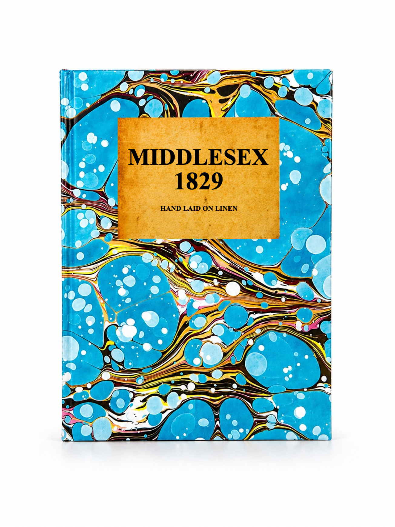 Image 3 of 5
 Image 4 of 5
Image 5 of 5
Image 4 of 5
Image 5 of 5
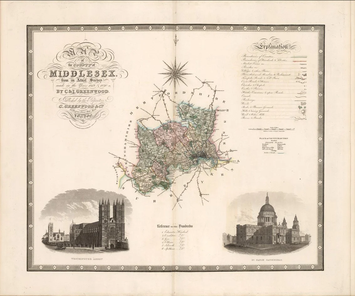
A finely detailed early 19th century map of Middlesex published in 1829 by Christopher and John Greenwood, showing the county on the outskirts of rapidly expanding London.
This map captures Middlesex at a moment when it was still a mix of open countryside, villages and emerging suburban development. Roads, estates and parish boundaries are clearly marked, with the outskirts of London beginning to press outward into what was still largely rural land.
Each map is hand-laid on linen, enhancing durability and preserving colour over time. The linen backing also allows you to iron the reverse to remove folds and creases.
Supplied folded in a labelled, decorative package as shown in images. (Design of packaging may vary)
Available in one size
38×48cm