
 Image 1 of 4
 Image 2 of 4
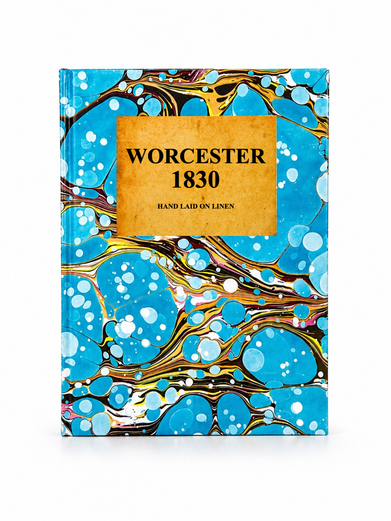 Image 3 of 4
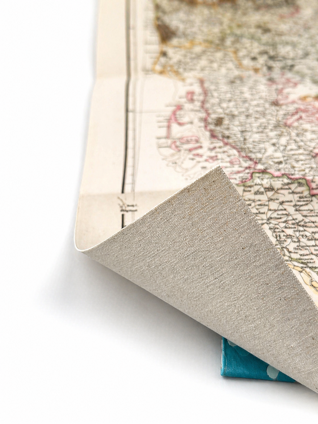 Image 4 of 4
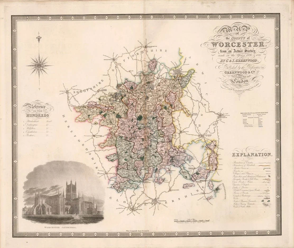
This map of Worcester was published in 1830 by Christopher and John Greenwood.
It shows the county of Worcestershire in detailed detail, including towns, villages, roads, rivers, parish boundaries and estates. Worcester city is clearly laid out along the River Severn, with surrounding settlements and the rural network shown before major Victorian industrial expansion. The map presents a full administrative and topographical view of the county as it existed in the early 19th century, capturing both its agricultural landscape and its key transport routes at the time.
Each map is hand-laid on linen, enhancing durability and preserving colour over time. The linen backing also allows you to iron the reverse to remove folds and creases.
Supplied folded in a labelled, decorative package as shown in images. (Design of packaging may vary)
Available in one size
38 × 46cm