
 Image 1 of 4
 Image 2 of 4
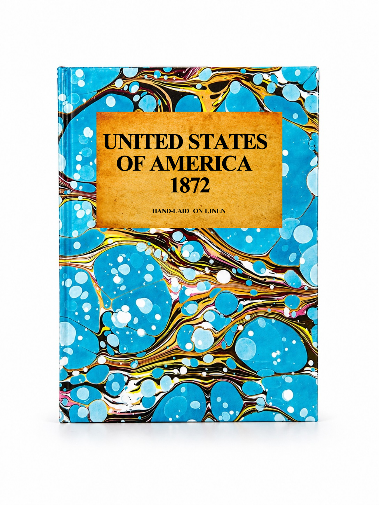 Image 3 of 4
 Image 4 of 4
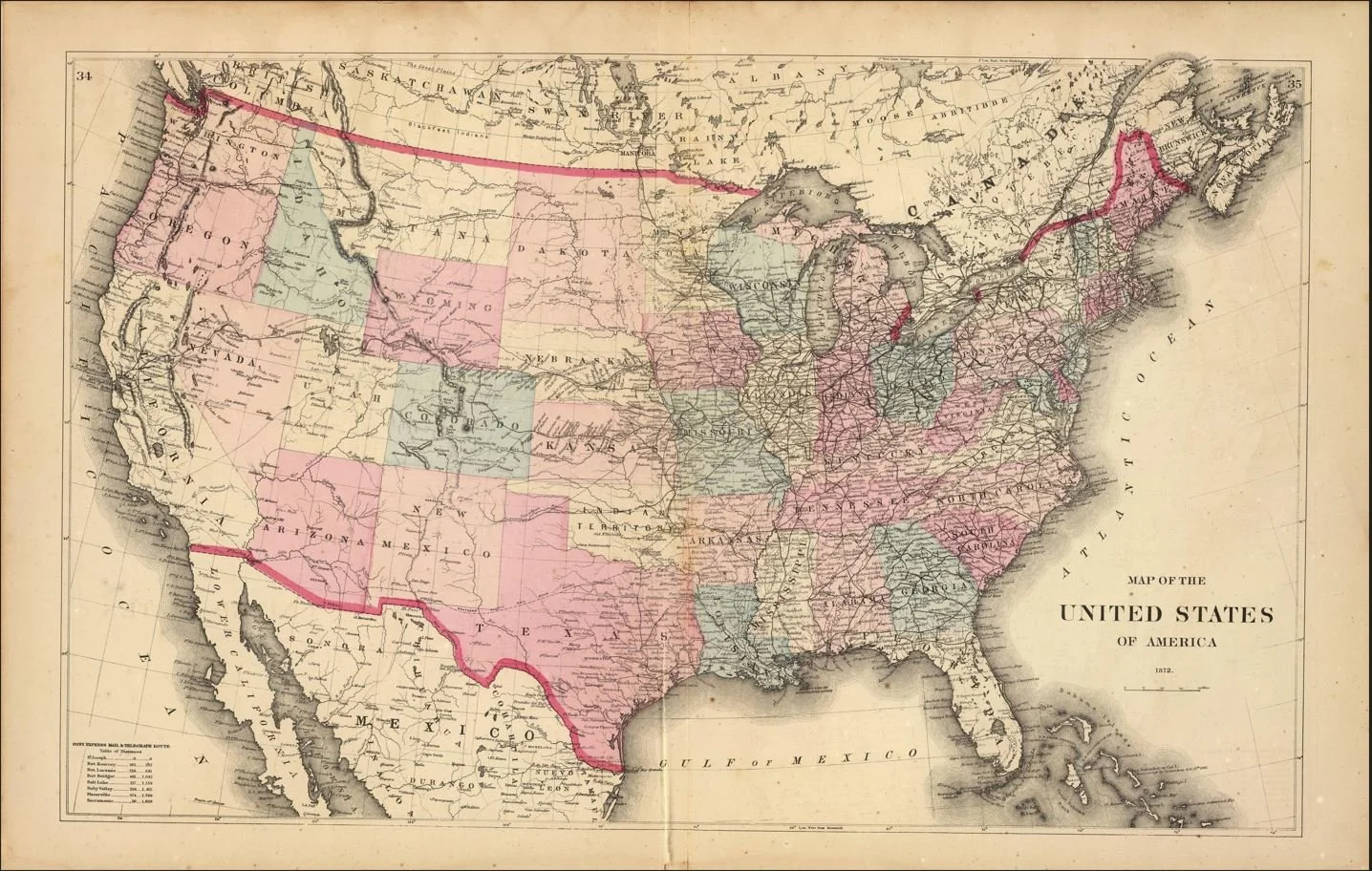
An 1872 map of the United States published by G.W. & C.B. Colton, one of America’s leading 19th-century mapmaking firms. Created just seven years after the Civil War, it captures a rapidly expanding nation, with state and territorial boundaries, major cities, rivers, mountain ranges, roads and an extensive network of railroads stretching across the country.
Particularly fascinating is the West, where Dakota Territory remains undivided and Oklahoma is still shown largely as Indian Territory. The map also highlights the newly established transcontinental railway connections, offering a fascinating snapshot of westward expansion.
Each map is hand-laid on linen, enhancing durability and preserving colour over time. The linen backing also allows you to iron the reverse to remove folds and creases.
Supplied folded in a labelled, decorative package as shown in images. (Design of packaging may vary)
Available in one size
30 × 48cm