
 Image 1 of 4
 Image 2 of 4
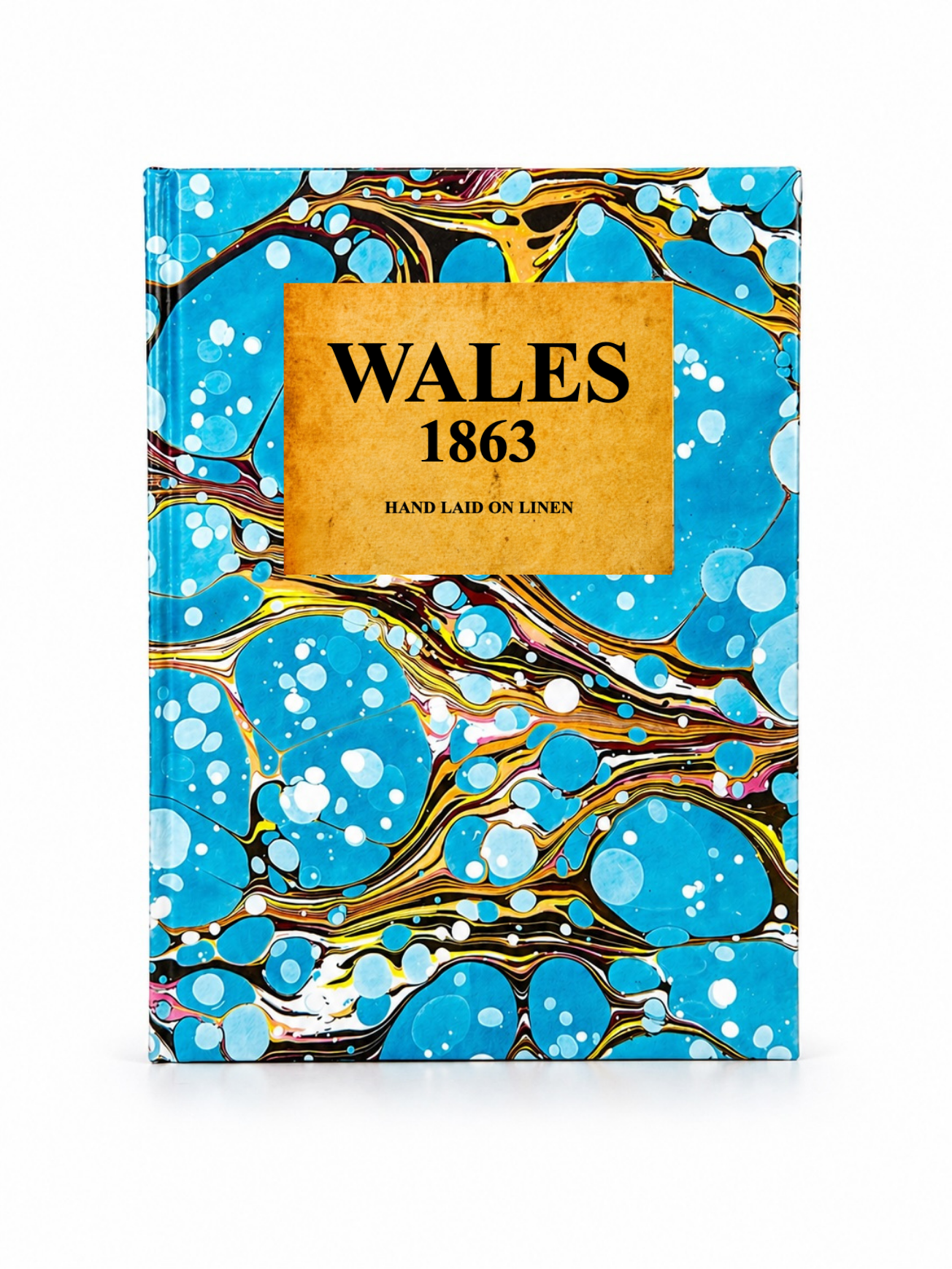 Image 3 of 4
 Image 4 of 4
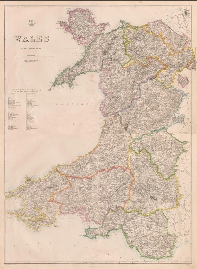
This map of Wales was published around 1863 by Edward Weller in London as part of the Dispatch Atlas / Cassell’s atlas series.
It is a finely engraved, hand-coloured map showing Wales divided into its historic counties, with towns, railways, roads, rivers and relief clearly marked. It reflects the rapid Victorian expansion of transport and industry, especially the developing railway network across South and North Wales.
Each map is hand-laid on linen, enhancing durability and preserving colour over time. The linen backing also allows you to iron the reverse to remove folds and creases.
Supplied folded in a labelled, decorative package as shown in images. (Design of packaging may vary)
Available in one size
48 × 38cm