
 Image 1 of 4
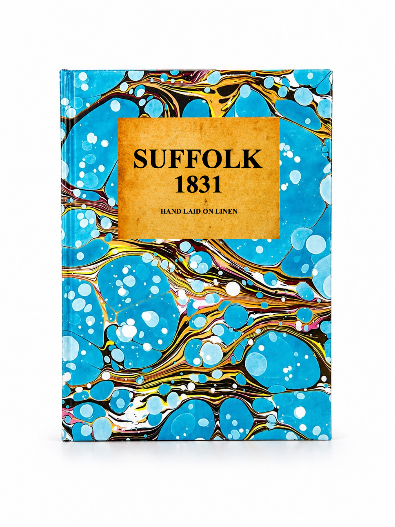 Image 2 of 4
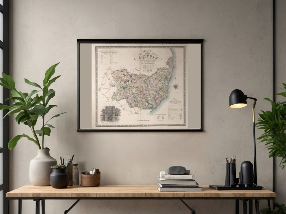 Image 3 of 4
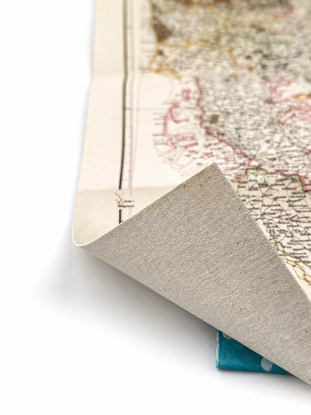 Image 4 of 4
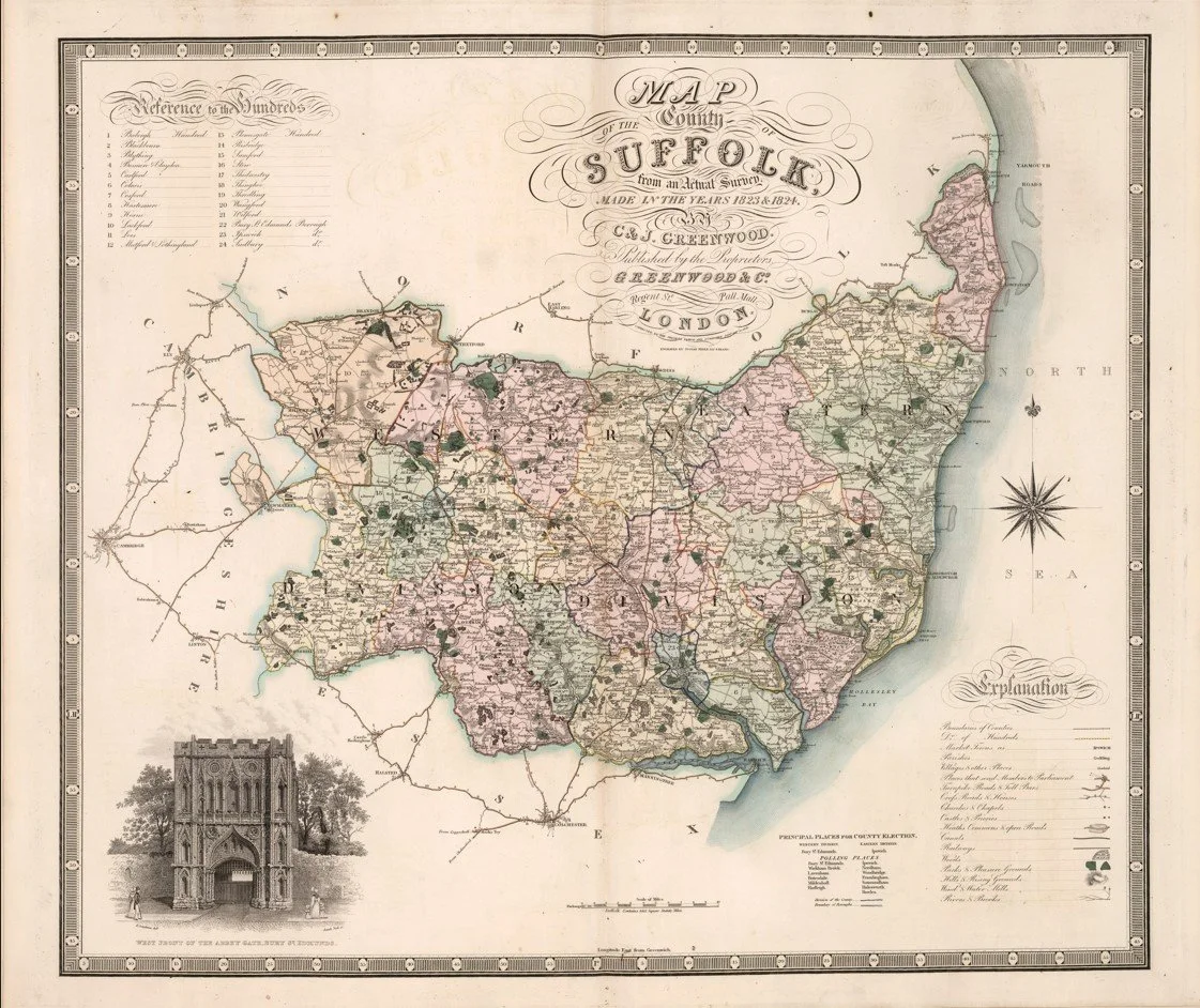
This detailed map of Suffolk was published in 1831 by Christopher and John Greenwood as part of their celebrated Atlas of the Counties of England. Based on extensive original surveys, it offers an exceptionally accurate depiction of the county before the railway age.
The map shows Suffolk’s towns, villages, roads, parish boundaries, rivers and coastal features in remarkable detail, with centres such as Ipswich and Bury St Edmunds clearly marked. Decorative yet highly functional, Greenwood’s county maps are regarded among the finest English cartographic works of the early nineteenth century, offering a fascinating glimpse into the county’s landscape and administrative geography at the start of the Victorian era.
Each map is hand-laid on linen, enhancing durability and preserving colour over time. The linen backing also allows you to iron the reverse to remove folds and creases.
Supplied folded in a labelled, decorative package as shown in images. (Design of packaging may vary)
Available in one size
36 × 44cm