
 Image 1 of 4
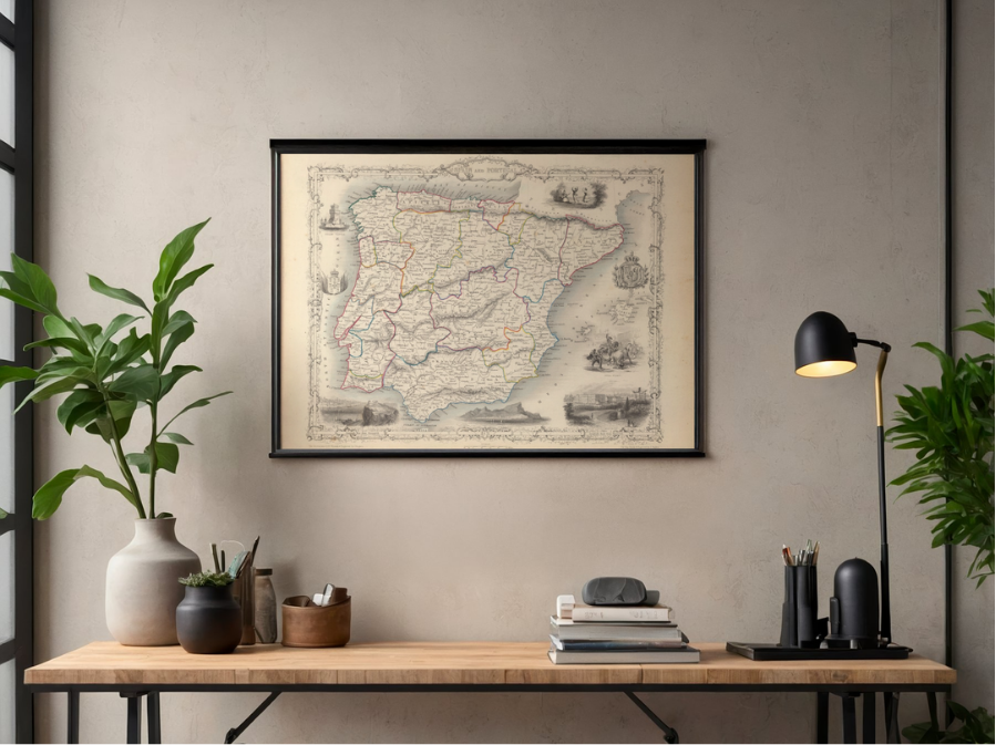 Image 2 of 4
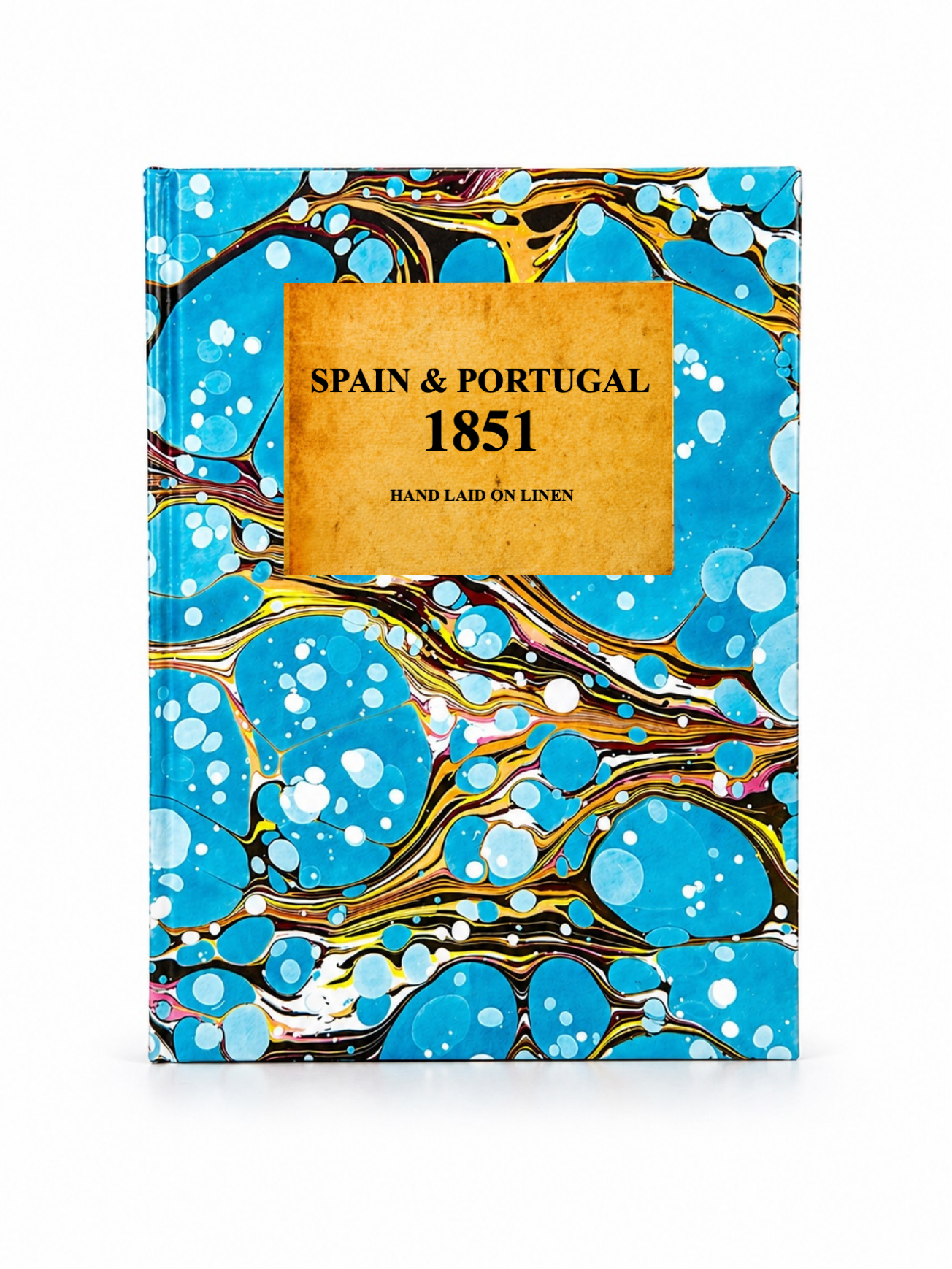 Image 3 of 4
 Image 4 of 4
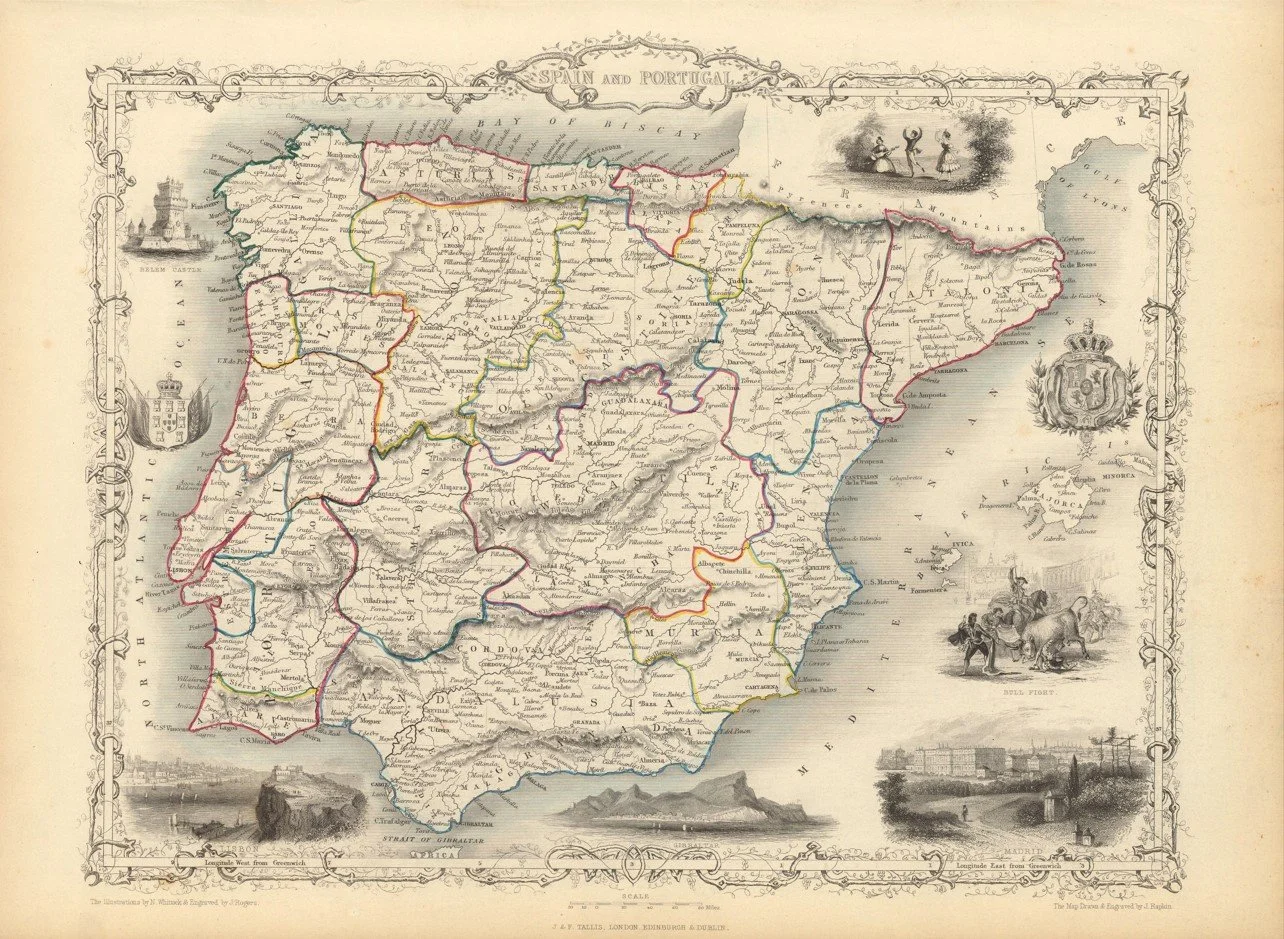
A highly decorative mid 19th century map of Spain and Portugal published in 1851 by John Tallis, issued during the period of the Great Exhibition era in London.
The map shows the Iberian Peninsula in rich detail, with Spain and Portugal clearly divided by historical regions, major cities, rivers and mountain ranges. The Pyrenees form a dramatic natural boundary to the north, while the interior is filled with towns, road networks and regional divisions reflecting the structure of the time. Like other Tallis maps, it is framed with ornate engraved vignettes of important cities and landmarks, adding a strong decorative element and giving the map a distinctive illustrated border.
Each map is hand-laid on linen, enhancing durability and preserving colour over time. The linen backing also allows you to iron the reverse to remove folds and creases.
Supplied folded in a labelled, decorative package as shown in images. (Design of packaging may vary)
Available in one size
35 × 48cm