
 Image 1 of 4
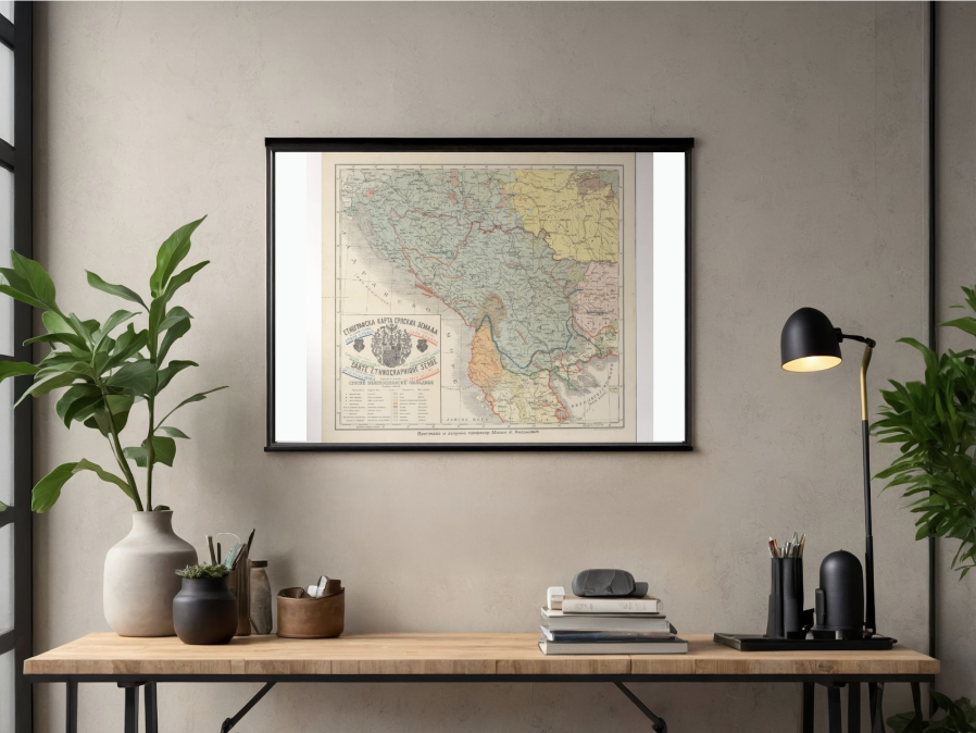 Image 2 of 4
 Image 3 of 4
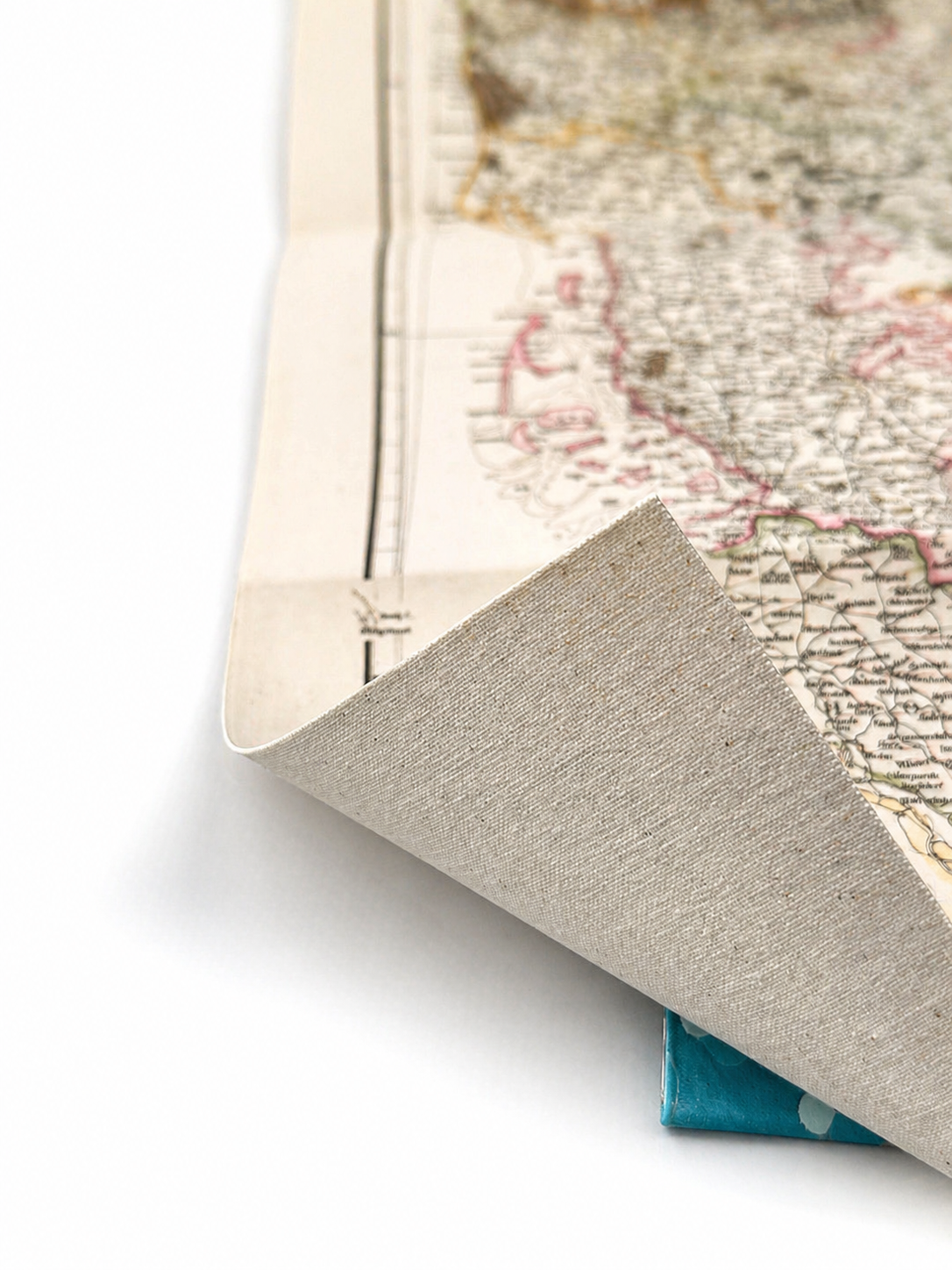 Image 4 of 4
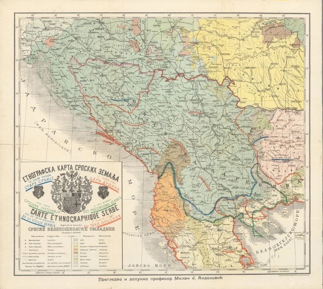
A detailed early 20th century map of the Serbian lands published in 1903, reviewed and updated by Professor Milan J. Andonović. This map presents the territories of Serbia and surrounding Balkan regions during a period of growing national identity and political change in South Eastern Europe.
The map shows Serbia along with neighbouring regions, with towns, rivers and mountainous terrain clearly marked. The Balkan landscape is strongly defined, with the Danube and Morava river systems standing out as key geographic features linking inland regions to wider European trade routes.
Each map is hand-laid on linen, enhancing durability and preserving colour over time. The linen backing also allows you to iron the reverse to remove folds and creases.
Supplied folded in a labelled, decorative package as shown in images. (Design of packaging may vary)
Available in one size
38 × 44cm