
 Image 1 of 4
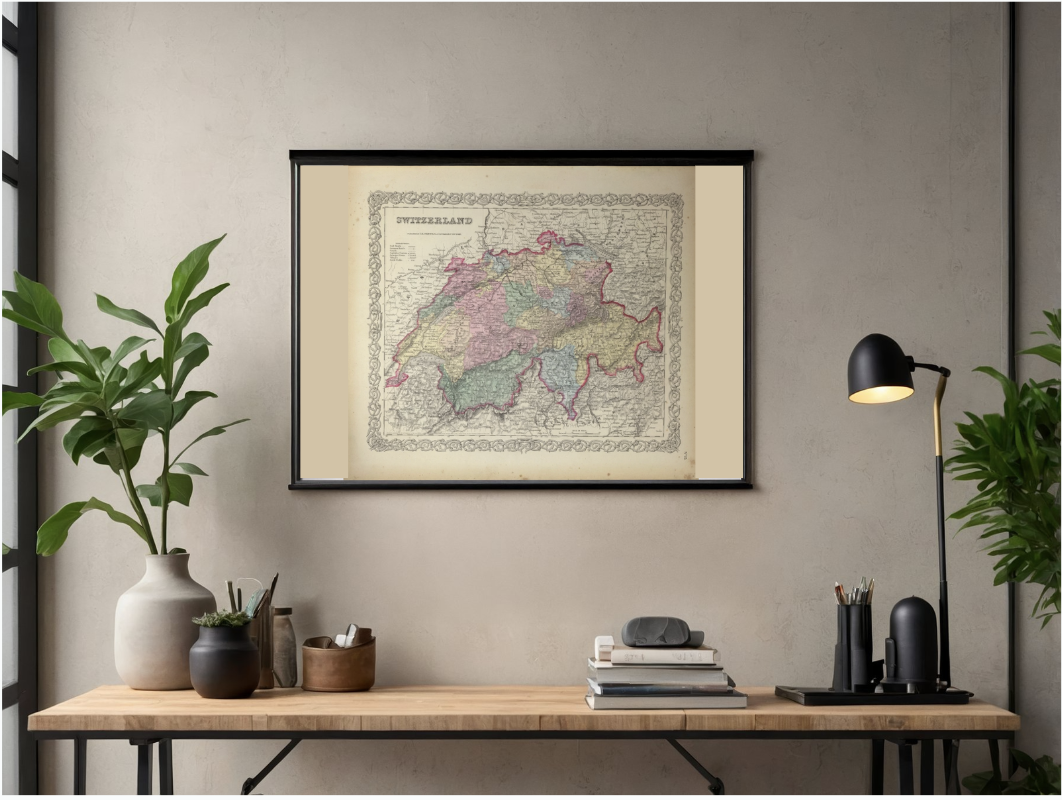 Image 2 of 4
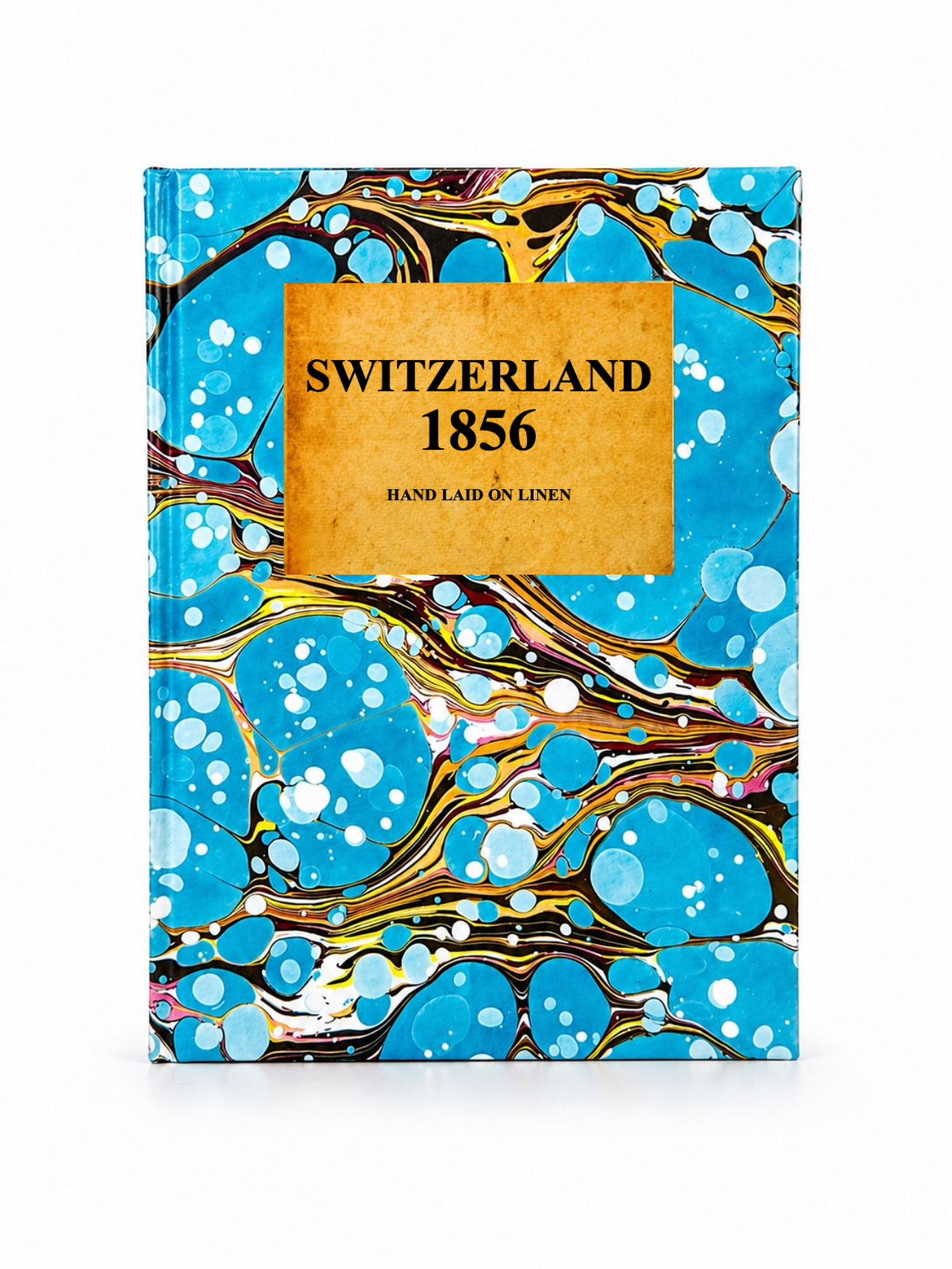 Image 3 of 4
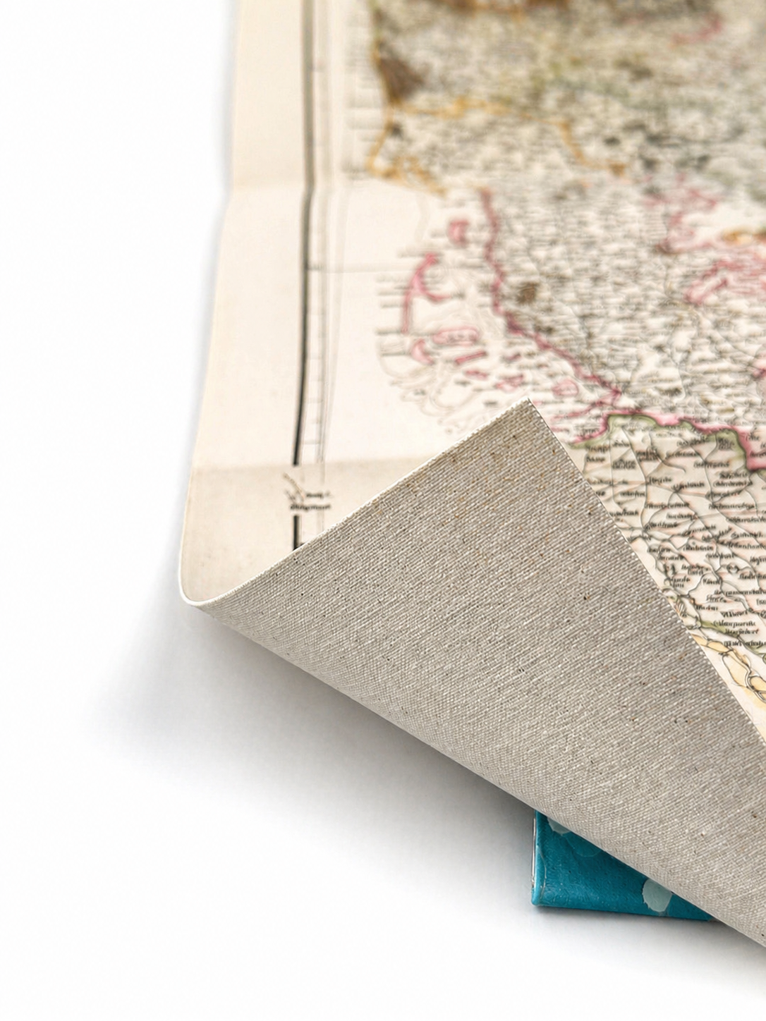 Image 4 of 4
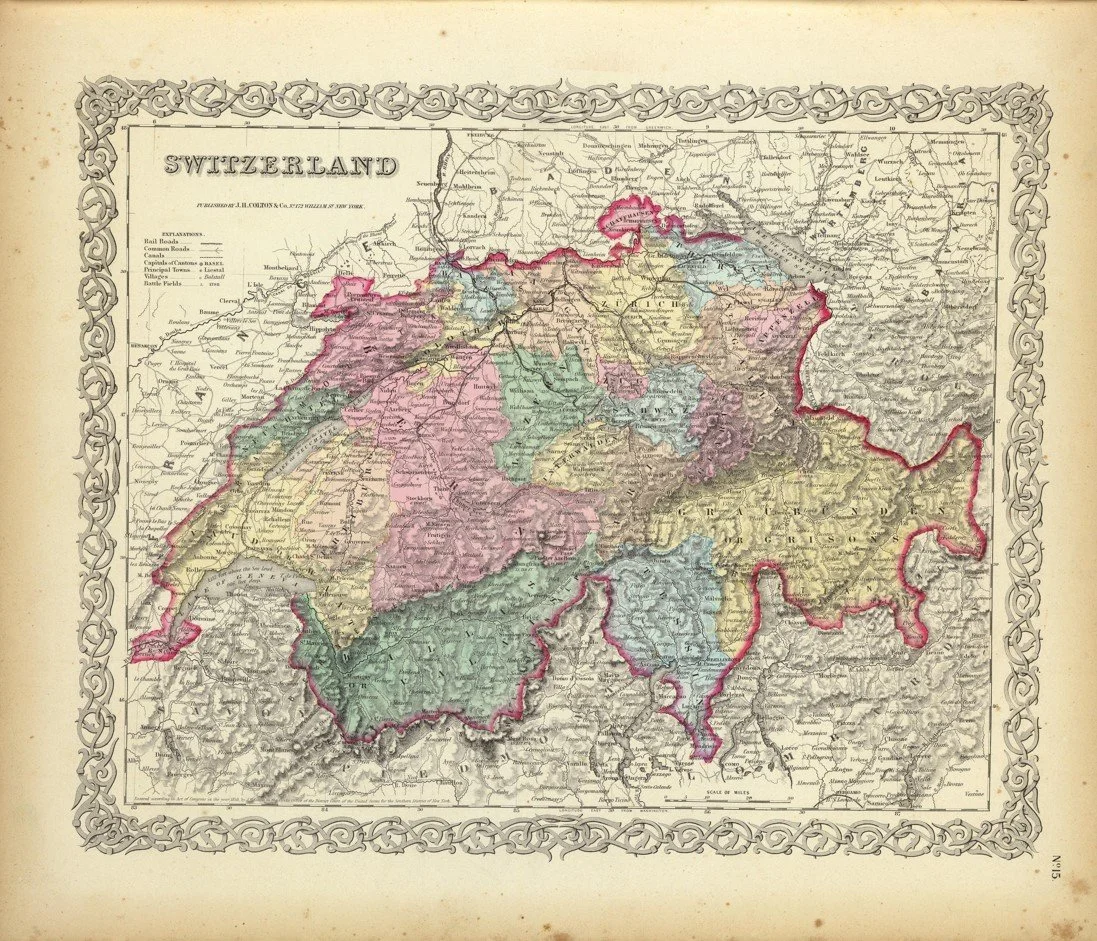
This map of Switzerland was published in 1856 by the noted American cartographer Joseph Hutchins Colton in New York City, as part of his widely admired mid-nineteenth-century atlas productions. Colton’s maps were celebrated for their clarity, accuracy, and distinctive decorative style, helping establish his firm as one of America’s leading map publishers.
The map depicts Switzerland in fine detail, showing its cantonal divisions, major cities, mountain ranges, rivers and key transport routes of the period. Produced during a time of growing political stability following the formation of the modern Swiss federal state in 1848, it offers an engaging snapshot of the country’s geography and administrative structure in the mid-Victorian era. The decorative border, typical of Colton’s engraving style, adds both elegance and visual appeal to this historical representation of the Alpine nation.
Each map is hand-laid on linen, enhancing durability and preserving colour over time. The linen backing also allows you to iron the reverse to remove folds and creases.
Supplied folded in a labelled, decorative package as shown in images. (Design of packaging may vary)
Available in one size
38 × 46cm