
 Image 1 of 4
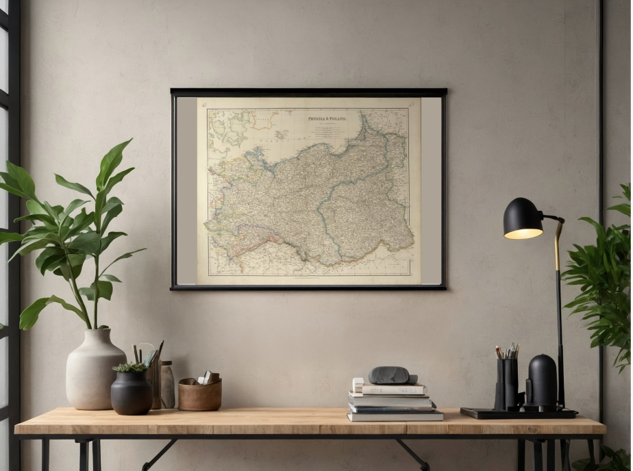 Image 2 of 4
 Image 3 of 4
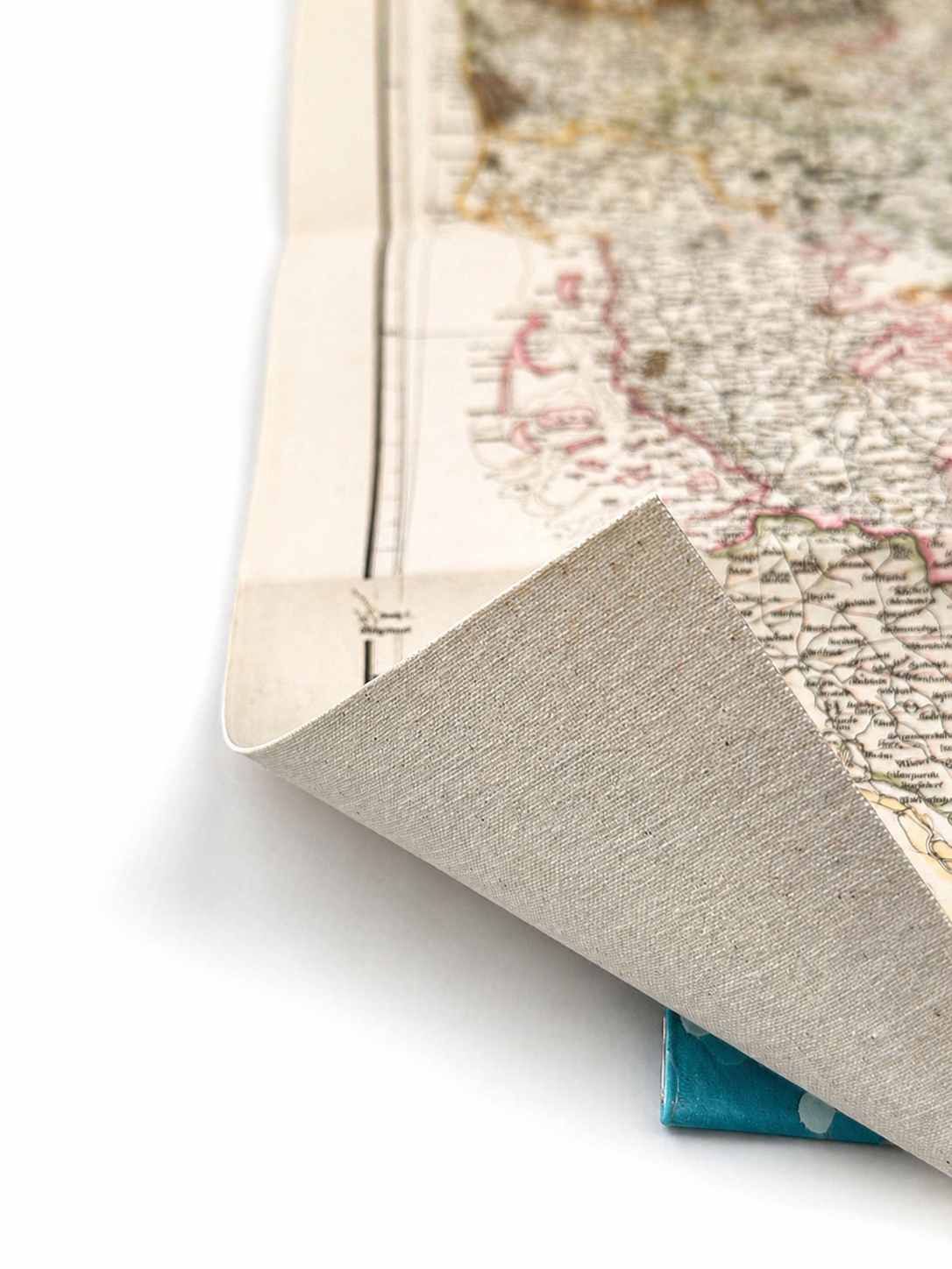 Image 4 of 4
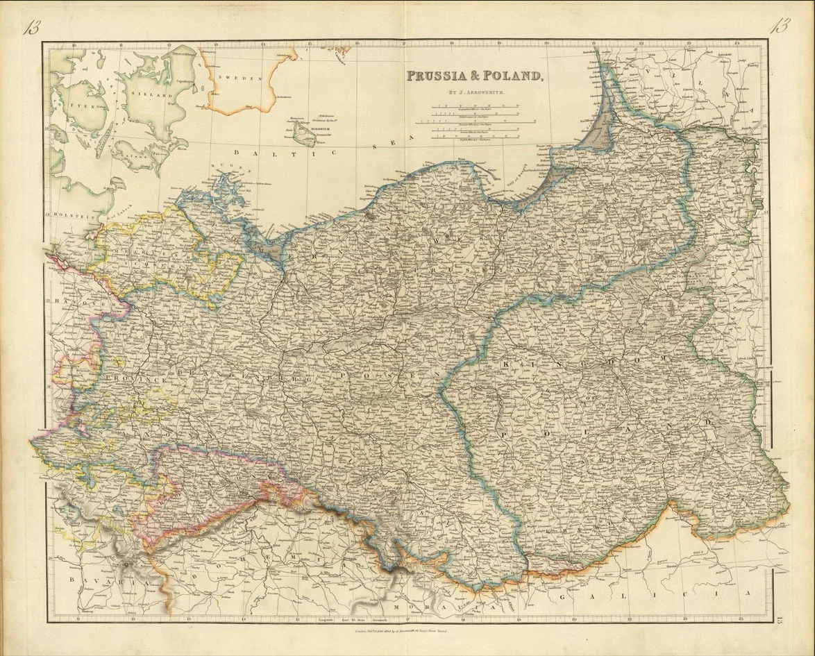
A detailed early 19th century map of Prussia and Poland published in 1834 by Aaron Arrowsmith, showing Central Europe during a period of shifting political boundaries and post-Napoleonic restructuring.
The map covers a broad stretch of territory from the Baltic Sea down through Prussia and into historic Poland, with major cities, rivers and trade routes clearly marked. The Vistula River is a key feature running through the region, connecting inland areas to important Baltic ports.
Each map is hand-laid on linen, enhancing durability and preserving colour over time. The linen backing also allows you to iron the reverse to remove folds and creases.
Supplied folded in a labelled, decorative package as shown in images. (Design of packaging may vary)
Available in one size
38 × 48cm