
 Image 1 of 4
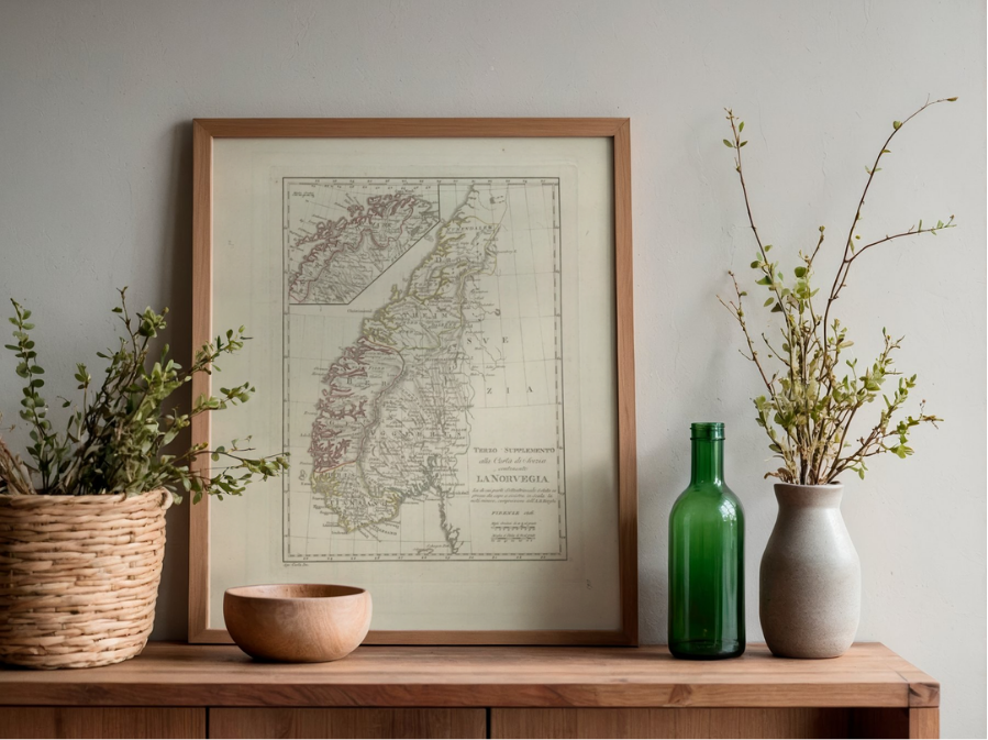 Image 2 of 4
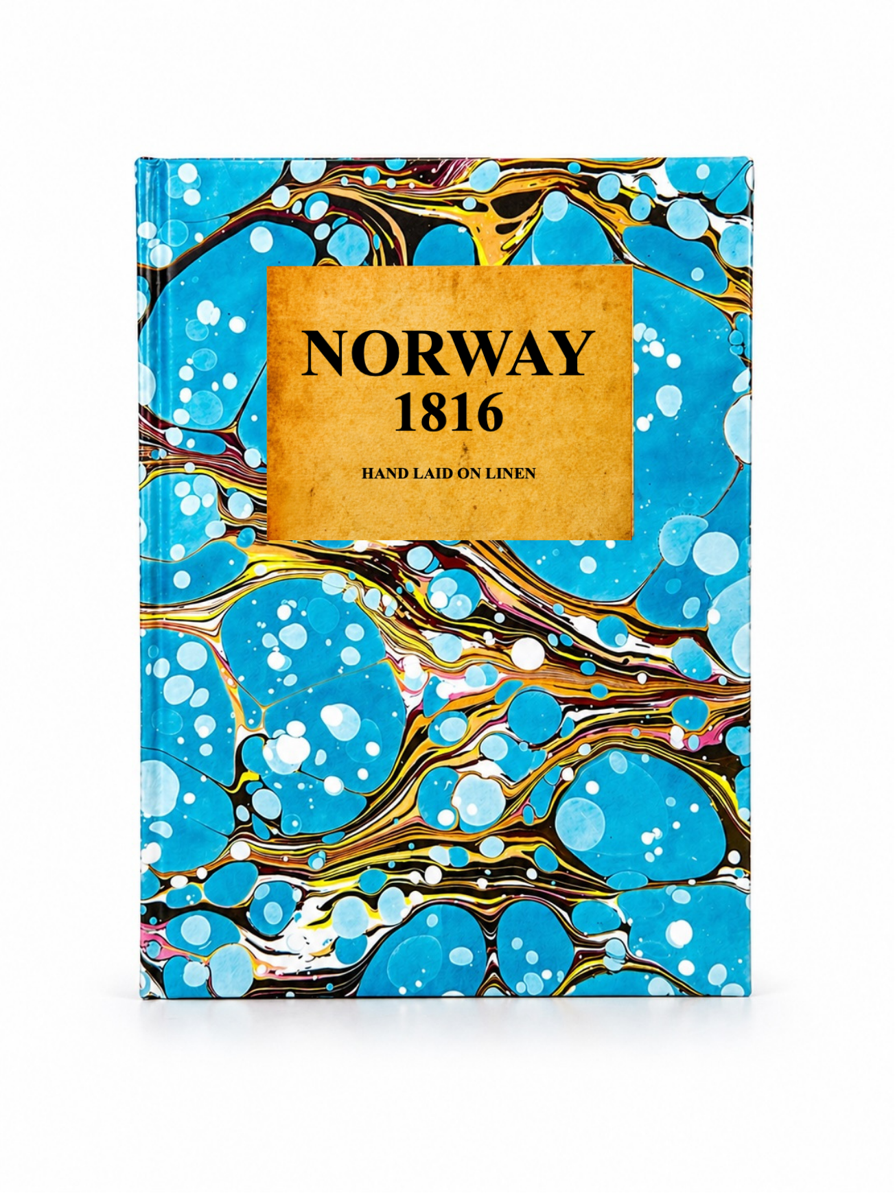 Image 3 of 4
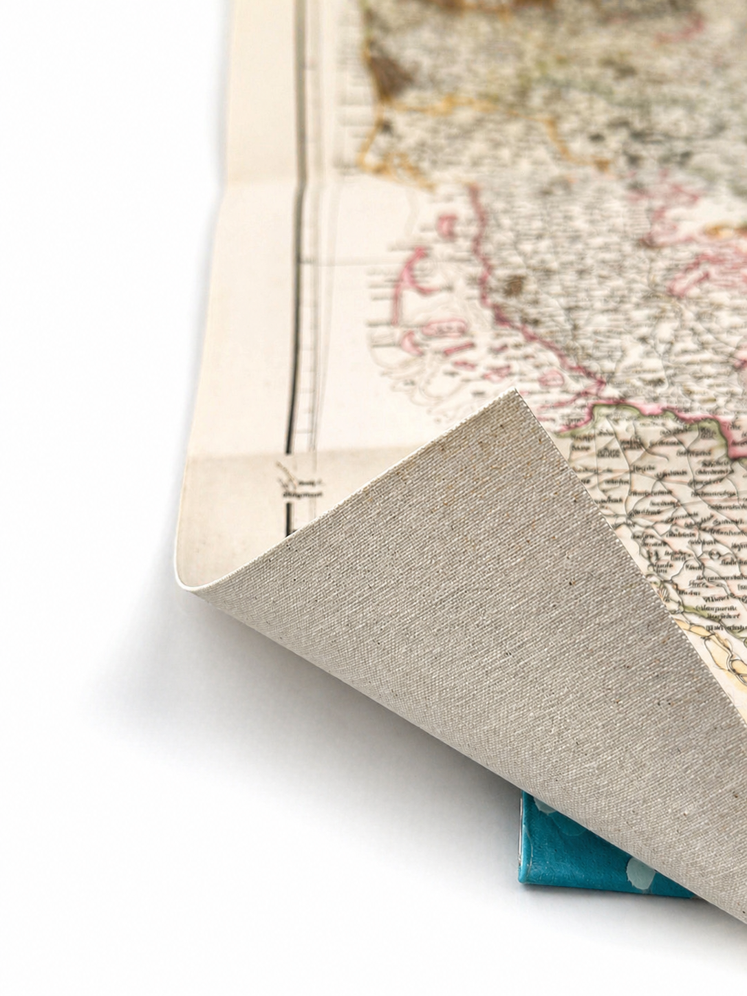 Image 4 of 4
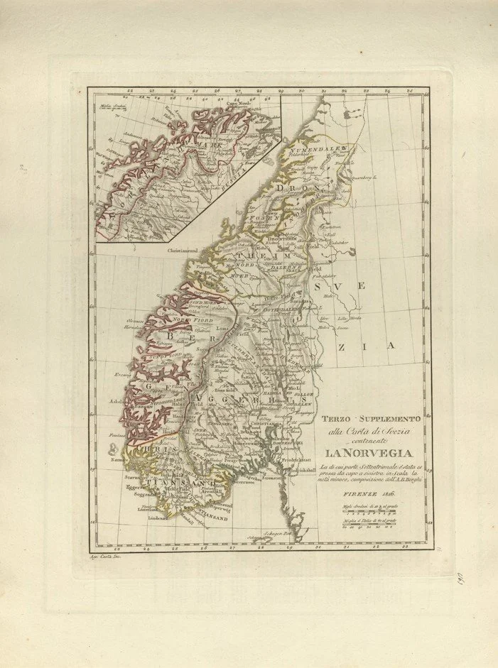
A rare early 19th century map of Norway published in Florence in 1816 as part of the Terzo Supplemento alla Carta di Frezia. This Italian edition presents Norway in a classical engraved style, reflecting European cartographic knowledge of Scandinavia in the post Napoleonic period.
The map shows the full stretch of Norway’s coastline with its distinctive fjords, islands and northern reaches, along with Sweden to the east and Denmark to the south for regional context. Inland areas are rendered more simply, while the dramatic coastal geography is the main focus, highlighting Norway’s mountainous terrain and fragmented shoreline.
Each map is hand-laid on linen, enhancing durability and preserving colour over time. The linen backing also allows you to iron the reverse to remove folds and creases.
Supplied folded in a labelled, decorative package as shown in images. (Design of packaging may vary)
Available in one size
48 × 35cm
A rare early 19th century map of Norway published in Florence in 1816 as part of the Terzo Supplemento alla Carta di Frezia. This Italian edition presents Norway in a classical engraved style, reflecting European cartographic knowledge of Scandinavia in the post Napoleonic period.
The map shows the full stretch of Norway’s coastline with its distinctive fjords, islands and northern reaches, along with Sweden to the east and Denmark to the south for regional context. Inland areas are rendered more simply, while the dramatic coastal geography is the main focus, highlighting Norway’s mountainous terrain and fragmented shoreline.
Each map is hand-laid on linen, enhancing durability and preserving colour over time. The linen backing also allows you to iron the reverse to remove folds and creases.
Supplied folded in a labelled, decorative package as shown in images. (Design of packaging may vary)
Available in one size
48 × 35cm