
 Image 1 of 4
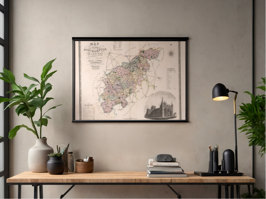 Image 2 of 4
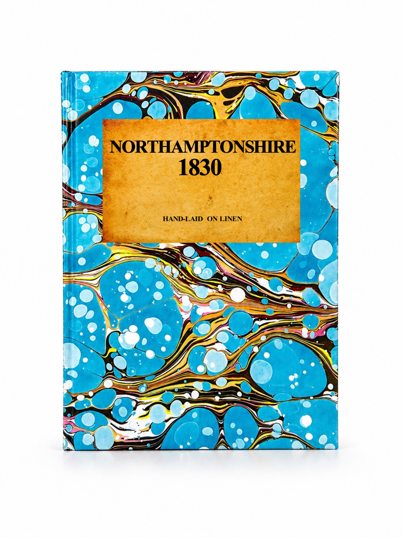 Image 3 of 4
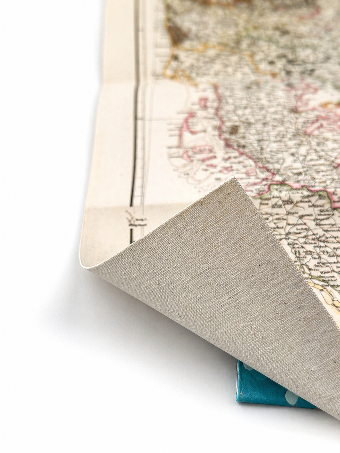 Image 4 of 4
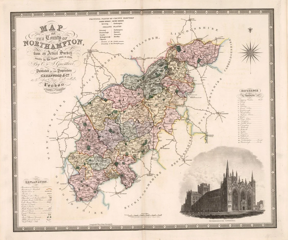
Published in 1830 by Christopher and John Greenwood, this map of Northamptonshire was based on a survey carried out in 1825–26 and engraved by J. & C. Walker. It shows the county in impressive detail, with towns, villages, churches, roads, rivers, canals, mills, parks and forests all marked.
The map also includes Peterborough Cathedral, a decorative compass rose and hand-coloured divisions of the county’s hundreds and parks. A great snapshot of Northamptonshire just before the arrival of the railway age.
Each map is hand-laid on linen, enhancing durability and preserving colour over time. The linen backing also allows you to iron the reverse to remove folds and creases.
Supplied folded in a labelled, decorative package as shown in images. (Design of packaging may vary)
Available in one size
36 × 44cm