
 Image 1 of 4
 Image 2 of 4
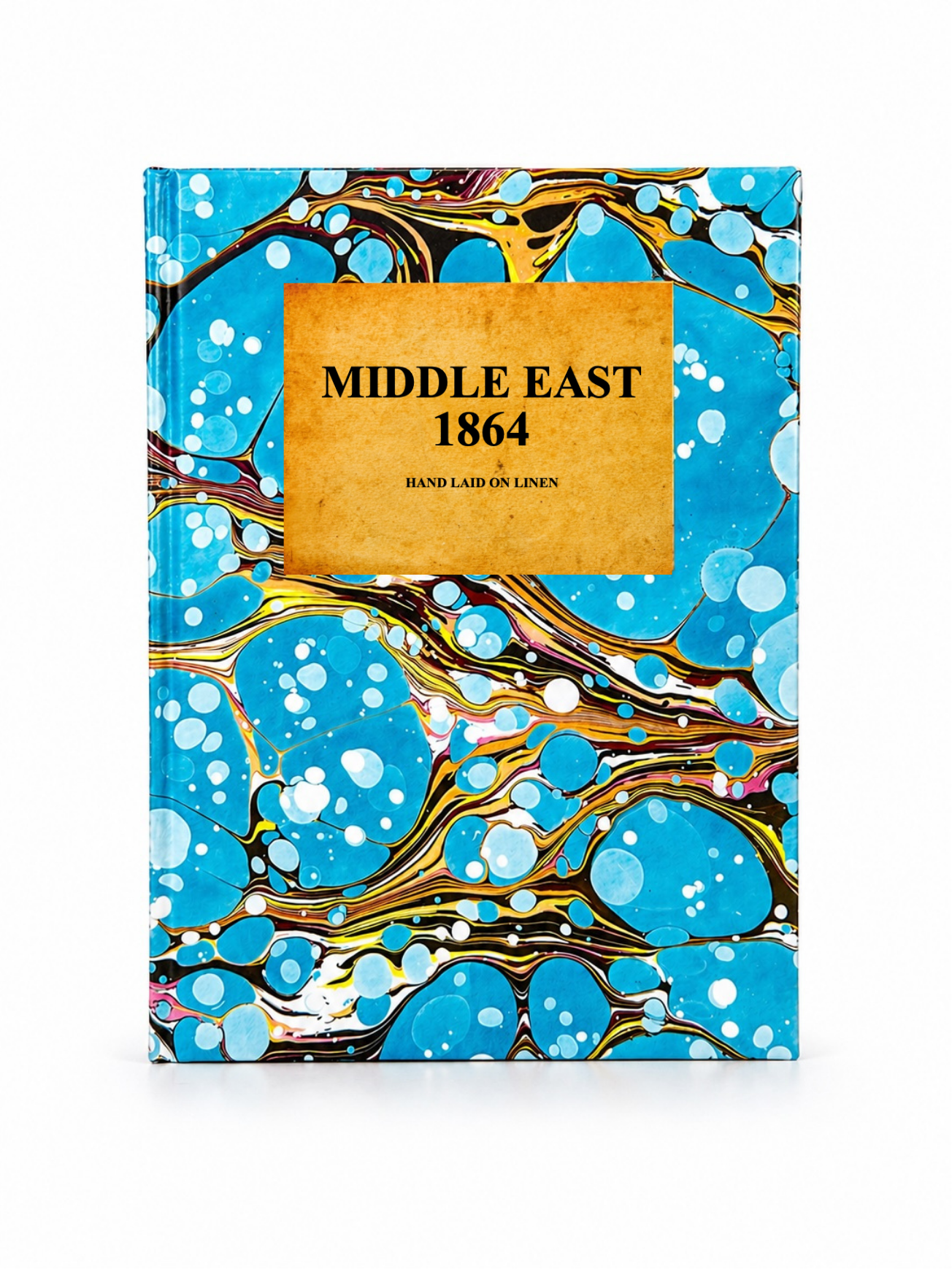 Image 3 of 4
 Image 4 of 4
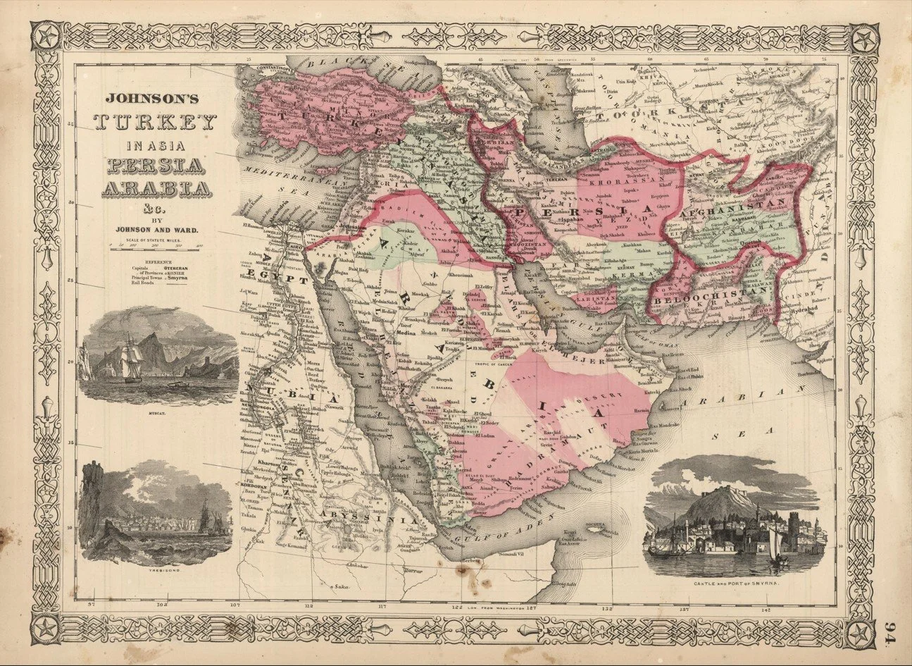
A detailed mid 19th century map of the Middle East published in 1864 by Johnson and Ward, showing a broad historical view of the region spanning from the eastern Mediterranean through Arabia and into Persia.
The map captures the area in a pre modern political landscape, with major cities, trade routes and coastal ports clearly marked alongside expansive desert interiors and mountain ranges. The Nile, Levantine coast and Arabian Peninsula are prominently featured, reflecting the region’s long standing importance in trade, religion and empire.
Each map is hand-laid on linen, enhancing durability and preserving colour over time. The linen backing also allows you to iron the reverse to remove folds and creases.
Supplied folded in a labelled, decorative package as shown in images. (Design of packaging may vary)
Available in two sizes
58 × 79cm (large)
38 × 48cm (small)