
 Image 1 of 4
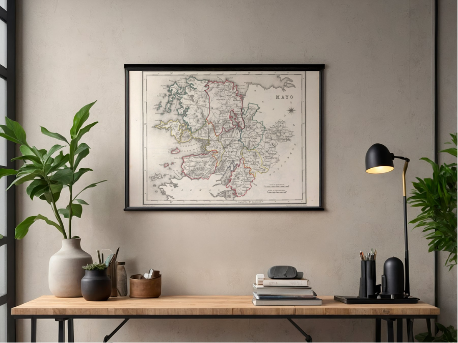 Image 2 of 4
 Image 3 of 4
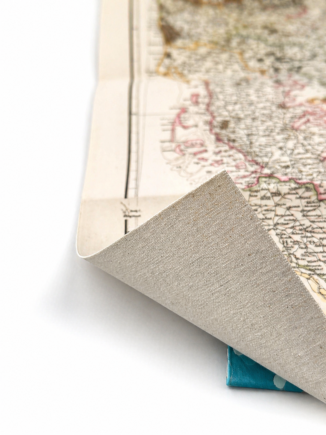 Image 4 of 4
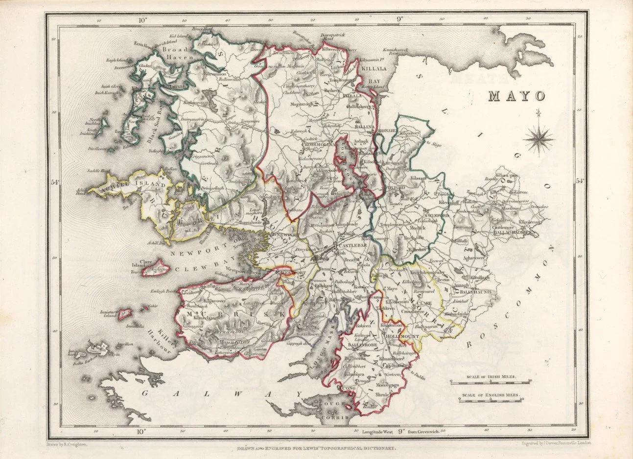
A detailed mid 19th century map of County Mayo published in 1846 by R. Creighton, showing the west of Ireland just before the Great Famine period.
The map captures the county in striking detail, with towns, parishes, roads and coastline clearly laid out, along with the rugged Atlantic landscape that defines the region. Loughs, bays and mountainous inland areas are carefully rendered, giving a strong sense of Mayo’s dramatic geography and rural character.
Produced during a period of major social and economic change in Ireland, it reflects a largely rural landscape with scattered settlements and limited urban development compared to later maps.
Each map is hand-laid on linen, enhancing durability and preserving colour over time. The linen backing also allows you to iron the reverse to remove folds and creases.
Supplied folded in a labelled, decorative package as shown in images. (Design of packaging may vary)
Available in one size
34 × 48cm