
 Image 1 of 4
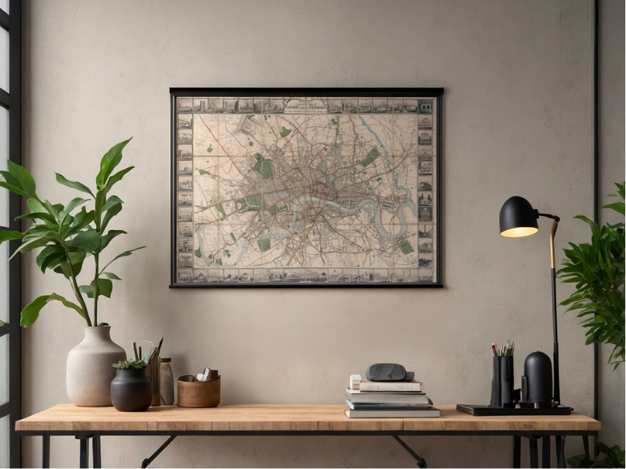 Image 2 of 4
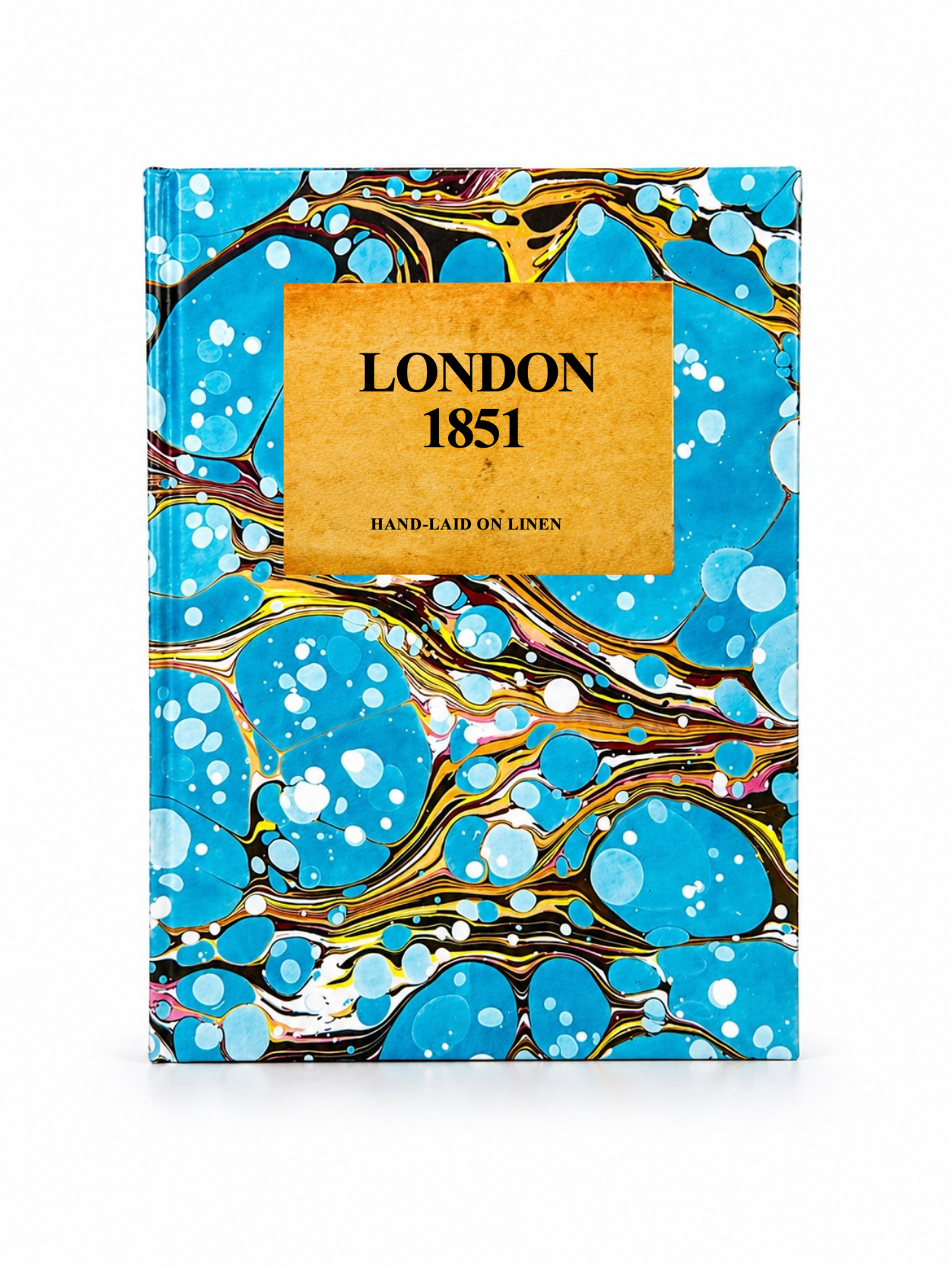 Image 3 of 4
 Image 4 of 4
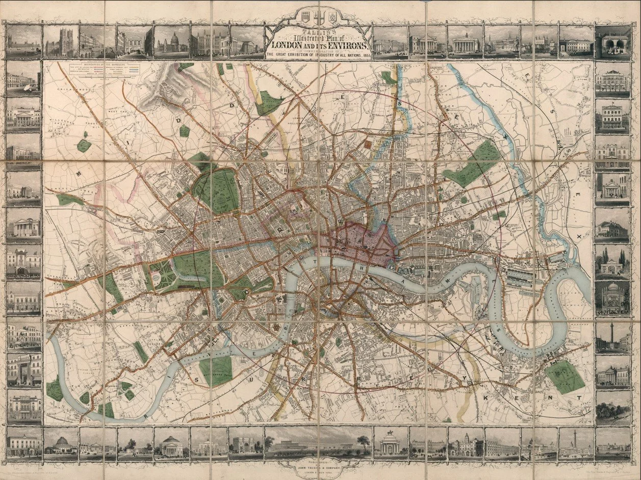
A highly decorative and detailed antique map of London published in 1851 by John Tallis, issued during the year of the Great Exhibition held at Hyde Park. It captures London at the peak of its early Victorian confidence, when the city was presenting itself as the centre of global industry, trade and innovation.
The map shows London densely packed along the River Thames, with rapidly expanding districts spreading outward into what were then still developing suburbs. Major streets, bridges and landmarks are clearly shown, giving a strong sense of a city in full motion and transformation.
What makes this map especially distinctive is its elaborate decorative border. Surrounding the map are finely engraved vignettes of London’s most important public buildings and monuments, including iconic structures such as St Paul’s Cathedral, the Houses of Parliament, Buckingham Palace and other major civic and cultural institutions. These illustrations frame the city almost like a gallery, reflecting the pride and grandeur of Victorian London during the Great Exhibition era.
Each map is hand-laid on linen, enhancing durability and preserving colour over time. The linen backing also allows you to iron the reverse to remove folds and creases.
Supplied folded in a labelled, decorative package as shown in images. (Design of packaging may vary)
Available in two sizes
36 × 49cm (small)
58 × 76cm (large)