
 Image 1 of 4
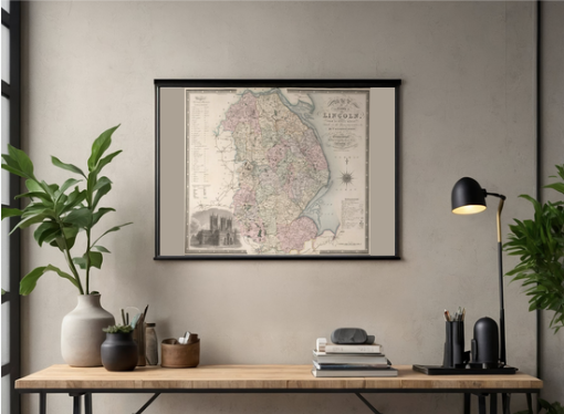 Image 2 of 4
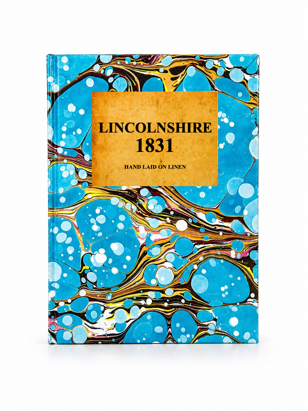 Image 3 of 4
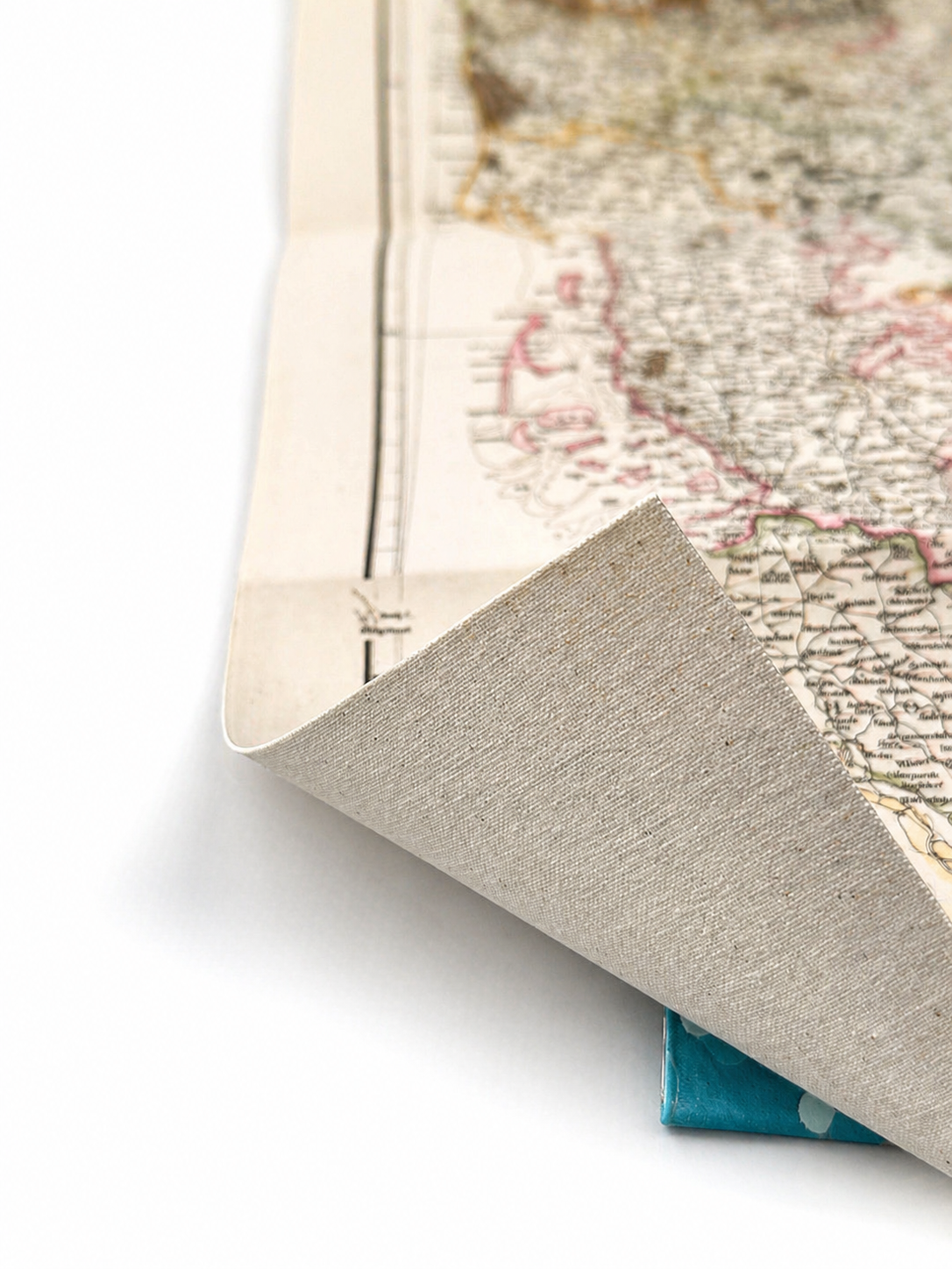 Image 4 of 4
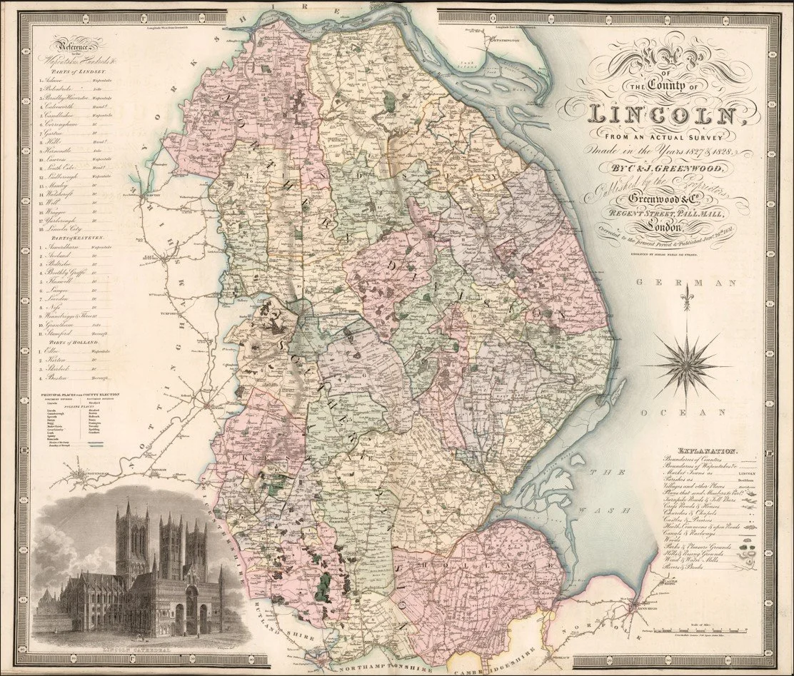
This finely engraved map of Lincolnshire was produced by Christopher and John Greenwood and published in 1831 as part of their large-scale county series of England. It depicts the county in exceptional detail, showing towns, villages, parish boundaries, turnpike roads, rivers, canals and estate lands with remarkable accuracy for the pre-Ordnance Survey period. The map clearly illustrates Lincolnshire’s distinctive landscape of fenlands, agricultural estates and coastal geography, alongside key settlements such as Lincoln, Boston and Grantham.
Each map is hand-laid on linen, enhancing durability and preserving colour over time. The linen backing also allows you to iron the reverse to remove folds and creases.
Supplied folded in a labelled, decorative package as shown in images. (Design of packaging may vary)
Available in one size
36 × 44cm