
 Image 1 of 4
 Image 2 of 4
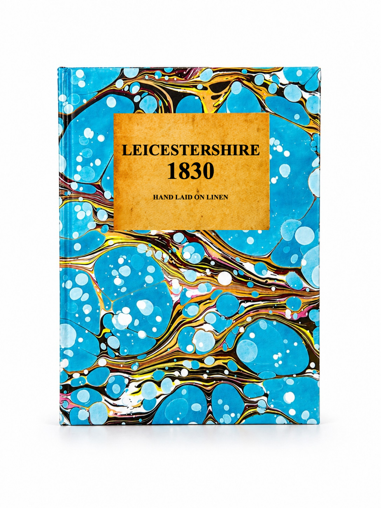 Image 3 of 4
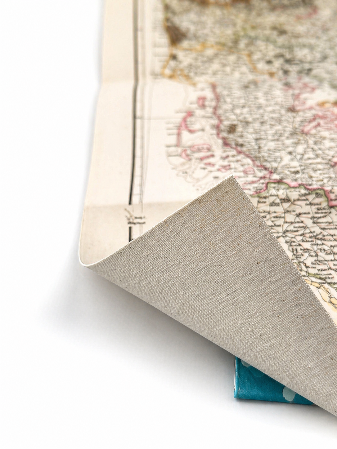 Image 4 of 4
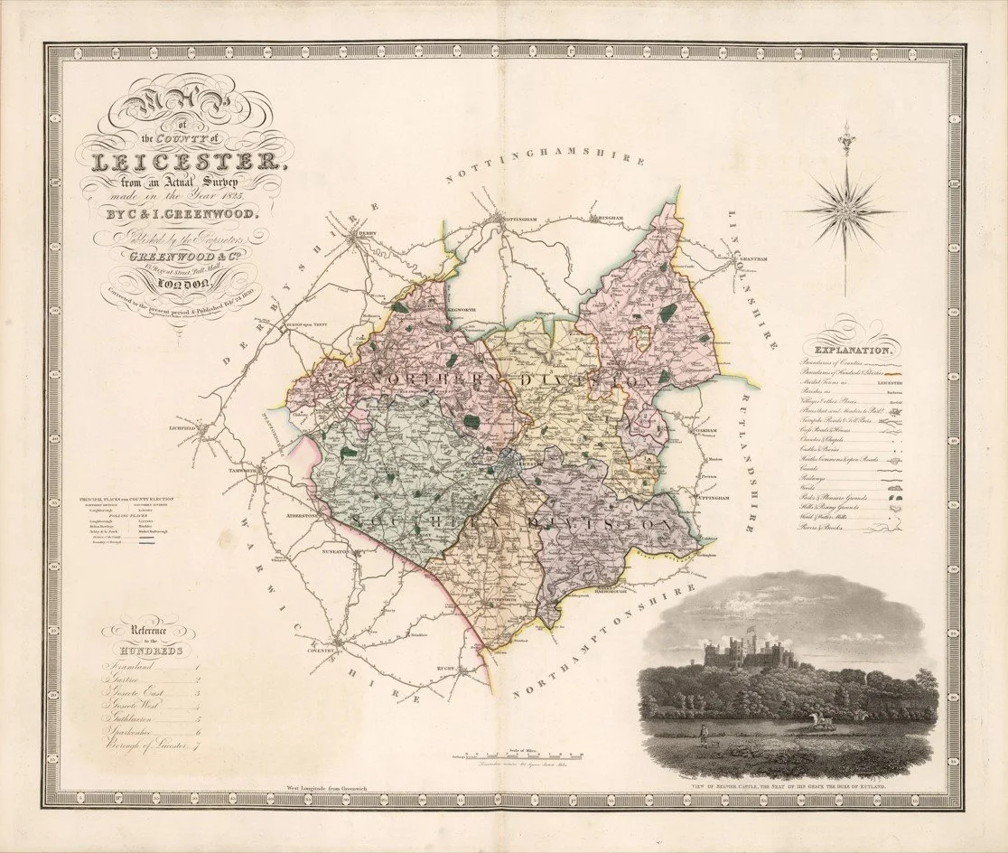
This finely detailed map of Leicestershire was engraved by Christopher and John Greenwood and published in 1830 as part of their large-scale county survey of England. It presents the county with exceptional precision, showing towns, villages, turnpike roads, rivers, canals, parish boundaries and estate lands in meticulous detail, reflecting one of the most accurate pre-Ordnance Survey mappings of the period. The rural character of Leicestershire is clearly depicted alongside key market towns such as Leicester, offering a clear view of settlement patterns and infrastructure in the early 19th century.
Each map is hand-laid on linen, enhancing durability and preserving colour over time. The linen backing also allows you to iron the reverse to remove folds and creases.
Supplied folded in a labelled, decorative package as shown in images. (Design of packaging may vary)
Available in one size
36 × 44cm