
 Image 1 of 4
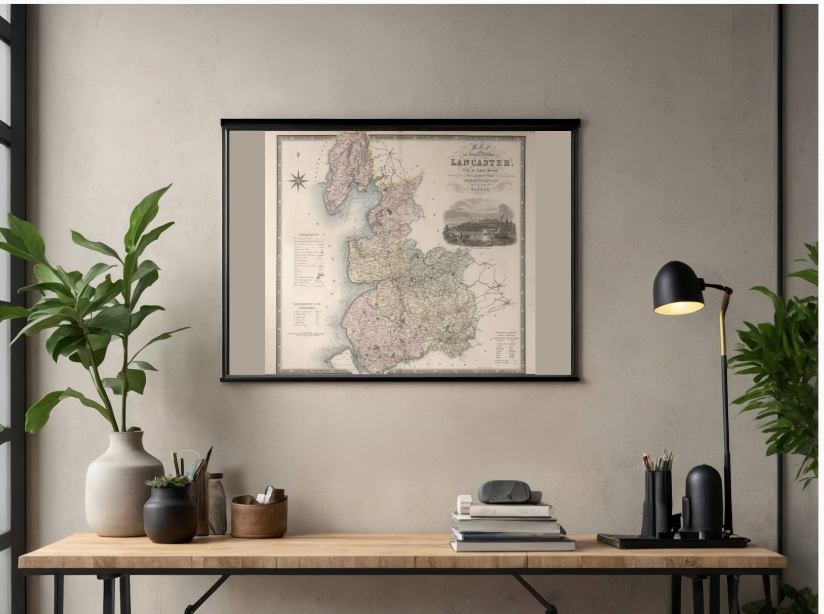 Image 2 of 4
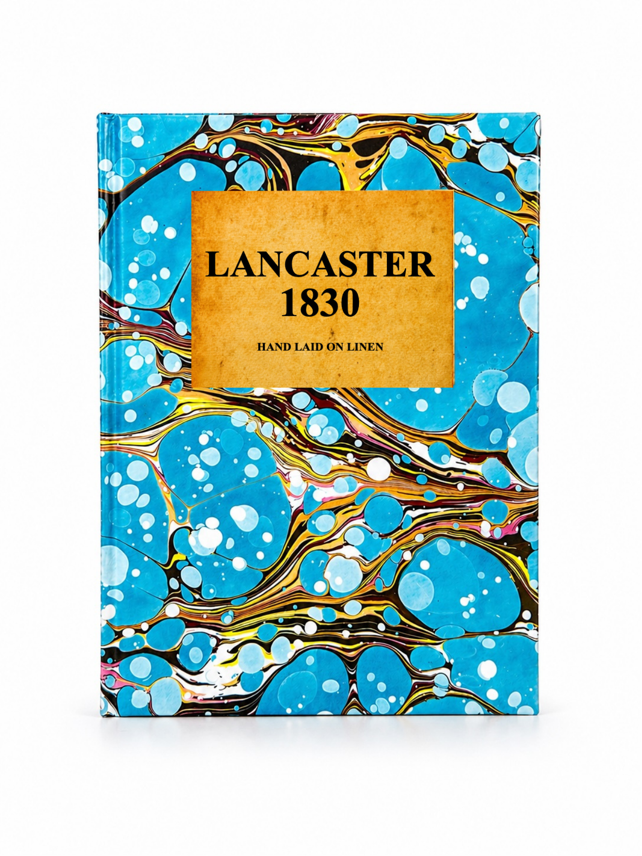 Image 3 of 4
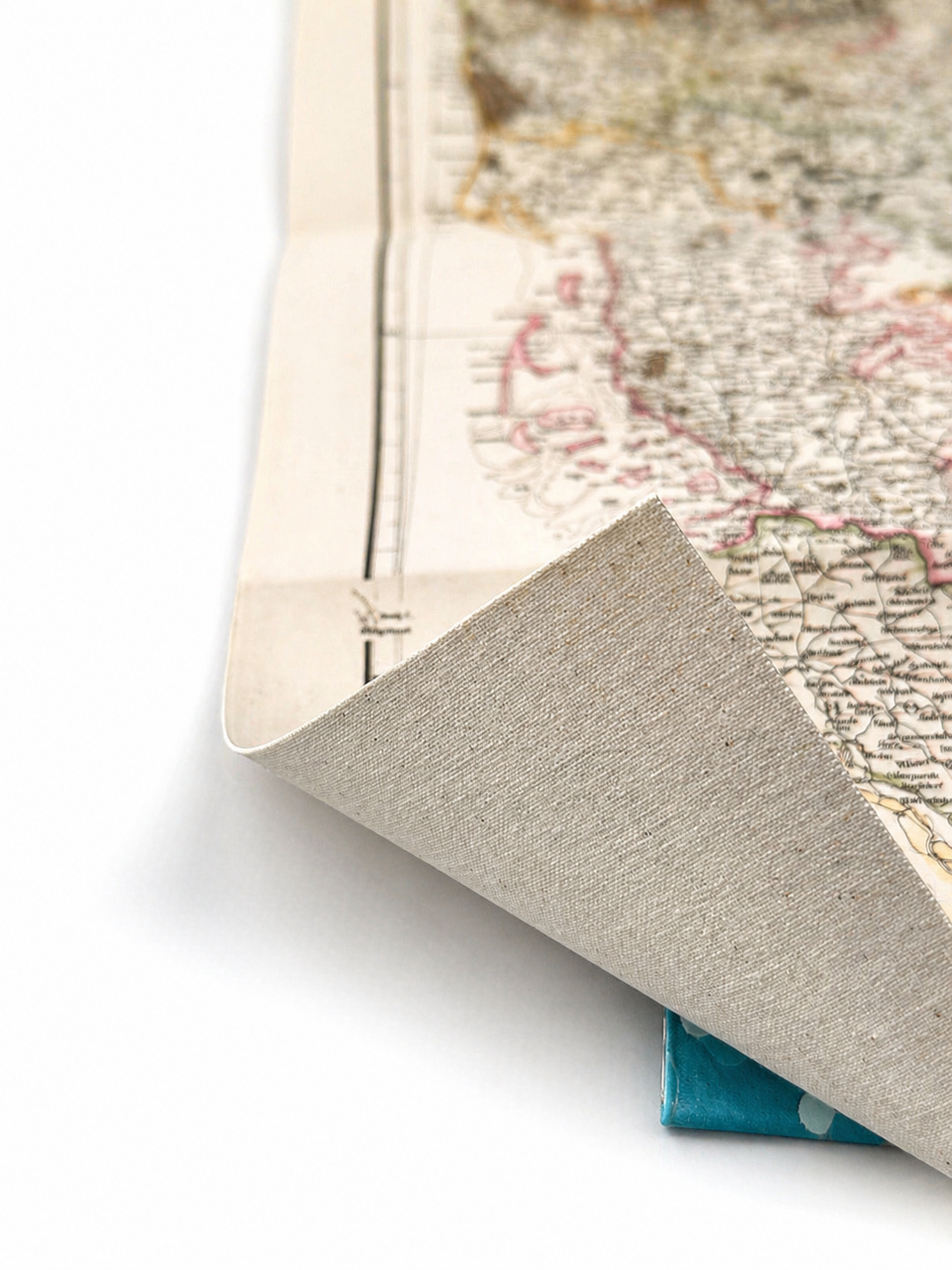 Image 4 of 4
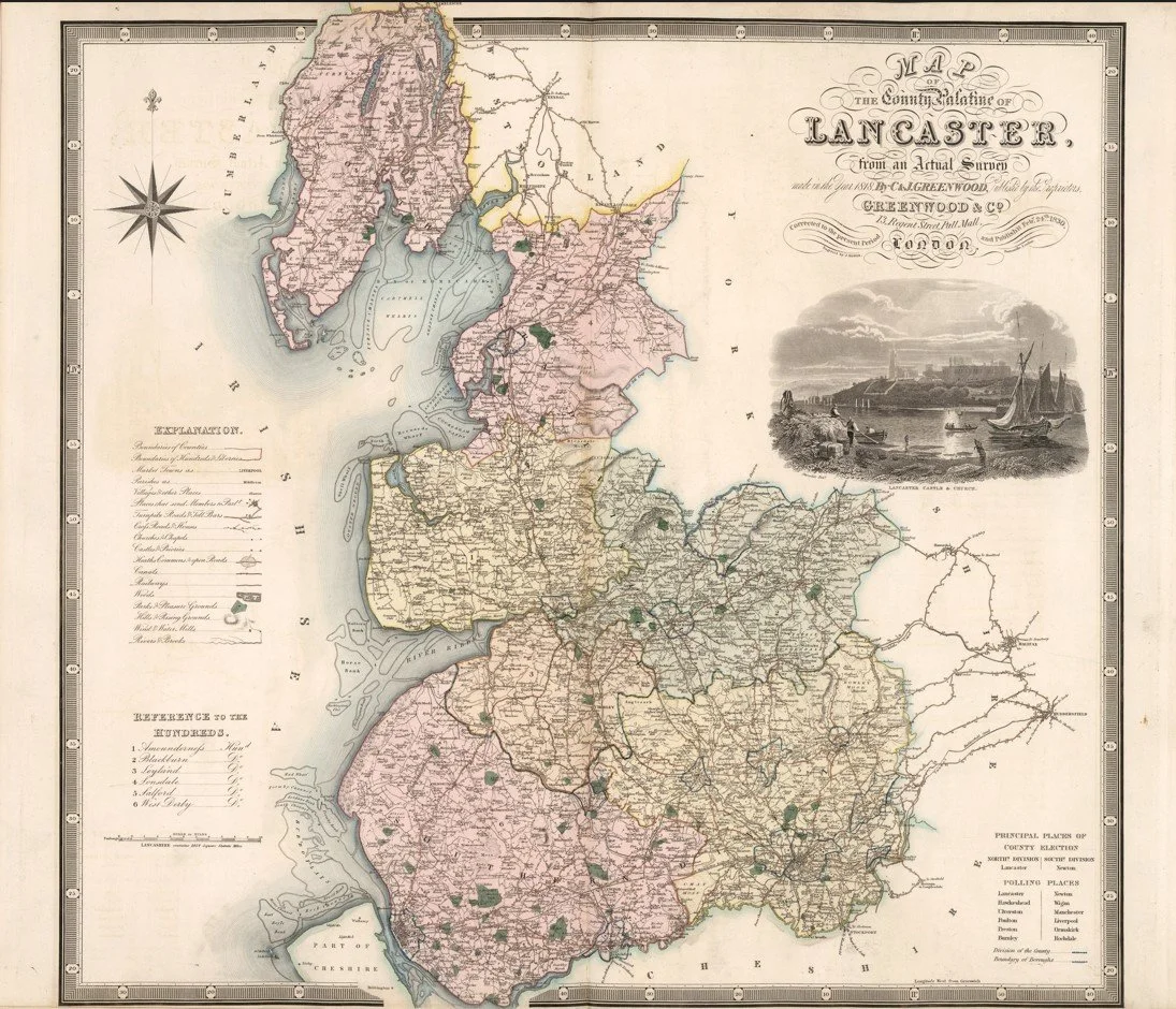
This finely engraved map of Lancashire was produced by Christopher and John Greenwood and published in 1830 as part of their ambitious large-scale county survey of England. It depicts the county in exceptional detail, showing towns, villages, turnpike roads, rivers, canals, parish boundaries and estate lands with a level of precision that pre-dates the Ordnance Survey’s national mapping. Industrial centres such as Manchester, Liverpool and Preston are clearly identifiable in their early expansion phase, reflecting Lancashire’s rapid growth during the Industrial Revolution.
Each map is hand-laid on linen, enhancing durability and preserving colour over time. The linen backing also allows you to iron the reverse to remove folds and creases.
Supplied folded in a labelled, decorative package as shown in images. (Design of packaging may vary)
Available in one size
36 × 44cm