
 Image 1 of 4
 Image 2 of 4
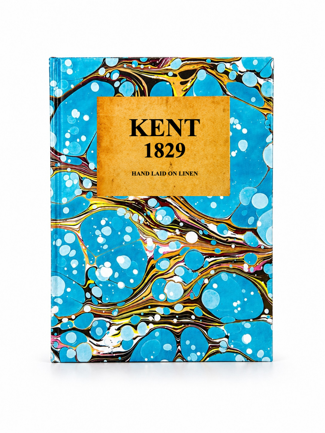 Image 3 of 4
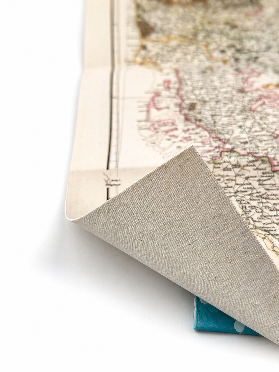 Image 4 of 4
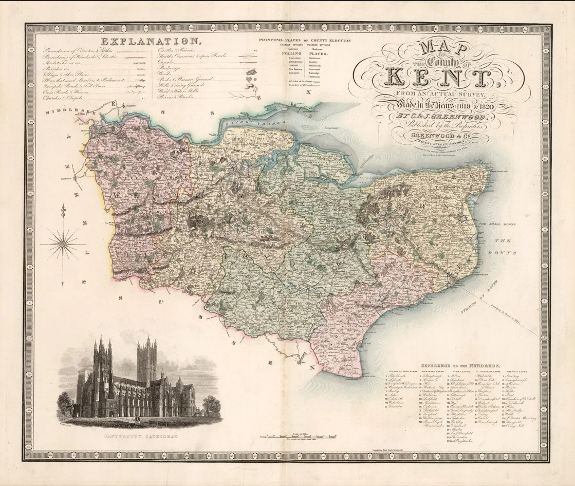
This finely detailed map of Kent was engraved by Christopher and John Greenwood and published in 1829 as part of their large-scale series of English county maps. It presents the county with exceptional precision, showing parishes, market towns, roads, turnpike routes, rivers and estates in remarkable detail for its time. Produced at a large scale typical of the Greenwoods’ work, it reflects early 19th-century survey accuracy before the Ordnance Survey became dominant.
Each map is hand-laid on linen, enhancing durability and preserving colour over time. The linen backing also allows you to iron the reverse to remove folds and creases.
Supplied folded in a labelled, decorative package as shown in images. (Design of packaging may vary)
Available in one size
39 × 46cm