
 Image 1 of 4
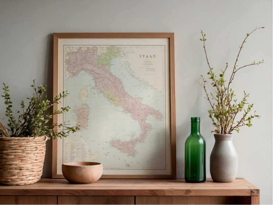 Image 2 of 4
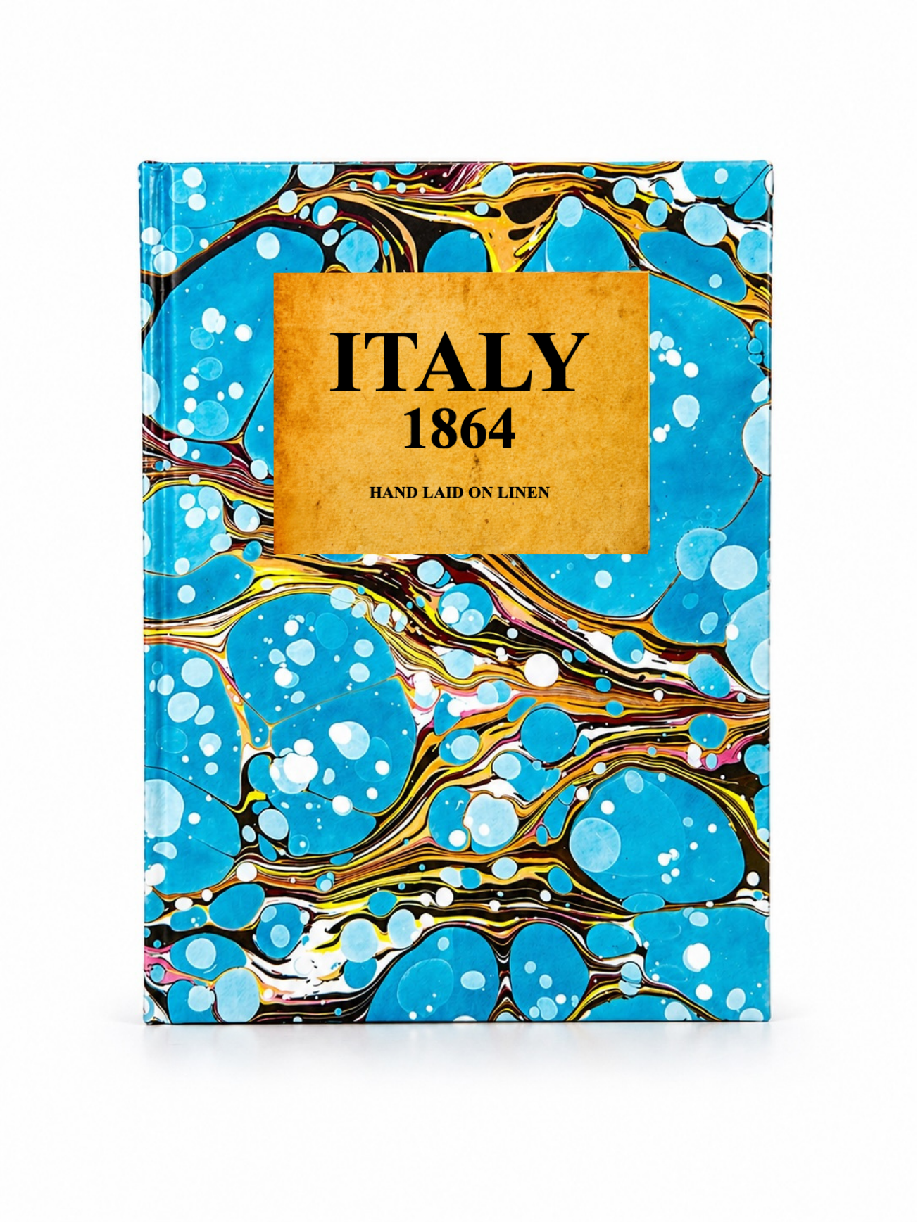 Image 3 of 4
 Image 4 of 4
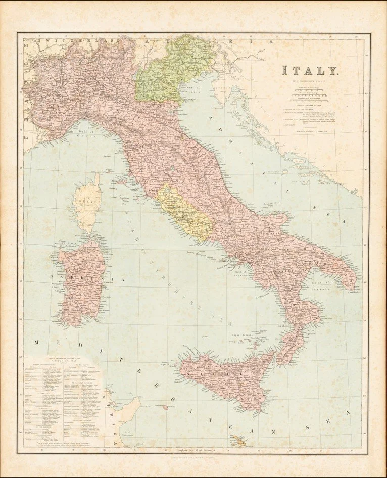
This detailed map of Italy was produced by John Bartholomew and published in 1864, reflecting the early years of Italian unification. It presents the peninsula with clearly defined regional divisions, including former states such as Piedmont, Lombardy, and the Papal States, alongside emerging national boundaries. Railways and major transport routes are shown in development, highlighting Italy’s growing connectivity during this period. Executed in Bartholomew’s characteristic clean and precise engraving style, the map uses subtle hand colouring and hachured relief to convey topography, offering a clear and informative depiction of Italy at a moment of significant political transformation.
Each map is hand-laid on linen, enhancing durability and preserving colour over time. The linen backing also allows you to iron the reverse to remove folds and creases.
Supplied folded in a labelled, decorative package as shown in images. (Design of packaging may vary)
Available in one size
46 × 38cm