
 Image 1 of 4
 Image 2 of 4
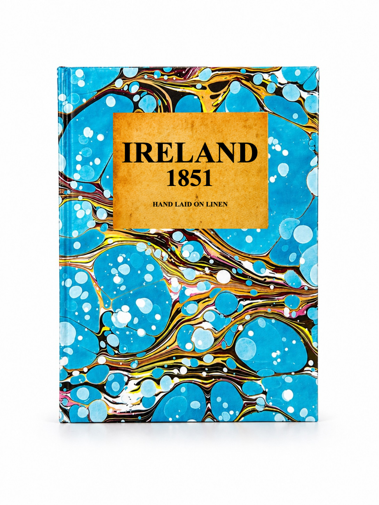 Image 3 of 4
 Image 4 of 4
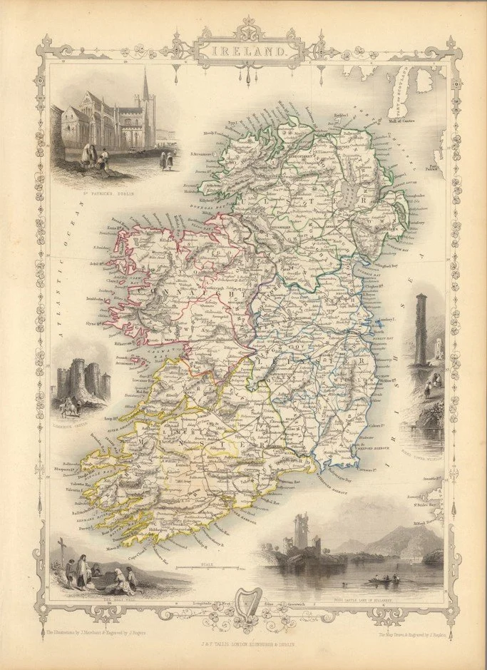
This decorative map of Ireland was engraved by John Rapkin and published by John Tallis in 1851 as part of the Illustrated Atlas. It shows detailed county boundaries, towns and transport routes, framed by Tallis’s ornate border design.
It is especially notable for its engraved vignette illustrations, including views of St Patrick’s Cathedral in Dublin, Limerick Castle, Ross Castle (Killarney), the Round Tower of Wicklow, and the Holy Well, which add strong cultural and architectural context to the map.
Each map is hand-laid on linen, enhancing durability and preserving colour over time. The linen backing also allows you to iron the reverse to remove folds and creases.
Supplied folded in a labelled, decorative package as shown in images. (Design of packaging may vary)
Available in one size
48 × 38cm