
 Image 1 of 4
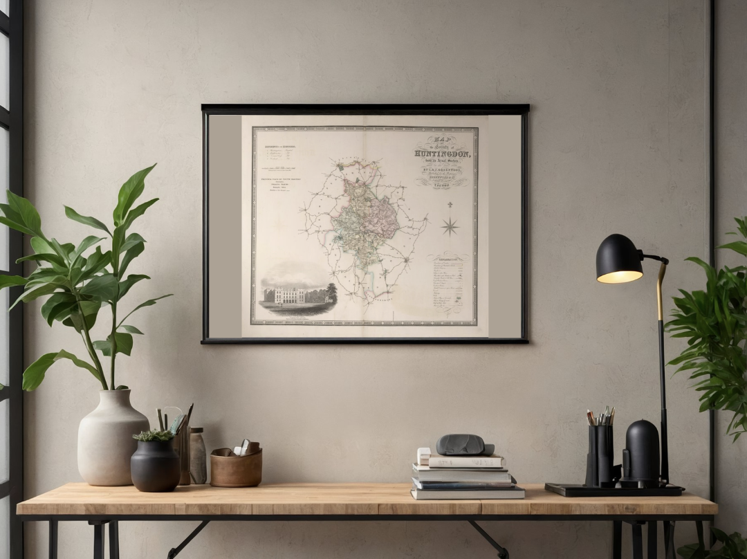 Image 2 of 4
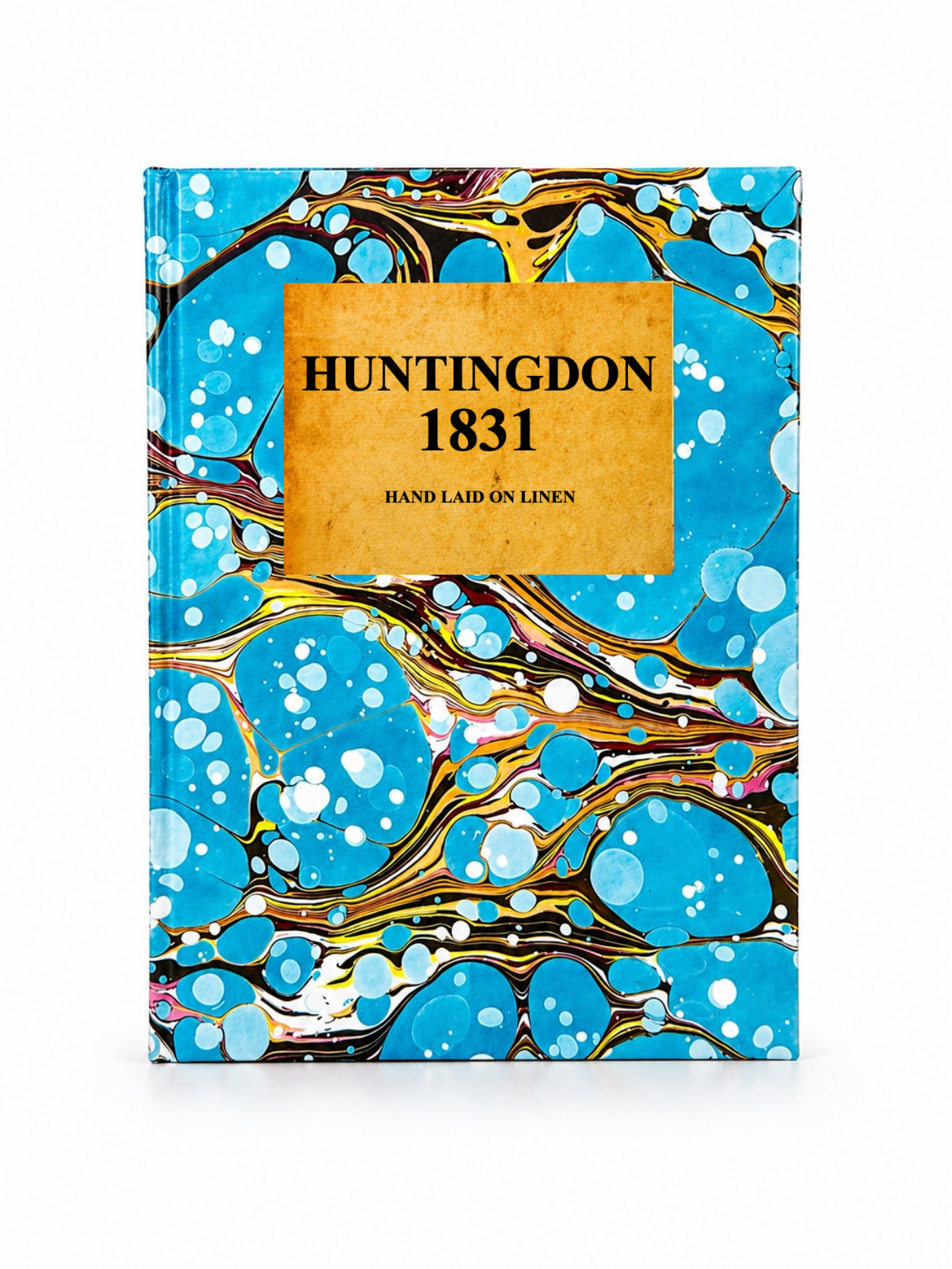 Image 3 of 4
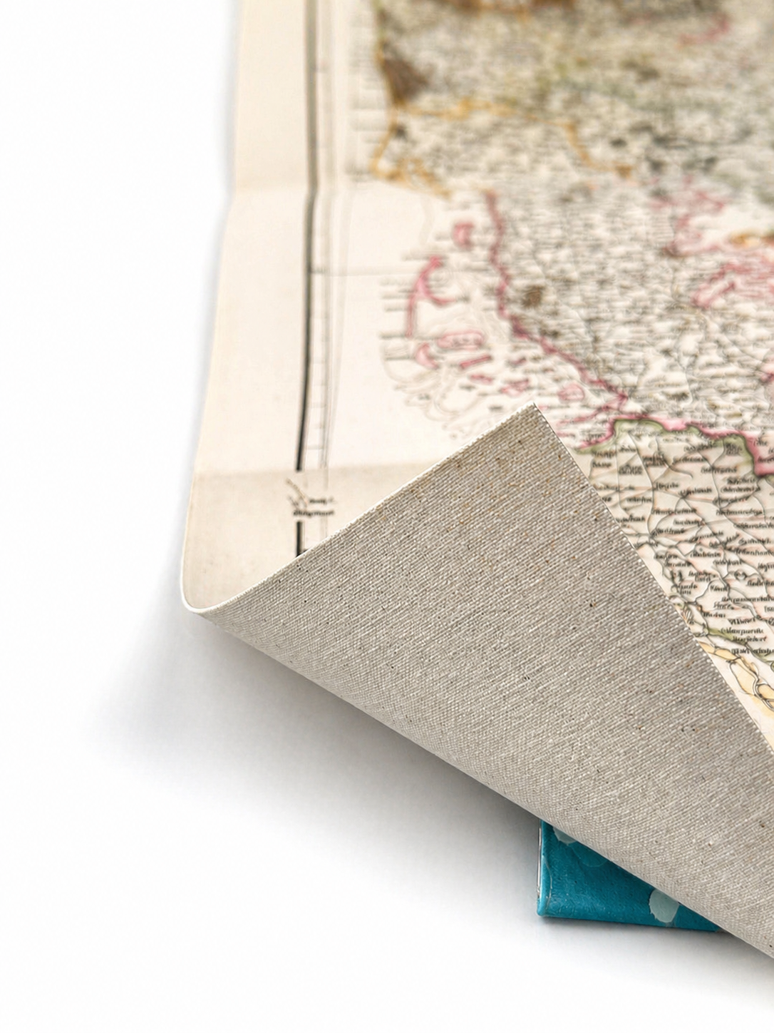 Image 4 of 4
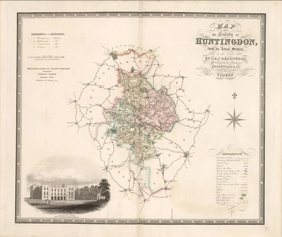
This finely detailed map of Huntingdonshire was created by cartographers Christopher Greenwood and John Greenwood, and published in 1831 by Greenwood & Co.. Renowned for their exceptionally accurate county surveys, the Greenwood brothers depict Huntingdonshire with remarkable precision, showing its towns, villages, road networks, rivers, and surrounding countryside in crisp engraved detail. The elegant borderwork and fine typography make this a striking example of early 19th century English cartography.
Each map is hand-laid on linen, enhancing durability and preserving colour over time. The linen backing also allows you to iron the reverse to remove folds and creases.
Supplied folded in a labelled, decorative package as shown in images. (Design of packaging may vary)
Available in one size
39 × 46cm