
 Image 1 of 4
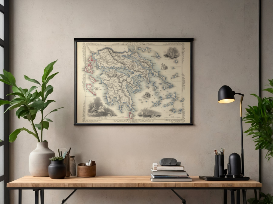 Image 2 of 4
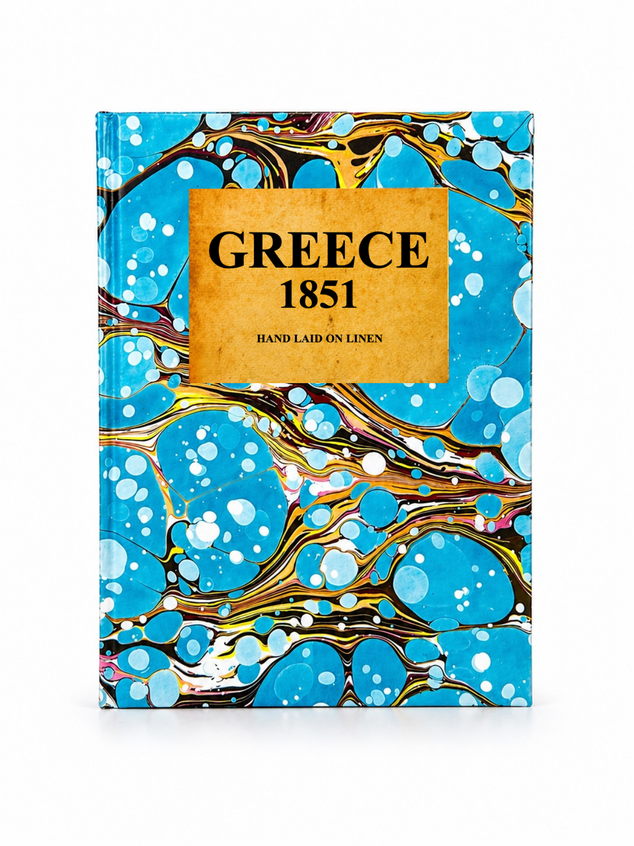 Image 3 of 4
 Image 4 of 4
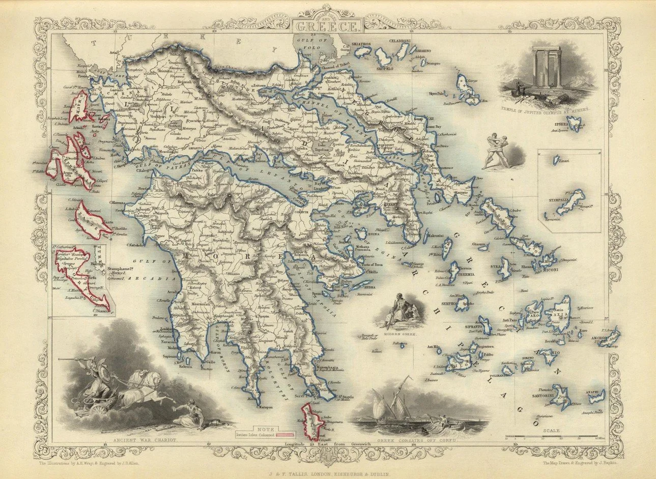
This detailed map of Greece was engraved by cartographer John Rapkin and published in 1851 by J. Tallis & Company. One of the finest examples of Victorian decorative cartography, it depicts Greece shortly after independence, showing its regional divisions, principal cities, islands, and surrounding seas in crisp engraved detail. Framed by the elegant borderwork characteristic of Tallis maps, it offers a fascinating snapshot of the young Greek state during a pivotal period of 19th century European history.
Each map is hand-laid on linen, enhancing durability and preserving colour over time. The linen backing also allows you to iron the reverse to remove folds and creases.
Supplied folded in a labelled, decorative package as shown in images. (Design of packaging may vary)
Available in one size
36 × 48cm
This detailed map of Greece was engraved by cartographer John Rapkin and published in 1851 by J. Tallis & Company. One of the finest examples of Victorian decorative cartography, it depicts Greece shortly after independence, showing its regional divisions, principal cities, islands, and surrounding seas in crisp engraved detail. Framed by the elegant borderwork characteristic of Tallis maps, it offers a fascinating snapshot of the young Greek state during a pivotal period of 19th century European history.
Each map is hand-laid on linen, enhancing durability and preserving colour over time. The linen backing also allows you to iron the reverse to remove folds and creases.
Supplied folded in a labelled, decorative package as shown in images. (Design of packaging may vary)
Available in one size
36 × 48cm