
 Image 1 of 4
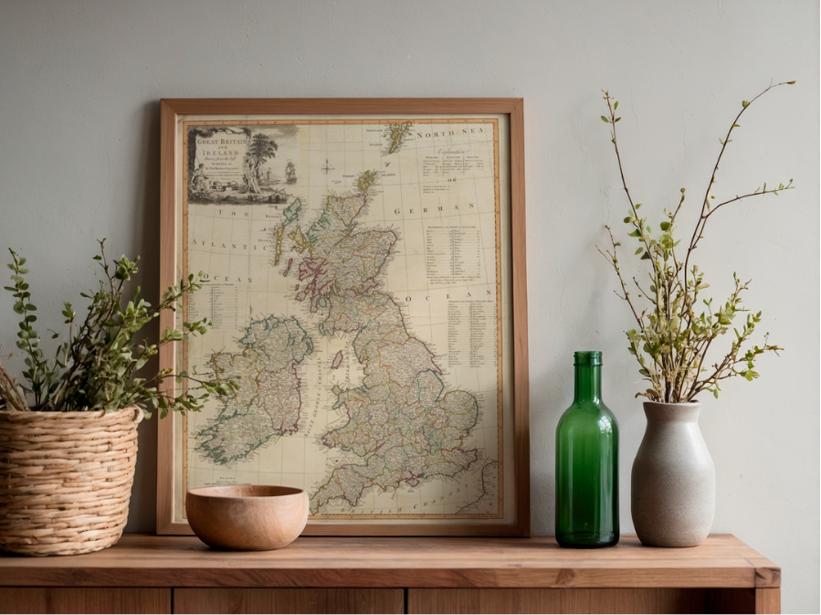 Image 2 of 4
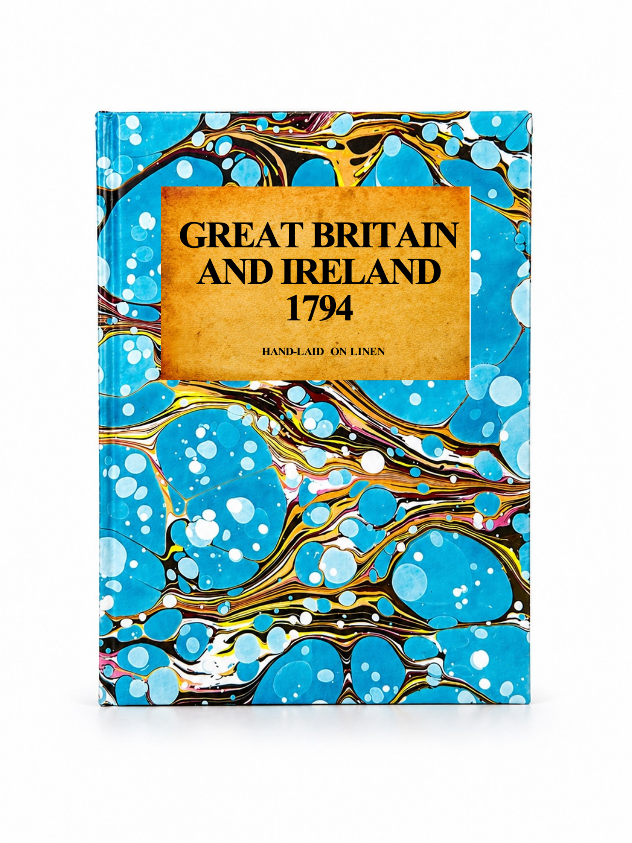 Image 3 of 4
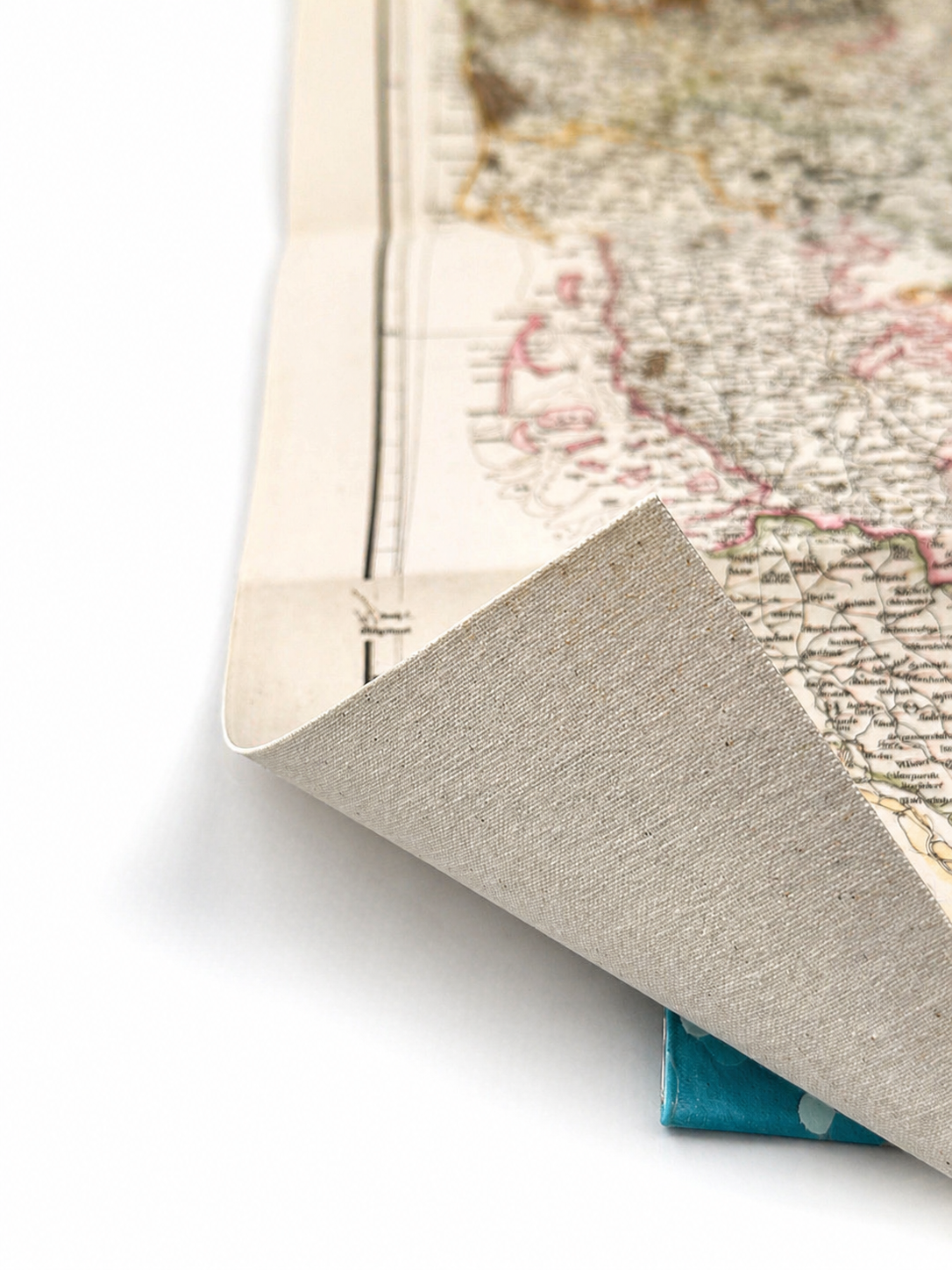 Image 4 of 4
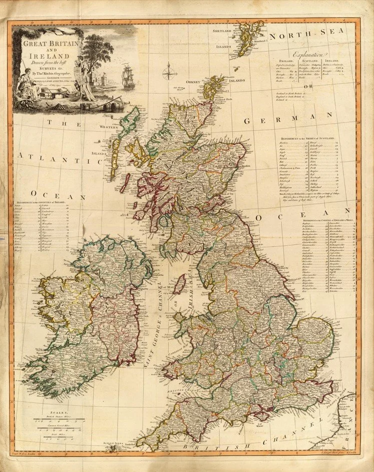
A finely engraved 1794 map of Great Britain and Ireland, drawn by the celebrated cartographer Thomas Kitchin and published by Laurie & Whittle at 53 Fleet Street, London, dated 12 May 1794. Hand-coloured in outline, it records the counties and shires of England, Scotland, Wales and Ireland, with individual county names clearly identified alongside major cities, towns and roads.
The map is particularly evocative for its 18th-century county boundaries and pictorial depiction of relief, offering a snapshot of the British Isles just before the dramatic expansion of the Industrial Revolution.
Each map is hand-laid on linen, enhancing durability and preserving colour over time. The linen backing also allows you to iron the reverse to remove folds and creases.
Supplied folded in a labelled, decorative package as shown in images. (Design of packaging may vary)
Available in one size
48 × 38cm