
 Image 1 of 4
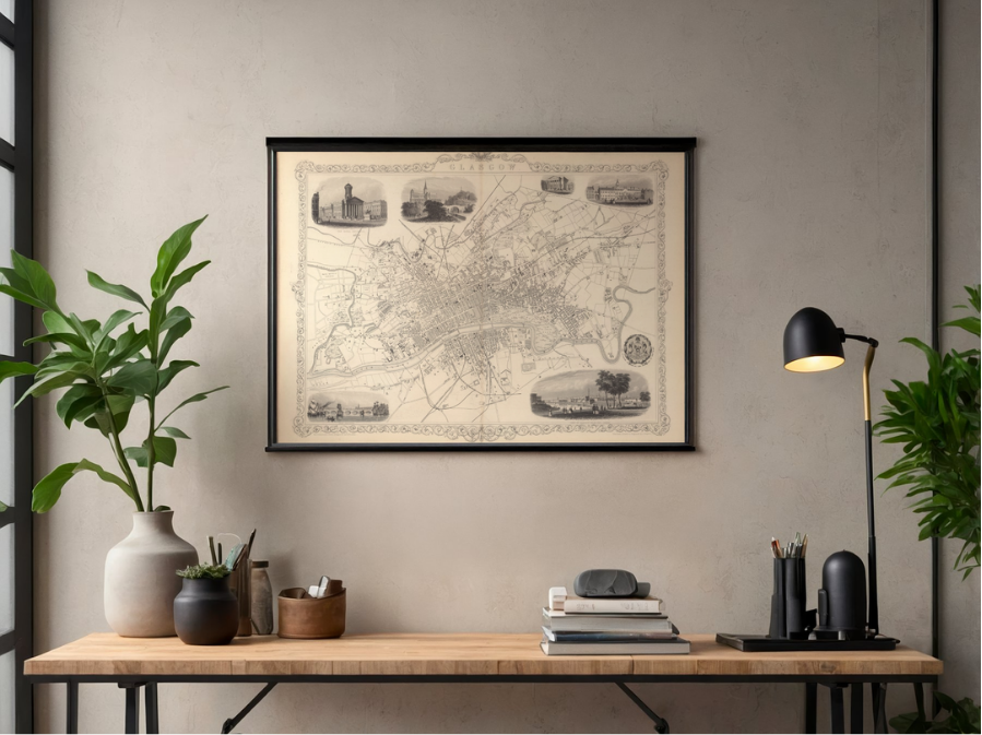 Image 2 of 4
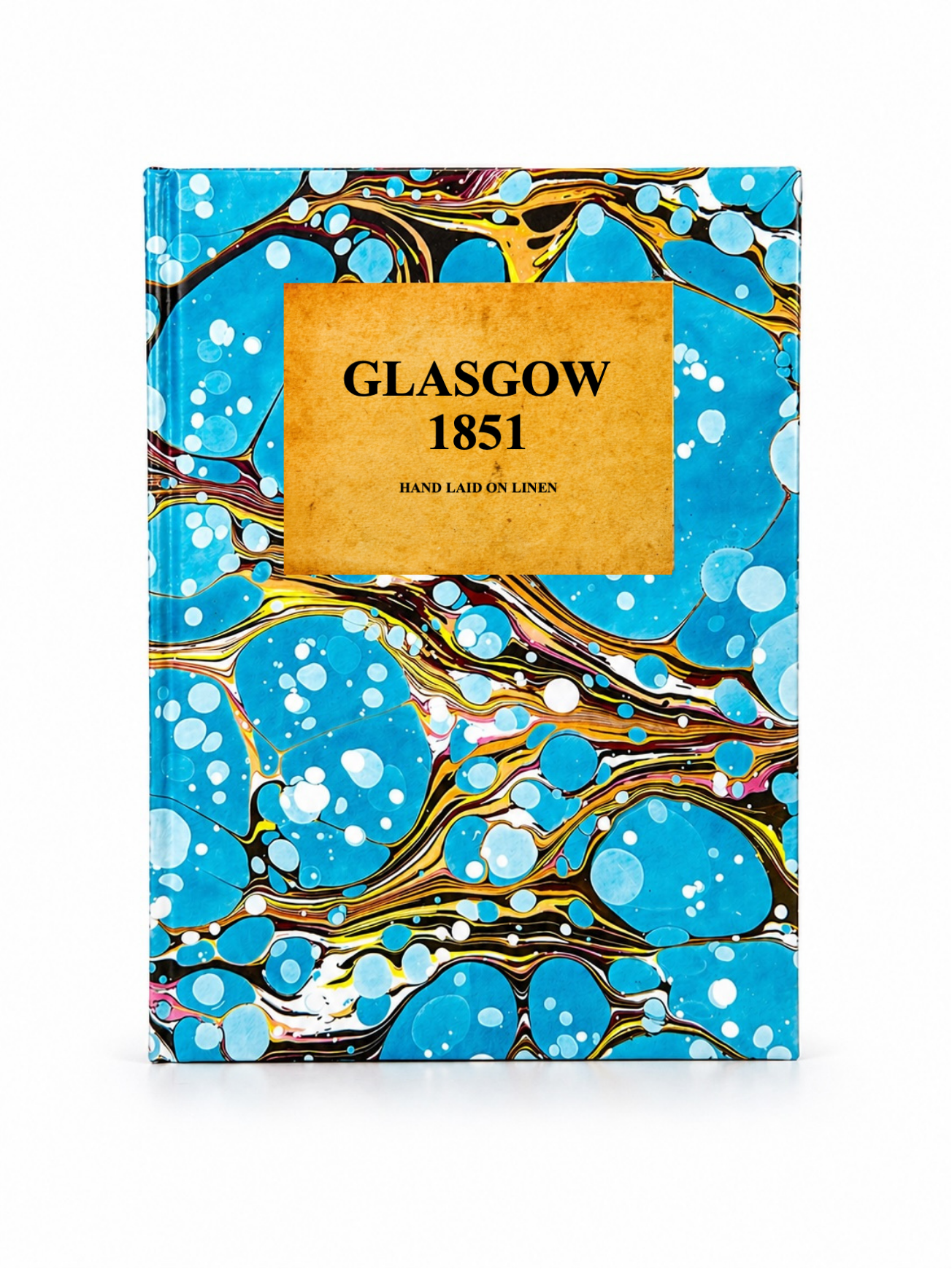 Image 3 of 4
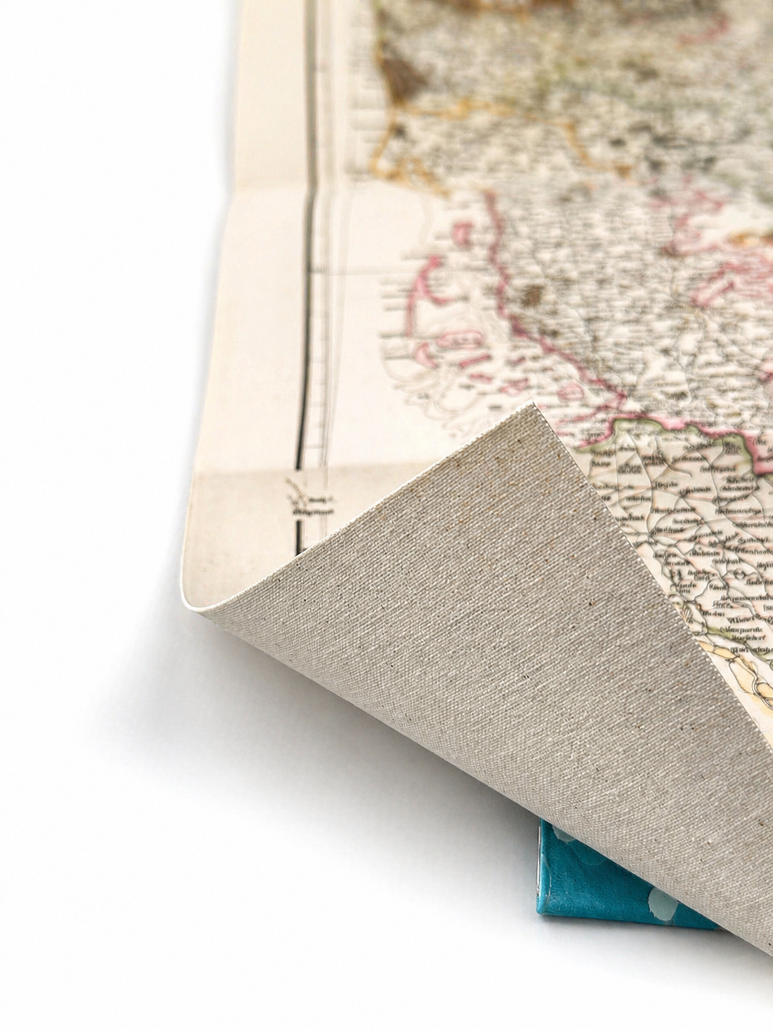 Image 4 of 4
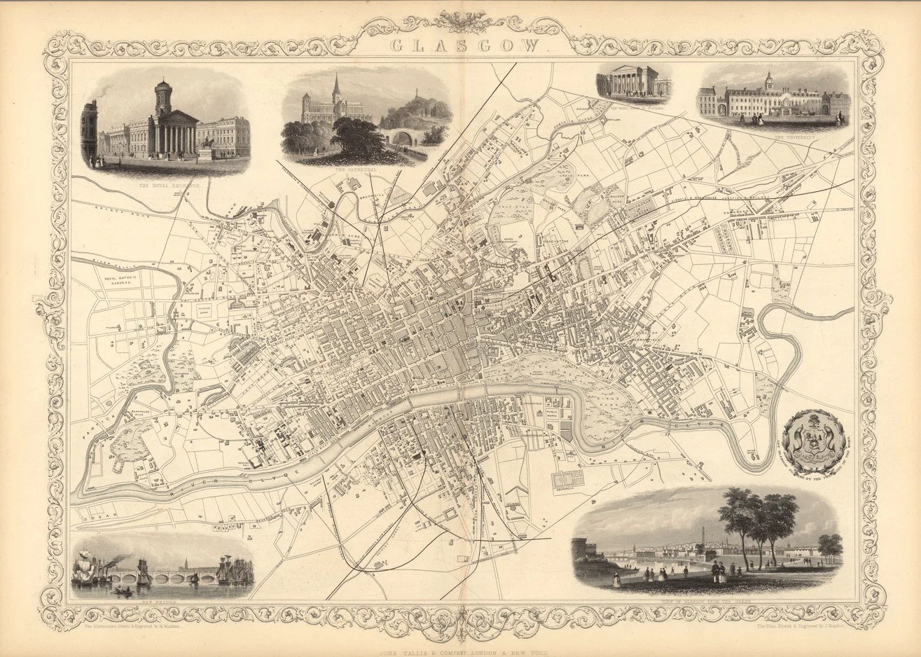
This detailed map of Glasgow was drawn and engraved by cartographer John Rapkin and published in 1851 by J. Tallis & Company, with decorative illustrations by Henry Winkles. One of the finest Victorian town plans of the city, it captures Glasgow at the height of its industrial expansion, showing the River Clyde, early railway lines, principal streets, and notable landmarks, all framed by beautifully engraved surrounding vignettes of the city’s most prominent buildings.
Each map is hand-laid on linen, enhancing durability and preserving colour over time. The linen backing also allows you to iron the reverse to remove folds and creases.
Supplied folded in a labelled, decorative package as shown in images. (Design of packaging may vary)
Only Available in one size
36 × 48cm