
 Image 1 of 4
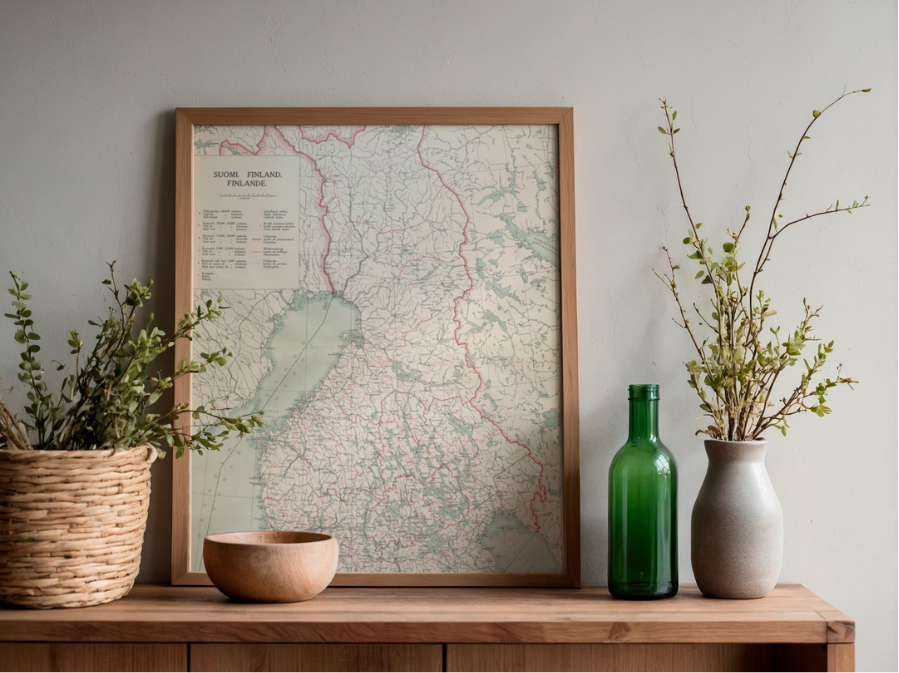 Image 2 of 4
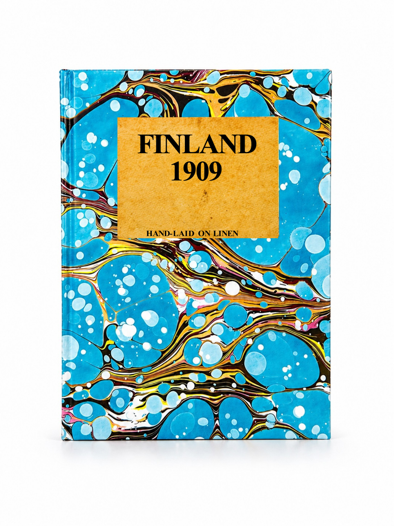 Image 3 of 4
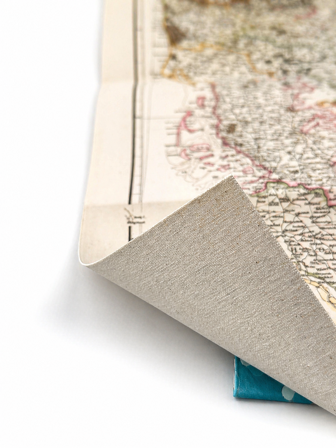 Image 4 of 4
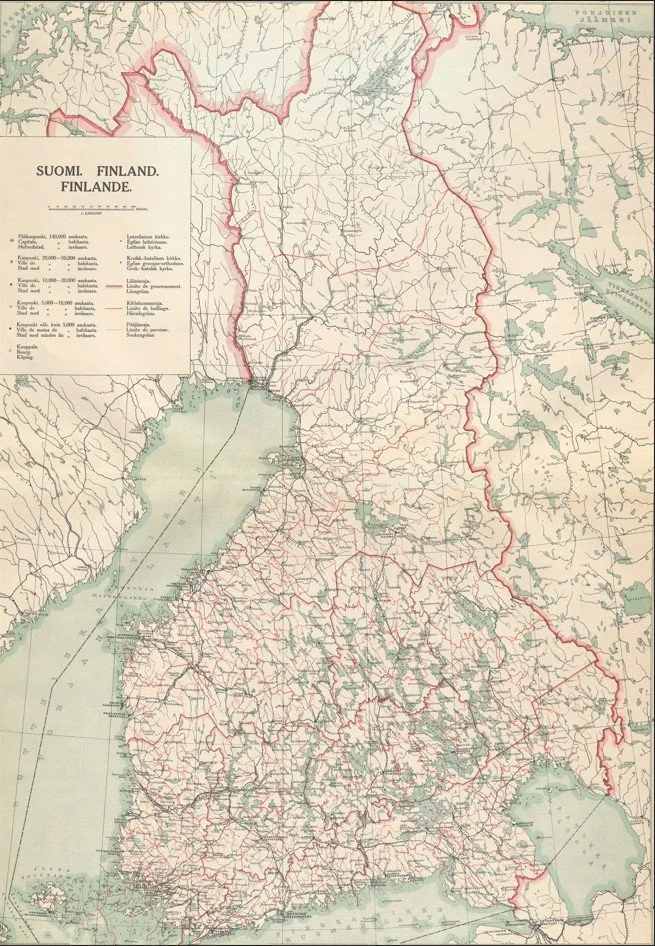
This detailed map of Finland, titled Suomi. Finland. Finlande., was produced in the early 20th century by the Helsinki printing house F. Tilgmann. Presented in Finnish, Swedish, and French, it reflects Finland’s multilingual administrative history during the final years of the Grand Duchy period. The map shows an intricate network of towns, roads, railways, waterways, and provincial boundaries, offering a fascinating snapshot of the country before independence, with finely printed detail and soft period colouring throughout.
Each map is hand-laid on linen, enhancing durability and preserving colour over time. The linen backing also allows you to iron the reverse to remove folds and creases.
Supplied folded in a labelled, decorative package as shown in images. (Design of packaging may vary)
Only Available in one size
34 × 48cm