
 Image 1 of 4
 Image 2 of 4
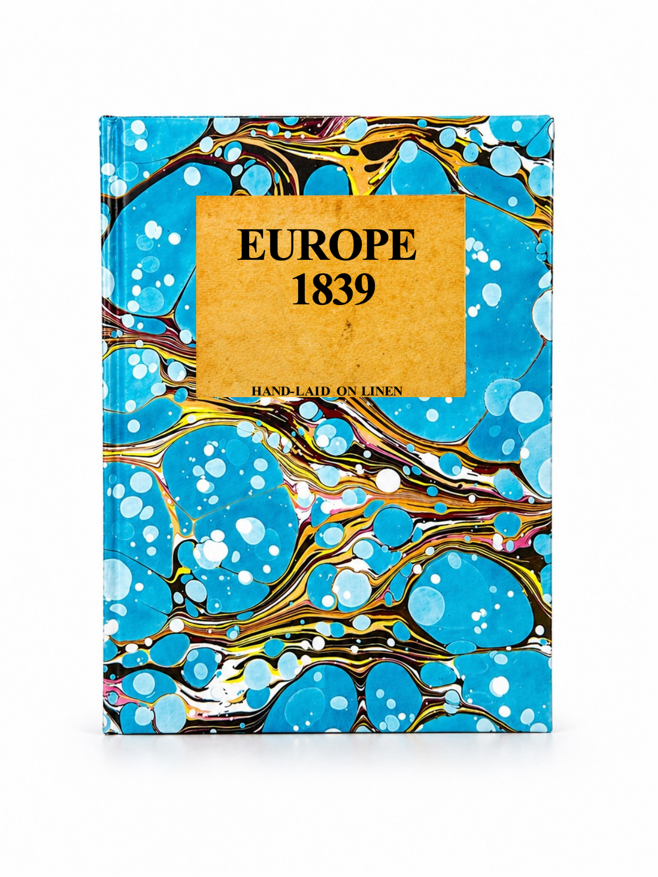 Image 3 of 4
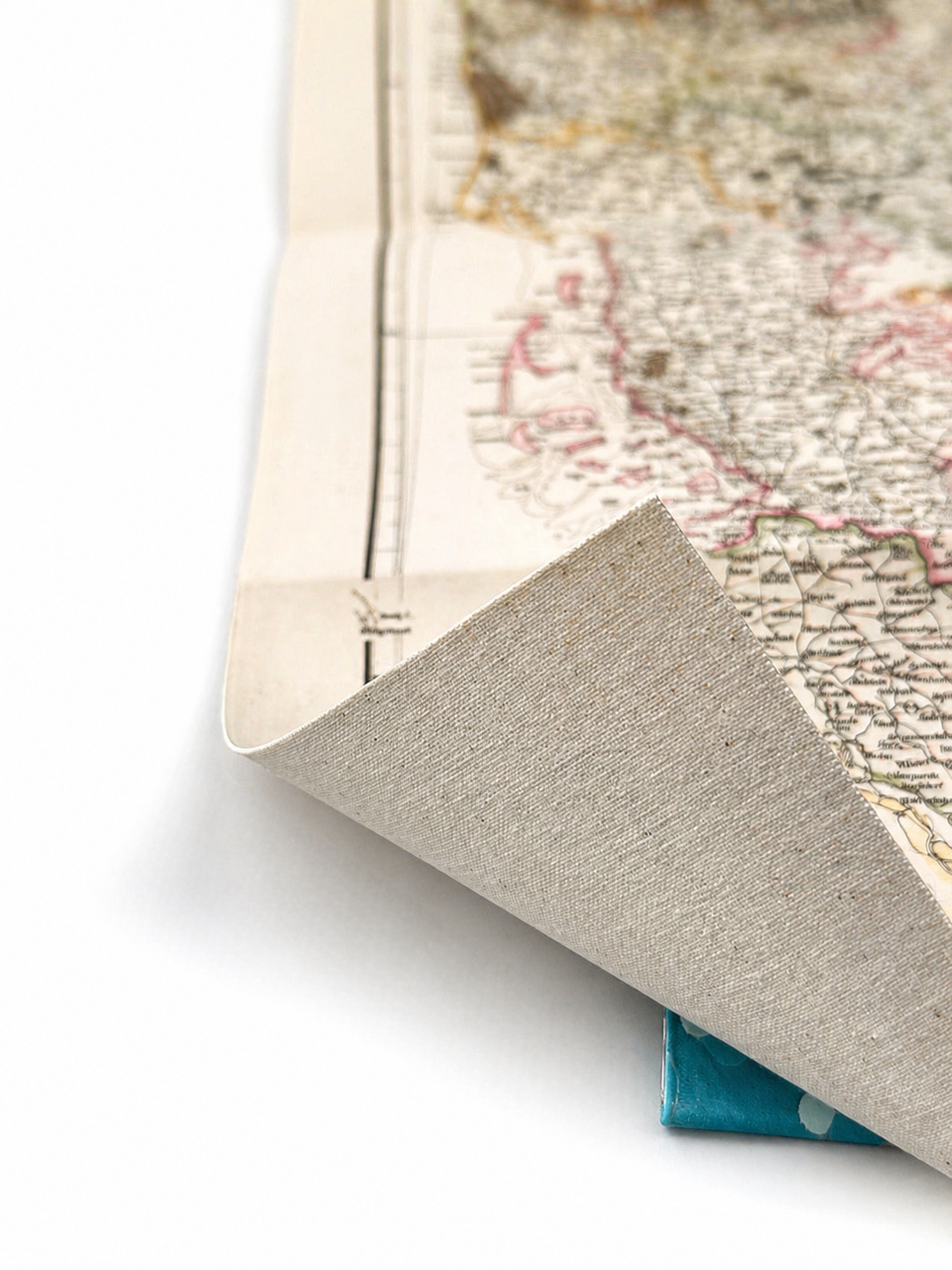 Image 4 of 4
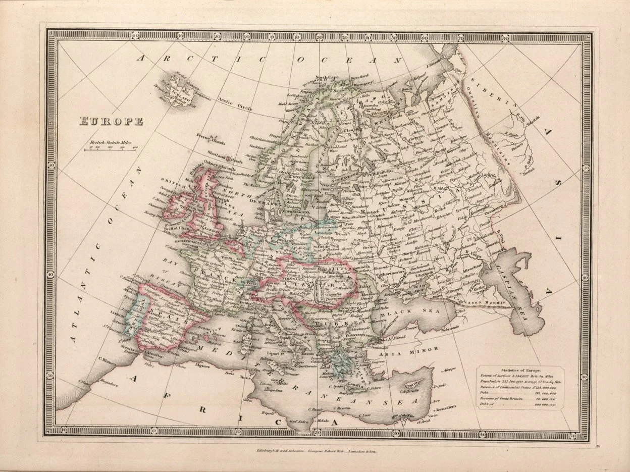
This detailed map of Europe was published in 1839 by the Edinburgh cartographic firm W. & A.K. Johnston, founded by brothers William Johnston and Alexander Keith Johnston. Known for their precision and fine engraving, the Johnston firm produced some of the most respected maps of the Victorian period. This piece captures Europe during a fascinating period of political change, showing the vast Austrian Empire, Russian Empire, and Ottoman Empire alongside the shifting borders of western Europe, with major cities and regional divisions presented in elegant period detail.
Each map is hand-laid on linen, enhancing durability and preserving colour over time. The linen backing also allows you to iron the reverse to remove folds and creases.
Supplied folded in a labelled, decorative package as shown in images. (Design of packaging may vary)
Available in 2 sizes
36 × 46cm
58 × 78cm