
 Image 1 of 4
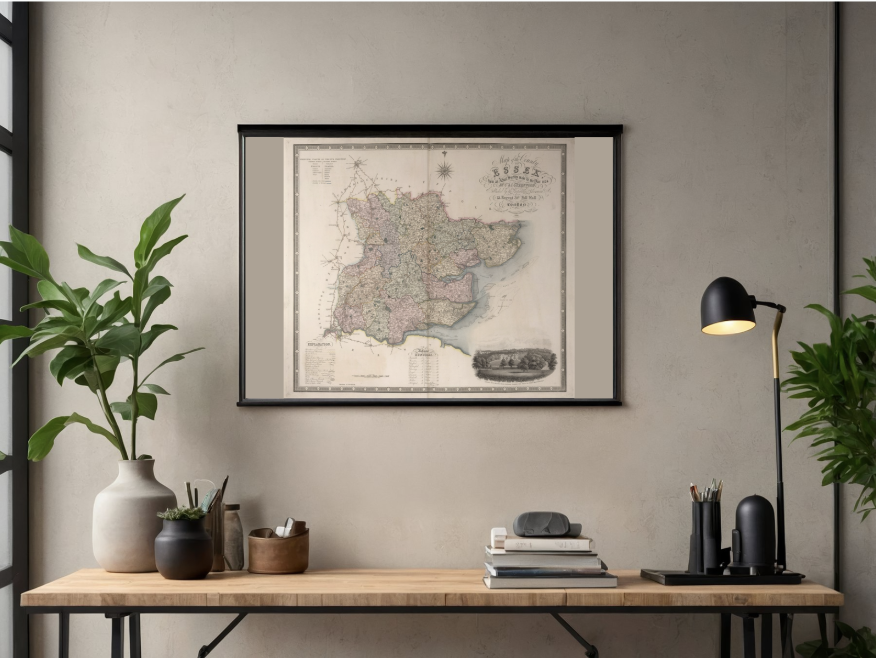 Image 2 of 4
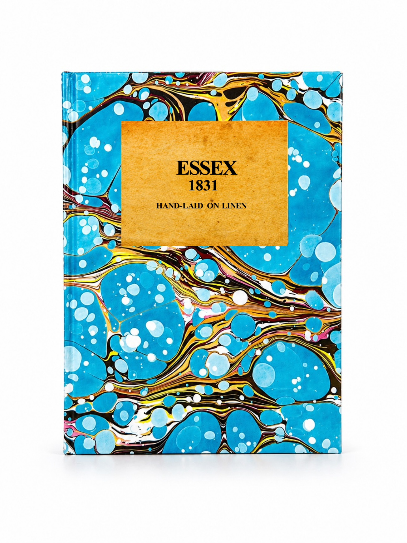 Image 3 of 4
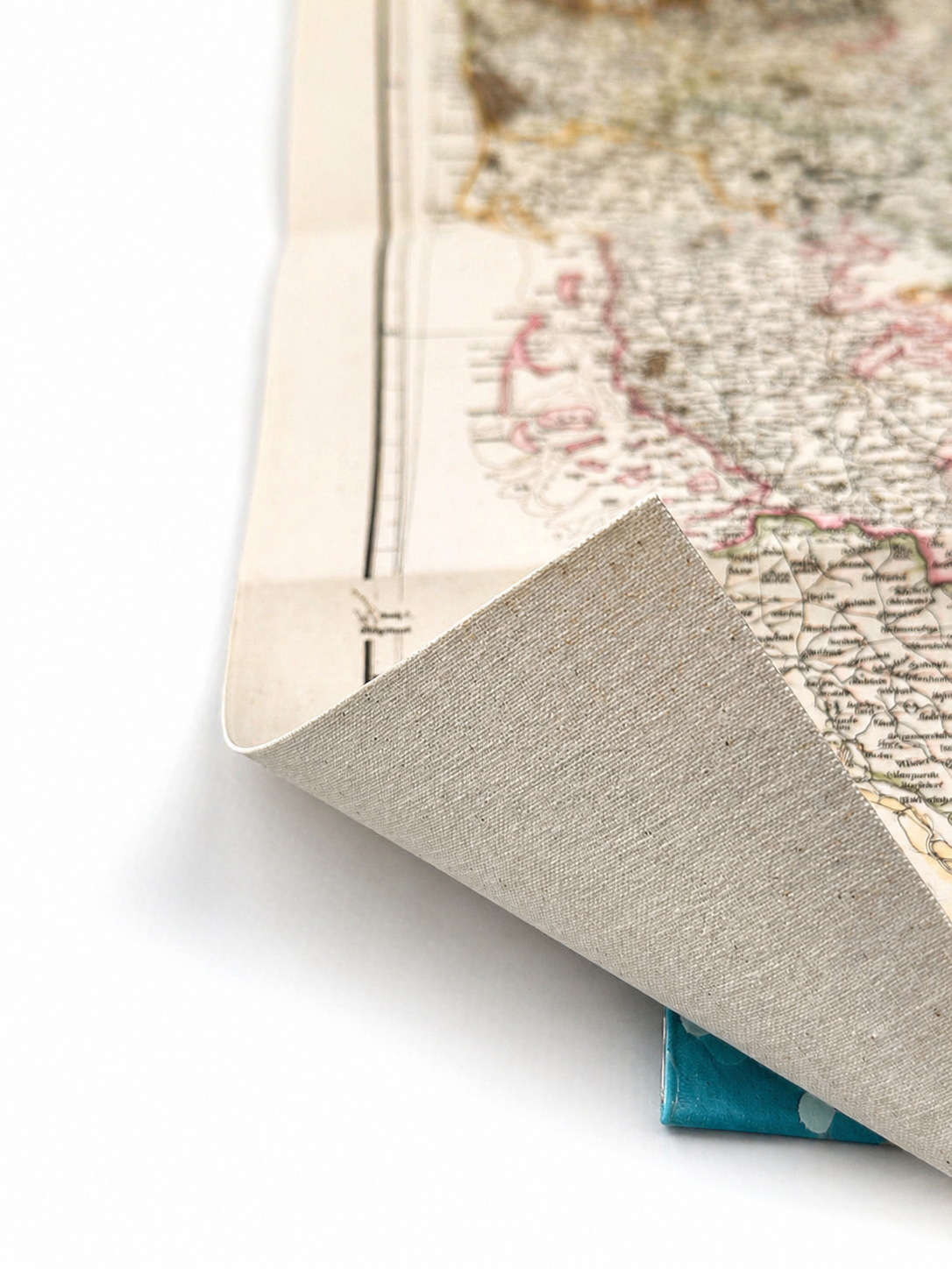 Image 4 of 4
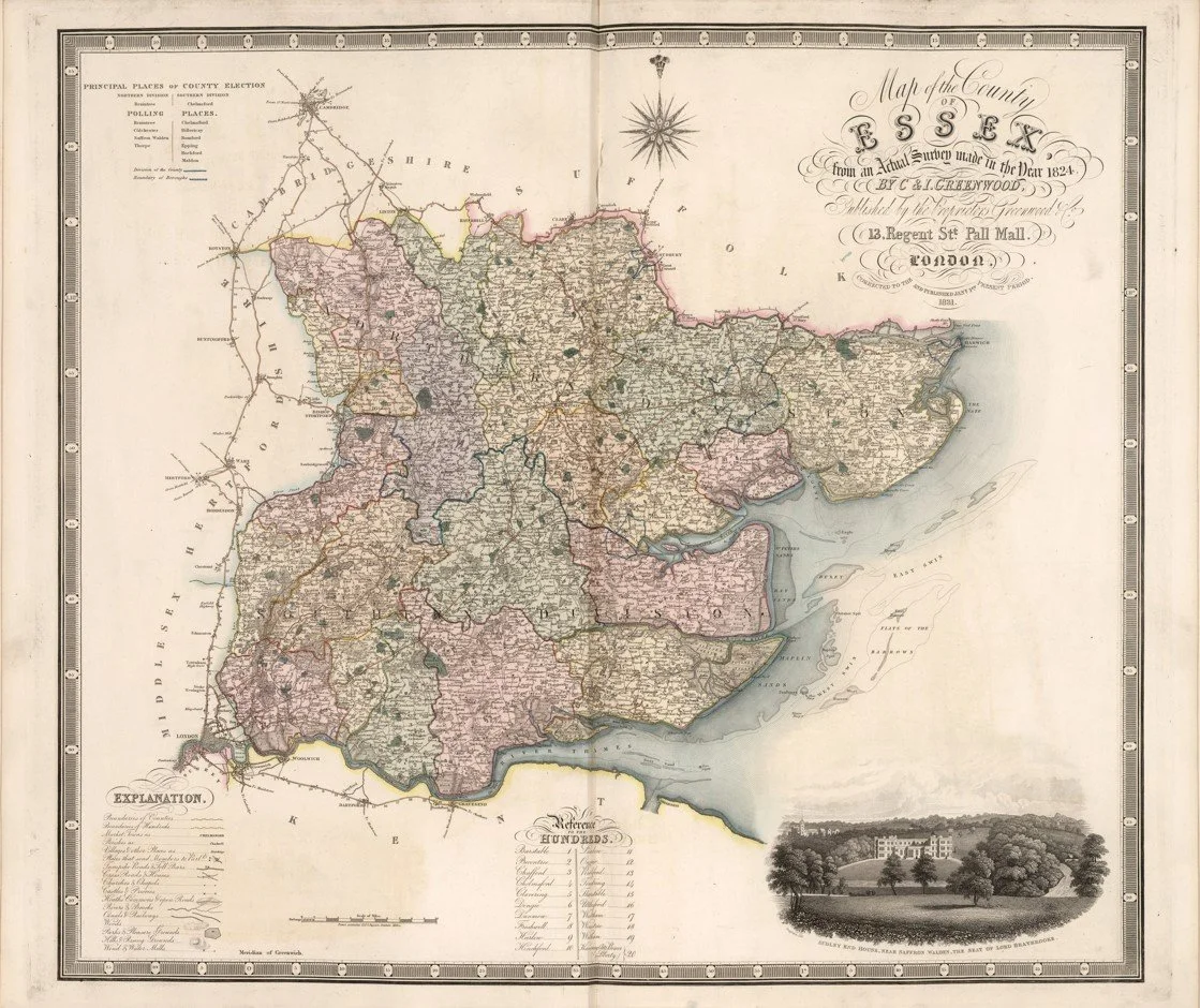
This finely detailed map of Essex was created by cartographers Christopher Greenwood and John Greenwood, and published in 1831 by Greenwood & Co.. Renowned for their exceptional county surveys, the Greenwood brothers produced some of the most accurate and decorative maps of early 19th-century England, with this piece showcasing Essex’s towns, villages, road networks, hundreds, and surrounding coastline in remarkable detail. Elegant hand-engraved borders and clear typography make it both historically significant and visually striking.
Each map is hand-laid on linen, enhancing durability and preserving colour over time. The linen backing also allows you to iron the reverse to remove folds and creases.
Supplied folded in a labelled, decorative package as shown in images. (Design of packaging may vary)
Only Available in one size
36 × 44cm