
 Image 1 of 4
 Image 2 of 4
 Image 3 of 4
 Image 4 of 4
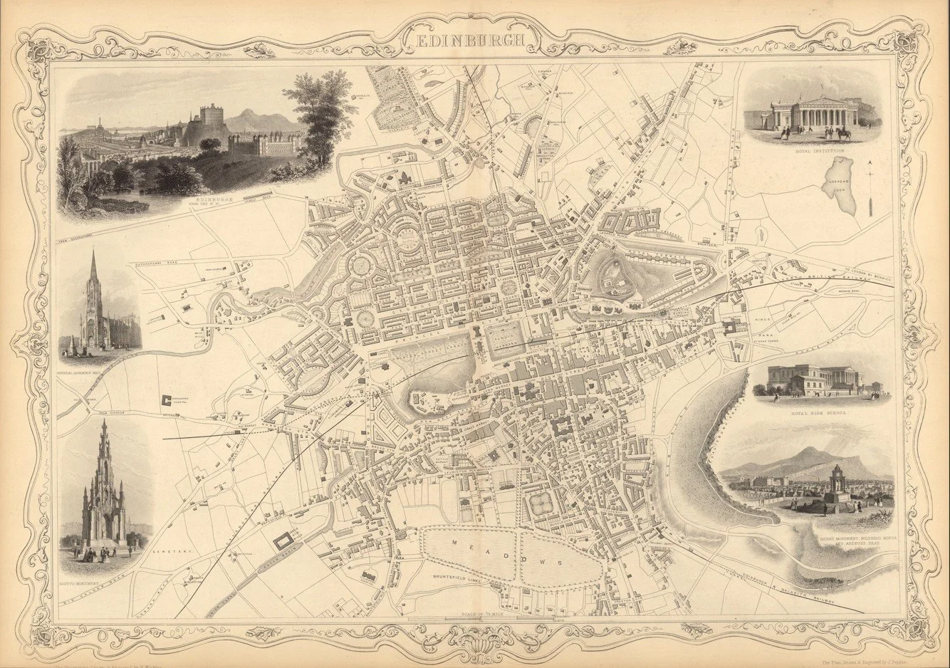
A detailed mid-19th century map of Edinburgh showing the city, streets, districts, and surrounding landscape in finely engraved detail. Produced by John Rapkin and published by John Tallis & Company in the Illustrated Atlas (c.1851). The map is surrounded by decorative vignette illustrations of key landmarks and scenes of Edinburgh, characteristic of the Tallis atlas style.
Each map is hand-laid on linen, enhancing durability and preserving colour over time. The linen backing also allows you to iron the reverse to remove folds and creases.
Supplied folded in a labelled, decorative package as shown in images. (Design of packaging may vary)
Only Available in one size
35 × 48cm