
 Image 1 of 4
 Image 2 of 4
 Image 3 of 4
 Image 4 of 4
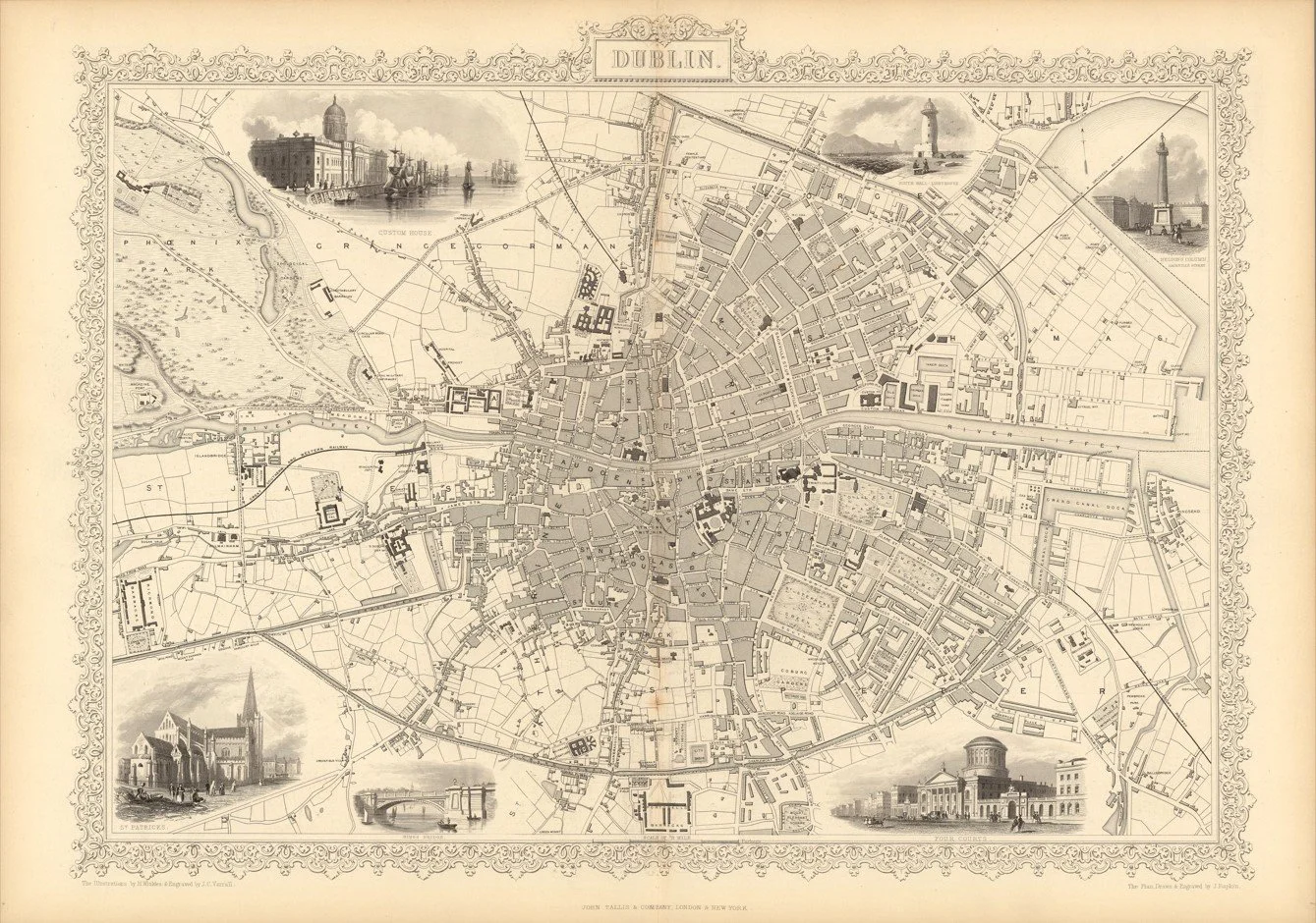
A detailed mid-19th century map of Dublin showing the city, River Liffey, streets, docks, and surrounding districts in fine engraved detail. Produced by John Rapkin and published by John Tallis & Company in the Illustrated Atlas (c.1851). The map is bordered with decorative engraved vignettes depicting important buildings and scenes of Dublin, typical of the Tallis atlas style.
Each map is hand-laid on linen, enhancing durability and preserving colour over time. The linen backing also allows you to iron the reverse to remove folds and creases.
Supplied folded in a labelled, decorative package as shown in images. (Design of packaging may vary)
Only Available in one size
48 × 35cm