
 Image 1 of 4
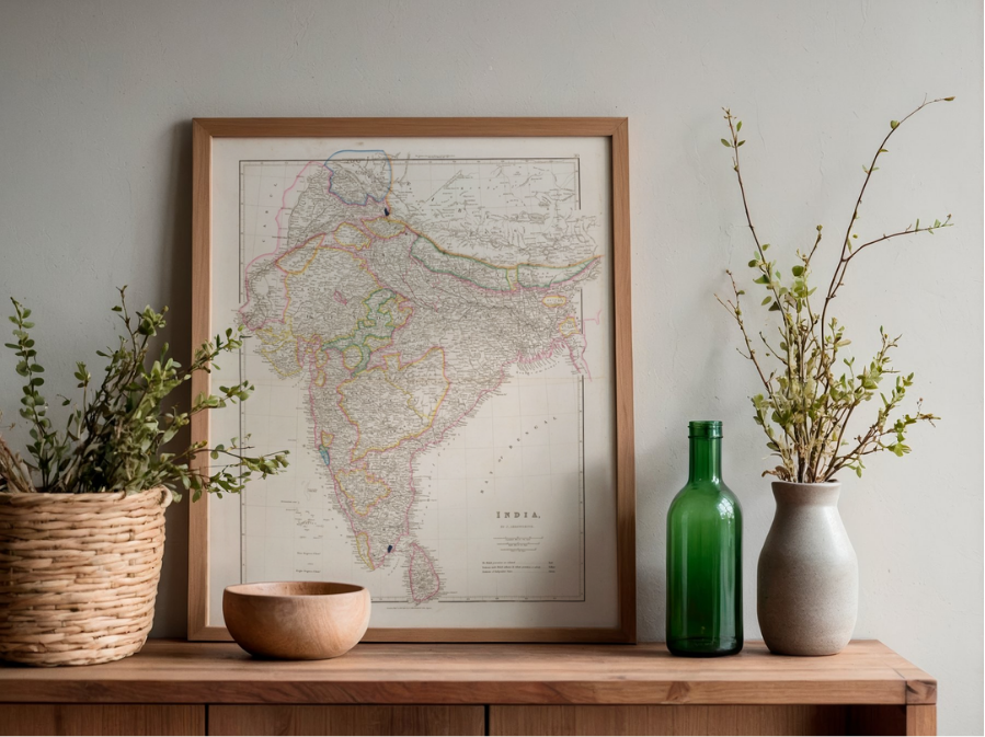 Image 2 of 4
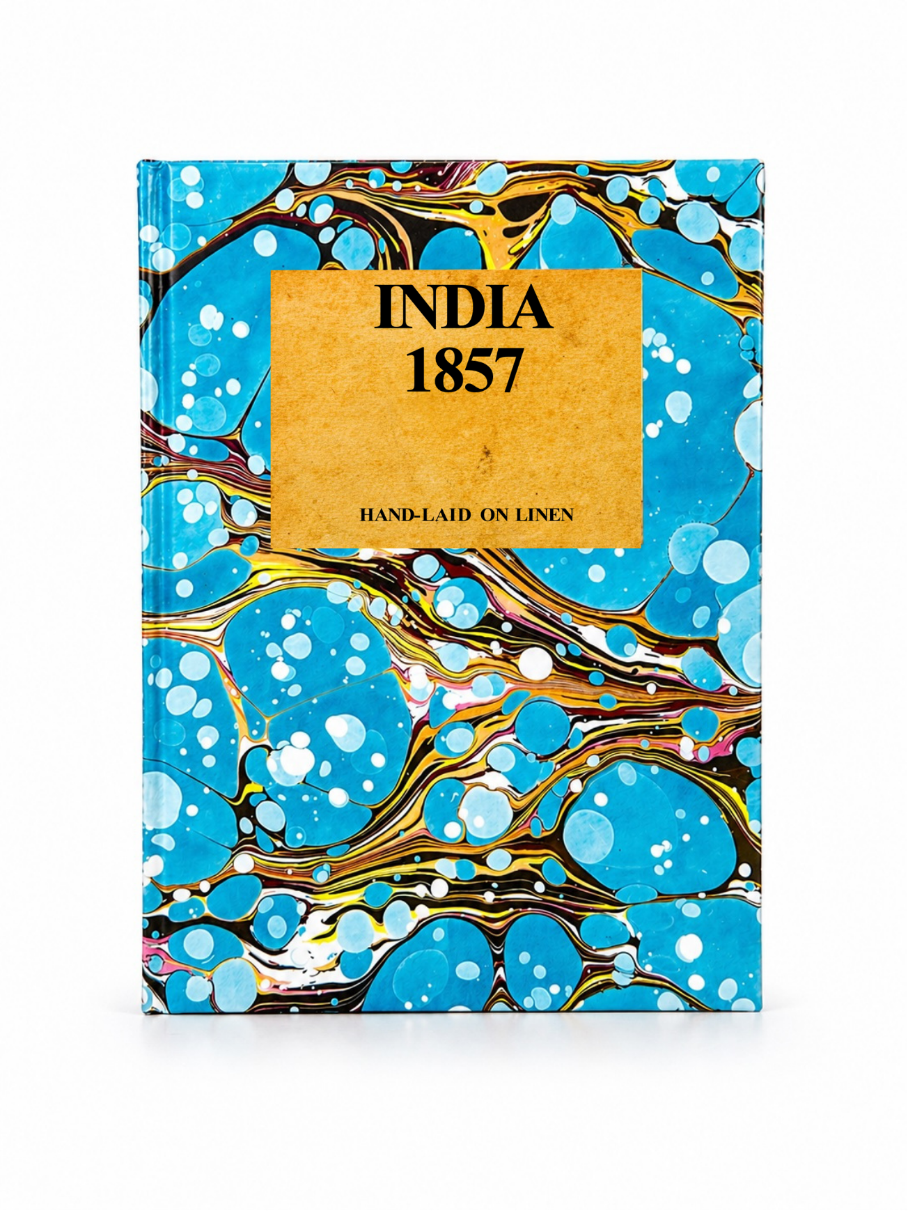 Image 3 of 4
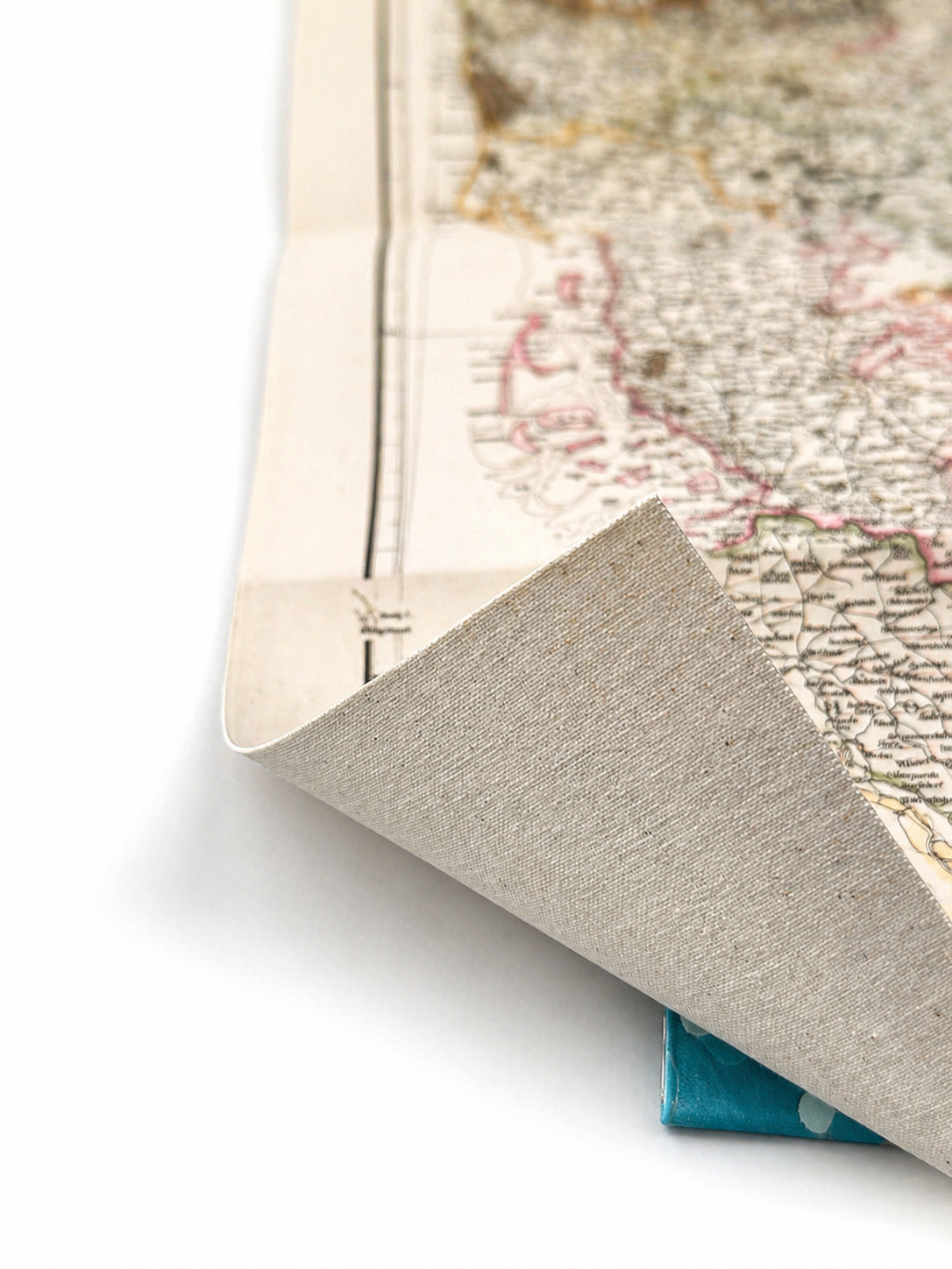 Image 4 of 4
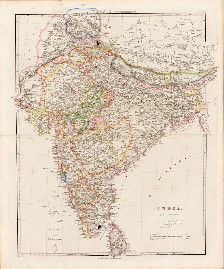
This finely detailed map of India was engraved by John Arrowsmith and published in London in 1857, capturing the Indian subcontinent during a pivotal moment in its colonial history. The map carefully charts regional boundaries, principal cities, rivers, mountain ranges and transport routes, reflecting Arrowsmith’s renowned precision and the high standards of mid-19th century British cartography. Produced at the height of imperial survey mapping, it offers both historical significance and striking decorative appeal, making it an exceptional representation of the geography and political landscape of the period.
Each map is hand-laid on linen, enhancing durability and preserving colour over time. The linen backing also allows you to iron the reverse to remove folds and creases.
Supplied folded in a labelled, decorative package as shown in images. (Design of packaging may vary)
Available in one size
47cm x 38cm