
 Image 1 of 4
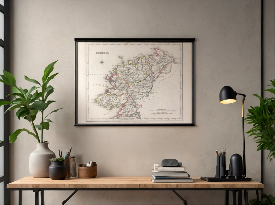 Image 2 of 4
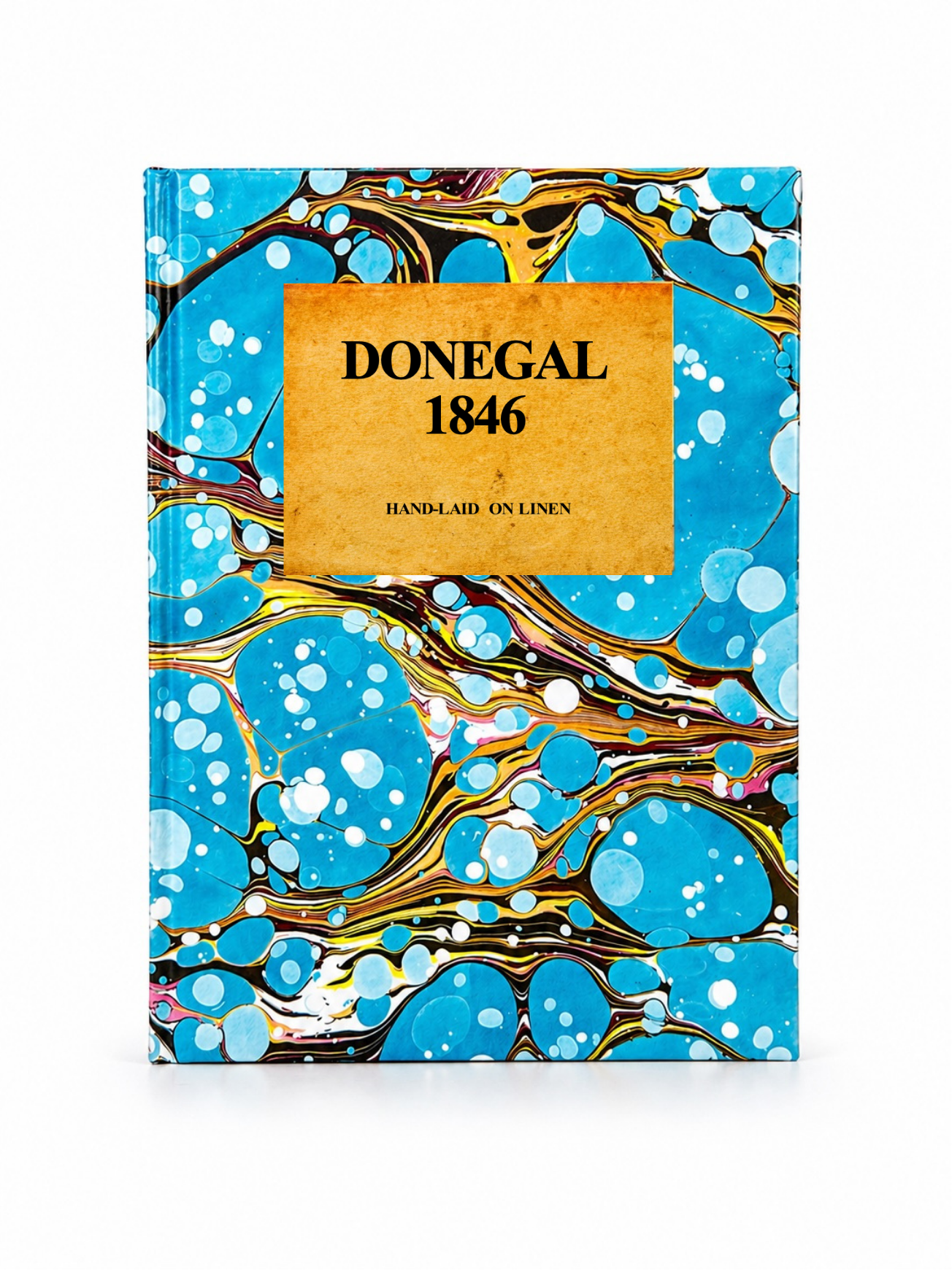 Image 3 of 4
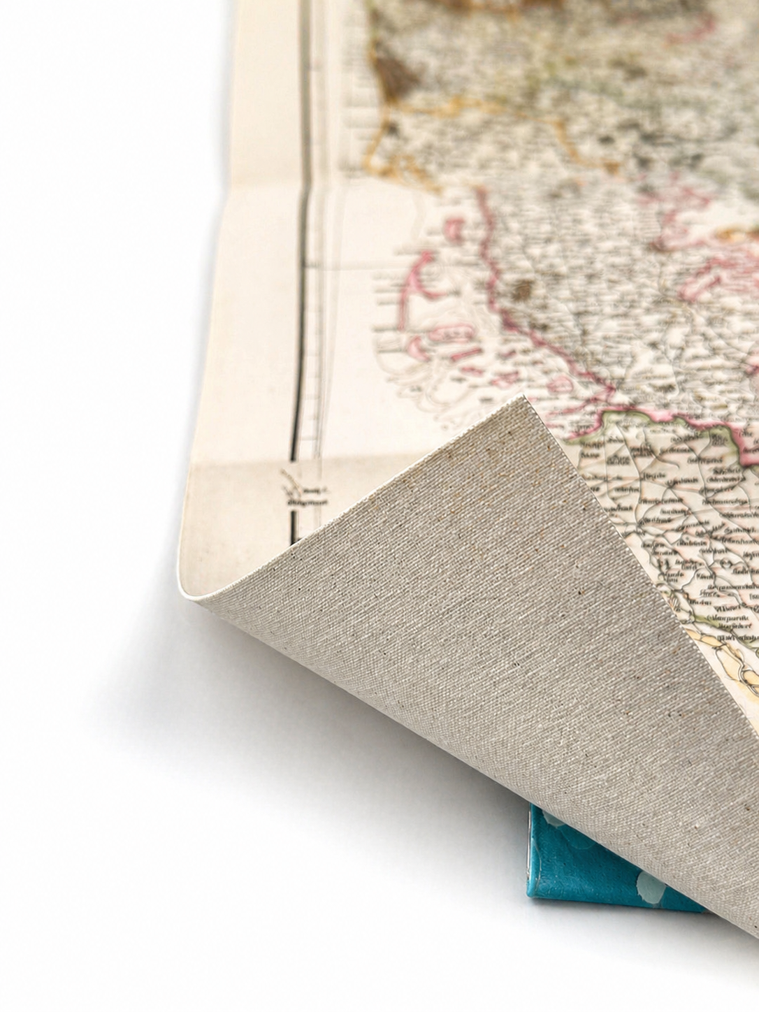 Image 4 of 4
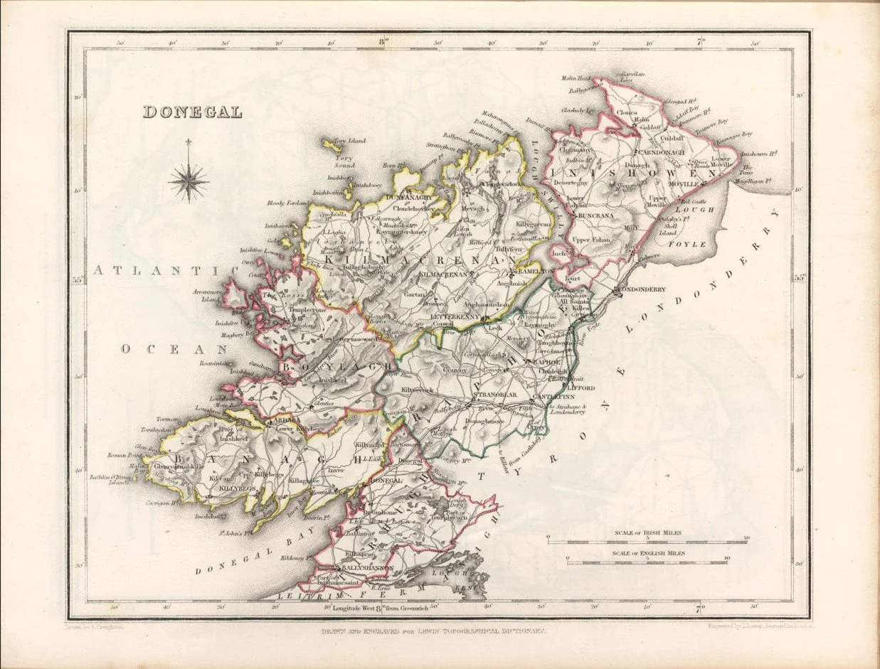
A beautifully detailed 1846 map of County Donegal, drawn by R. Creighton and engraved by I. Dower for Samuel Lewis’s Topographical Dictionary of Ireland. It shows Donegal’s historic six baronies, alongside towns, villages, roads, rivers, lakes, mountains and coastline.
Look closely for Letterkenny, Donegal, Ballyshannon, Lifford, Buncrana, Moville and Killybegs, as well as Lough Swilly, Lough Foyle, Donegal Bay, Errigal and Slieve League. A fascinating snapshot of Donegal’s landscape and settlements before the major changes of the later 19th century.
Each map is hand-laid on linen, enhancing durability and preserving colour over time. The linen backing also allows you to iron the reverse to remove folds and creases.
Supplied folded in a labelled, decorative package as shown in images. (Design of packaging may vary)
Available in one size
35cm x 45cm