
 Image 1 of 4
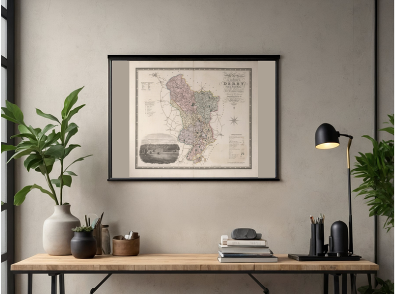 Image 2 of 4
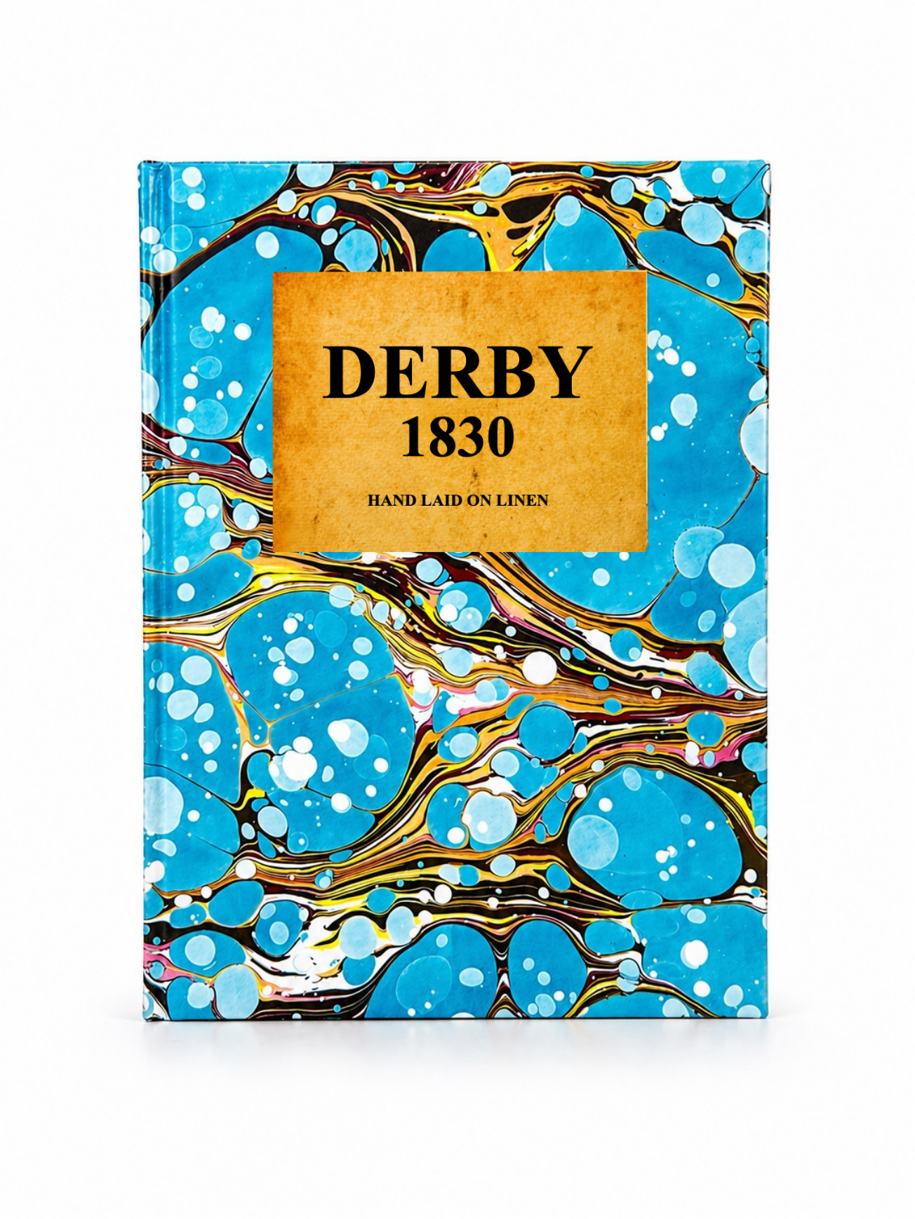 Image 3 of 4
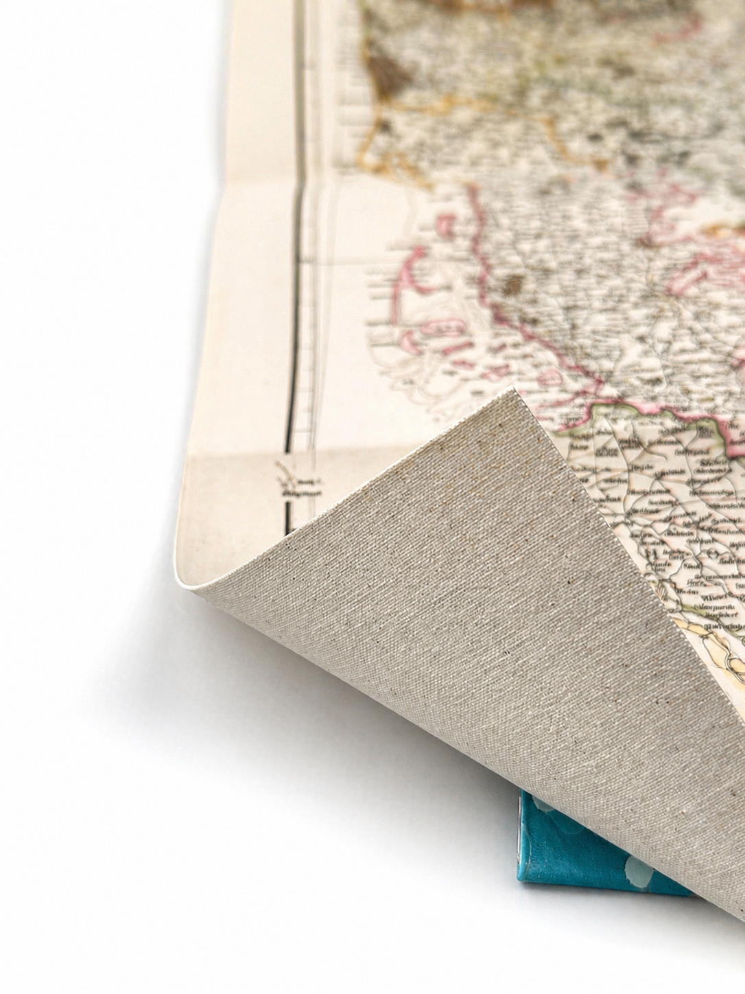 Image 4 of 4
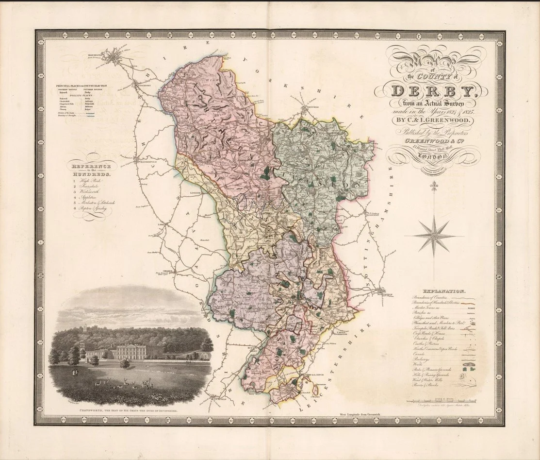
A detailed early 19th-century map of Derby and the surrounding area, showing towns, villages, roads, rivers, and estates. Produced by Christopher Greenwood and John Greenwood, and published as part of their county maps of England and Wales in the early 1830s.
Each map is hand-laid on linen, enhancing durability and preserving colour over time. The linen backing also allows you to iron the reverse to remove folds and creases.
Supplied folded in a labelled, decorative package as shown in images. (Design of packaging may vary)
Only Available in one size
36 × 44cm