
 Image 1 of 4
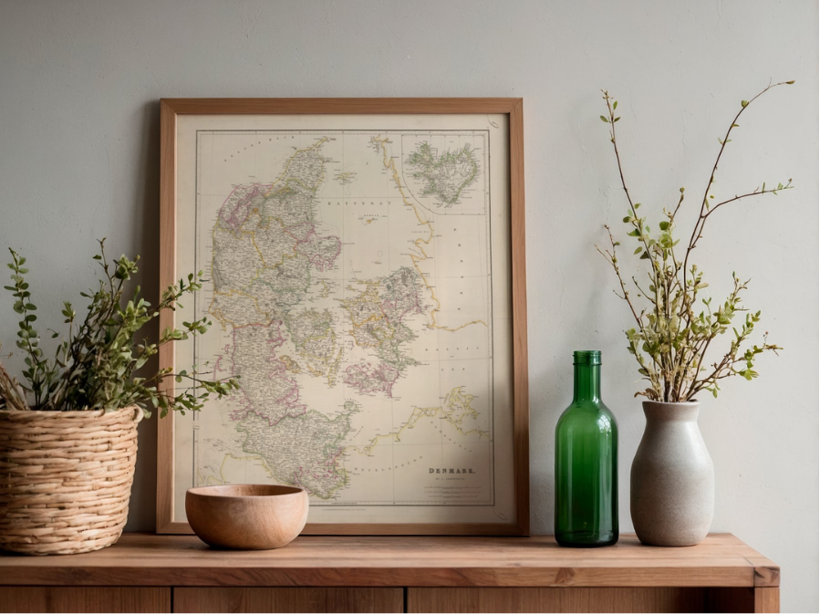 Image 2 of 4
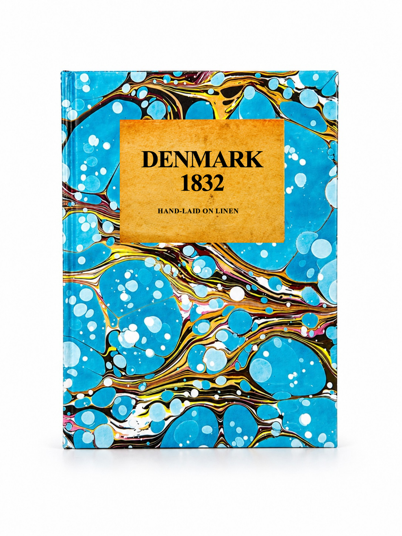 Image 3 of 4
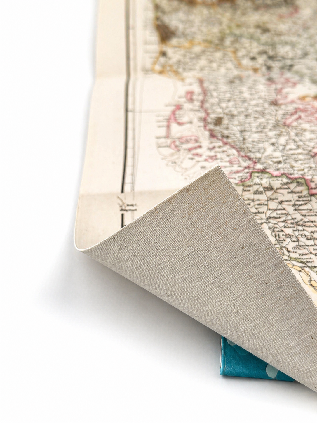 Image 4 of 4
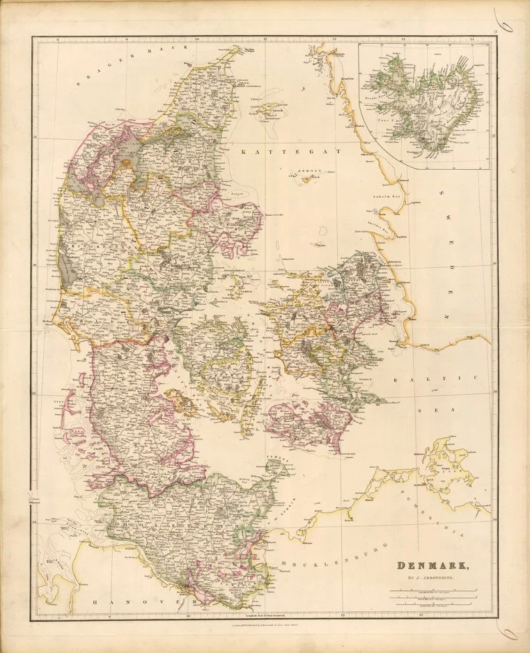
A finely engraved early 19th-century map of Denmark, showing the kingdom with counties, towns, road networks, and coastal detail. The map often includes an inset of Iceland and uses detailed hachured shading to represent relief, characteristic of Arrowsmith’s precise surveying style.
Cartographer: John Arrowsmith (1790–1873), English cartographer and engraver
Published: London Atlas of Universal Geography, circa 1832–1834 edition
Each map is hand-laid on linen, enhancing durability and preserving colour over time. The linen backing also allows you to iron the reverse to remove folds and creases.
Supplied folded in a labelled, decorative package as shown in images. (Design of packaging may vary)
Only Available in one size
48 × 38cm