
 Image 1 of 4
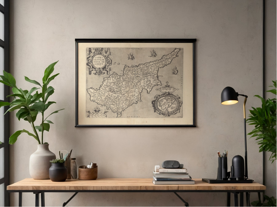 Image 2 of 4
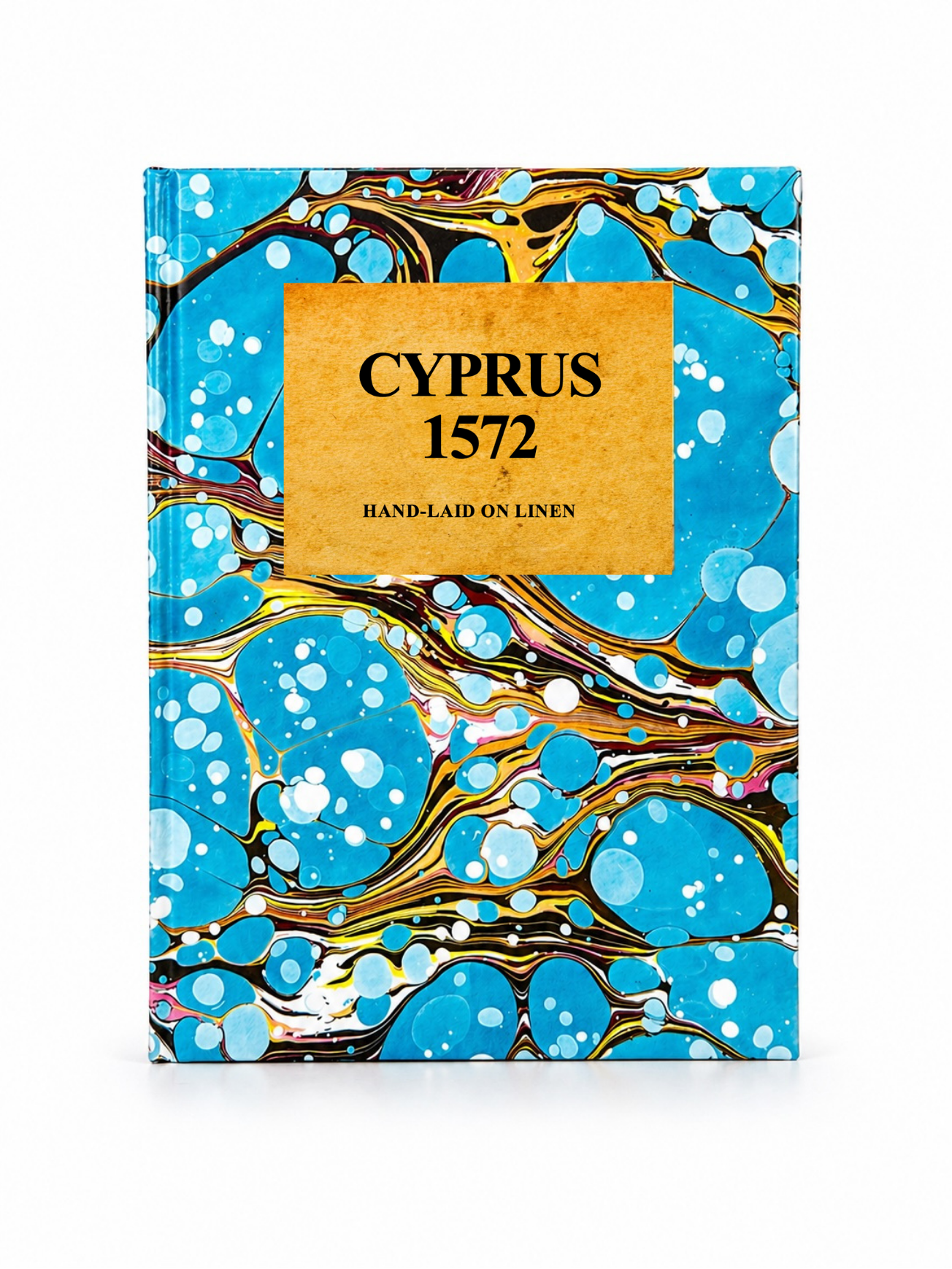 Image 3 of 4
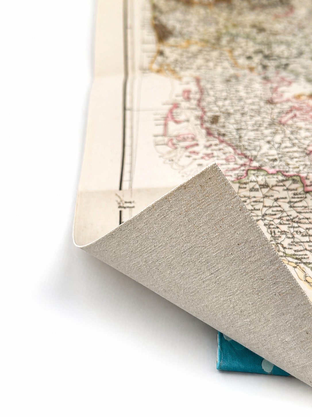 Image 4 of 4
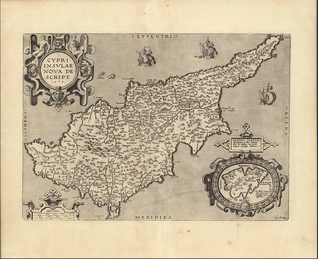
A finely engraved 16th-century map of Cyprus titled “Cypri Insulae Nova Descript.”, showing the island in early Renaissance style with stylised coastlines, mountains, and surrounding Mediterranean waters, typical of decorative atlas maps of the period. This map is associated with Abraham Ortelius (1527–1598) and the Antwerp engraving tradition, published in Theatrum Orbis Terrarum (late 16th century editions).
Each map is hand-laid on linen, enhancing durability and preserving colour over time. The linen backing also allows you to iron the reverse to remove folds and creases.
Supplied folded in a labelled, decorative package as shown in images. (Design of packaging may vary)
Only Available in one size
38 × 48cm