
 Image 1 of 4
 Image 2 of 4
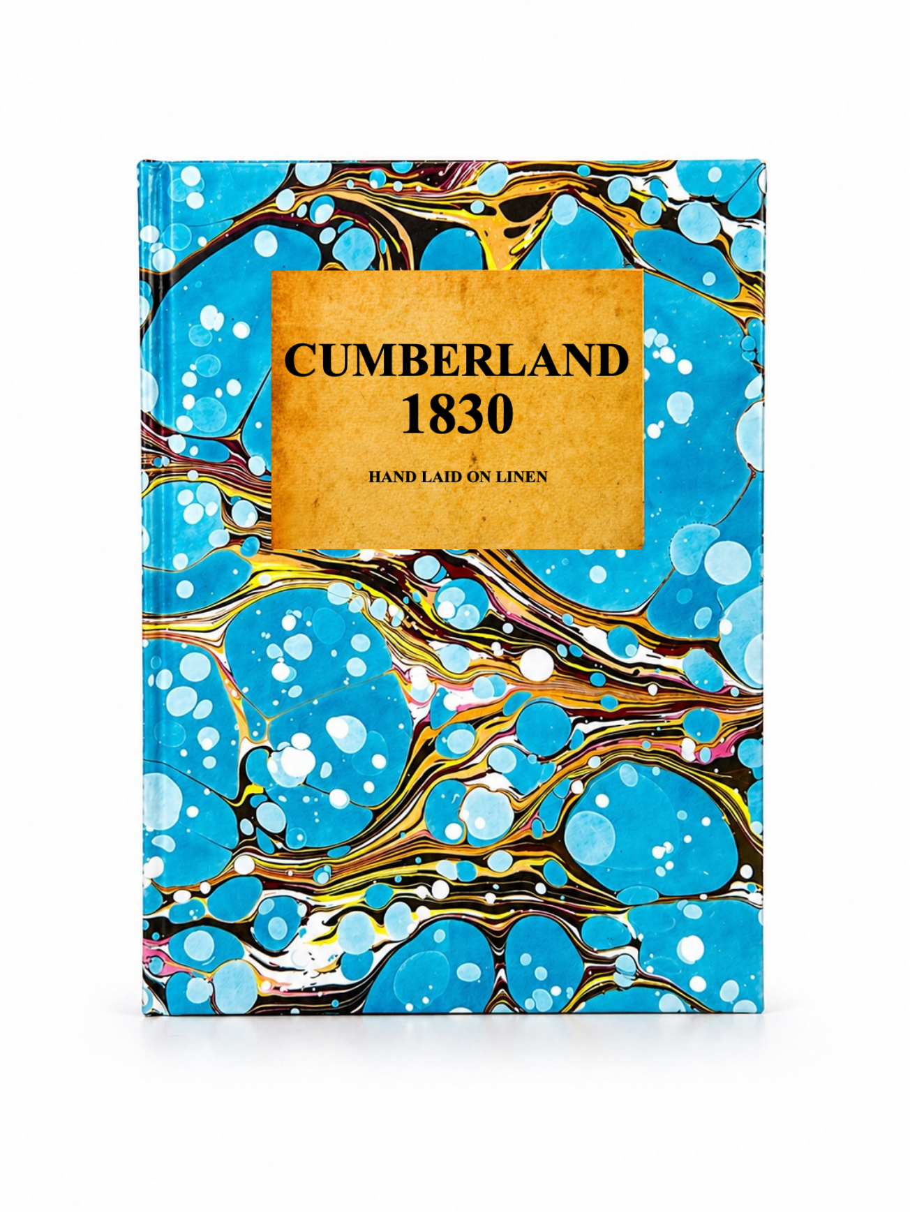 Image 3 of 4
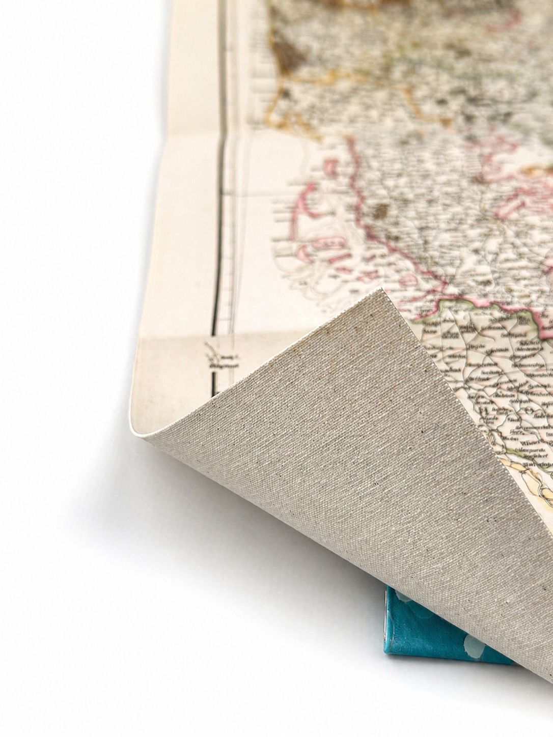 Image 4 of 4
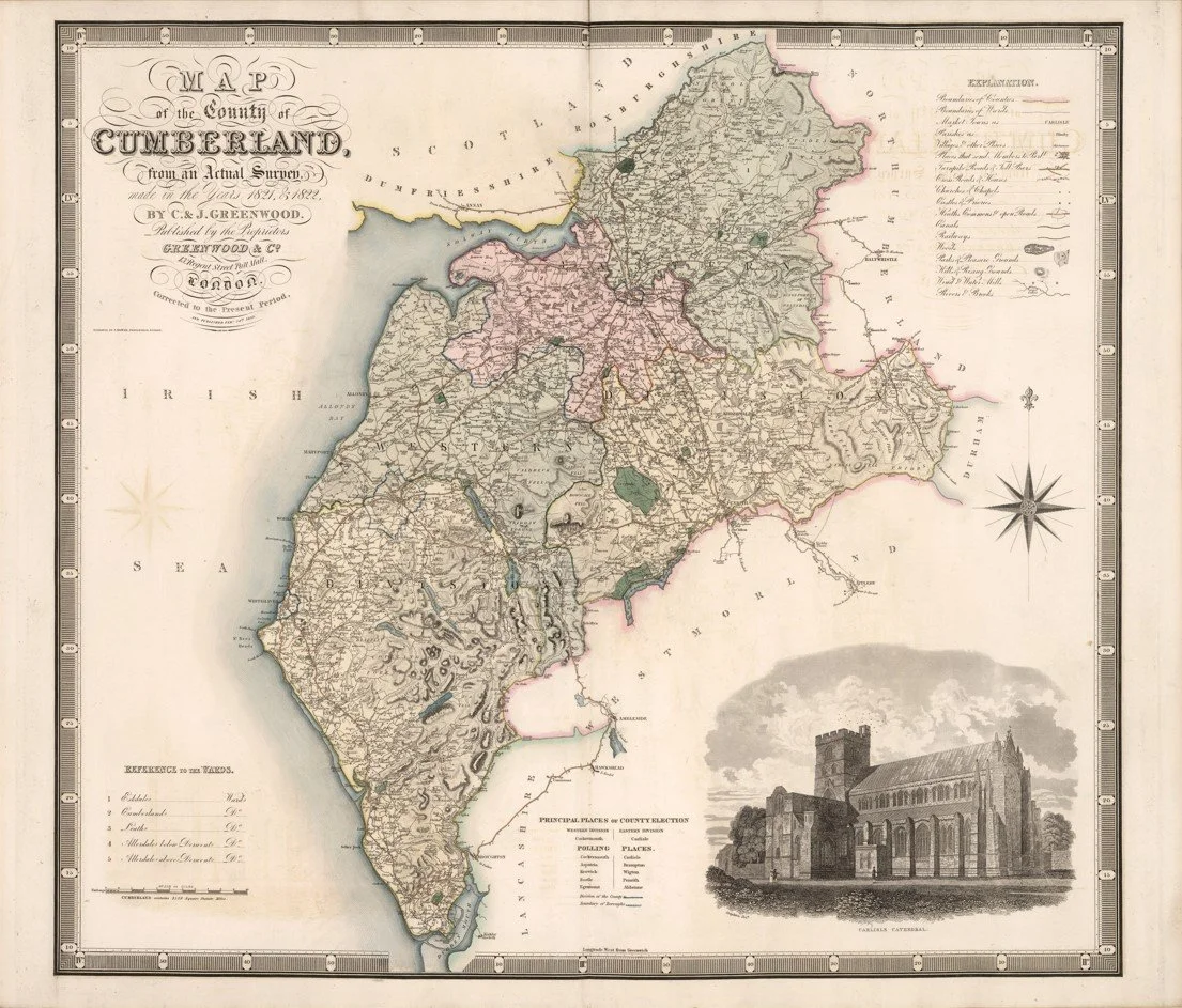
A finely detailed early 19th-century map of Cumberland, surveyed and engraved by Christopher Greenwood and John Greenwood and published in 1830. The map presents the county with exceptional precision, showing towns, villages, roads, rivers, estates, and topographical features, reflecting the landscape of Cumberland in the late Georgian period.
Each map is hand-laid on linen, enhancing durability and preserving colour over time. The linen backing also allows you to iron the reverse to remove folds and creases.
Supplied folded in a labelled, decorative package as shown in images. (Design of packaging may vary)
Only Available in one size
36 × 44cm