
 Image 1 of 4
 Image 2 of 4
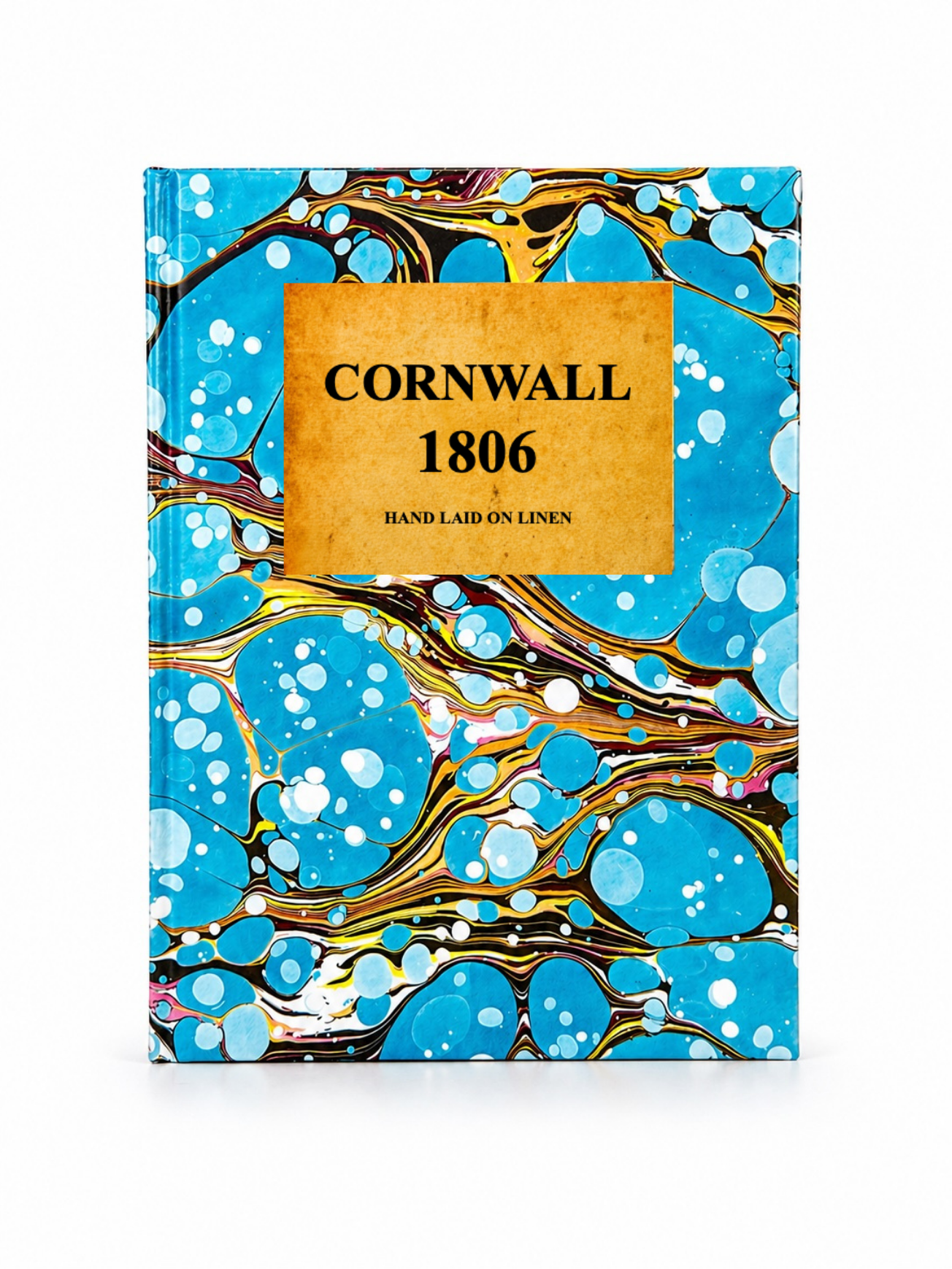 Image 3 of 4
 Image 4 of 4
A highly detailed early 19th century map of Cornwall, engraved by John Cary and published in 1806 as part of Cary’s New English Atlas. The map shows Cornwall divided into hundreds, with clearly marked roads, rivers, towns, market centres, and coastal features. It also includes an inset of the Isles of Scilly and decorative cartographic detail typical of Cary’s precision engraving style.
Each map is hand-laid on linen, enhancing durability and preserving colour over time. The linen backing also allows you to iron the reverse to remove folds and creases.
Supplied folded in a labelled, decorative package as shown in images. (Design of packaging may vary)
Only Available in one size
38 × 45cm