
 Image 1 of 4
 Image 2 of 4
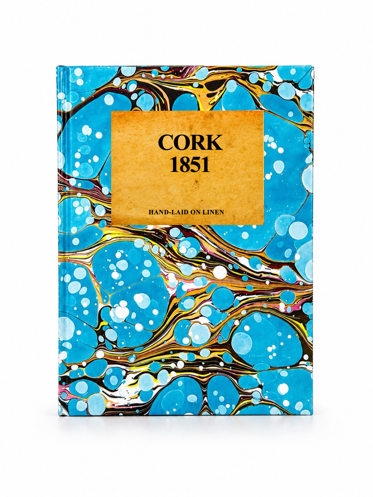 Image 3 of 4
 Image 4 of 4
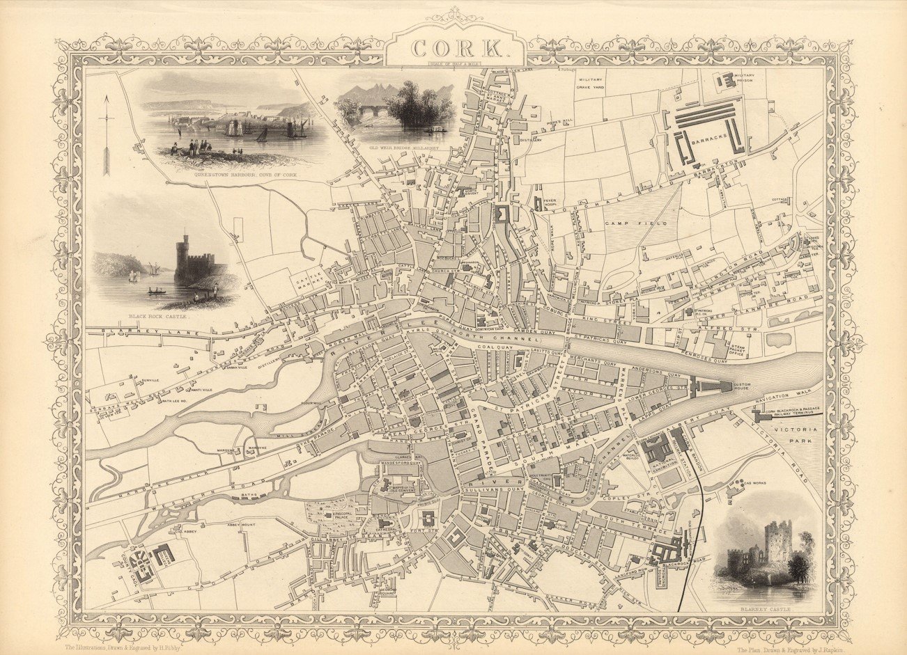
A finely detailed mid-19th century decorative map of Cork, Ireland, engraved by John Rapkin and published in John Tallis & Company’s Illustrated Atlas (c.1851). The map captures Cork during the Victorian era, showing the River Lee, historic streets, quays, and surrounding districts with exceptional engraved detail and decorative vignette borders typical of the Tallis atlas series.
Each map is hand-laid on linen, enhancing durability and preserving colour over time. The linen backing also allows you to iron the reverse to remove folds and creases.
Supplied folded in a labelled, decorative package as shown in images. (Design of packaging may vary)
Only Available in one size
35 × 48cm