
 Image 1 of 4
 Image 2 of 4
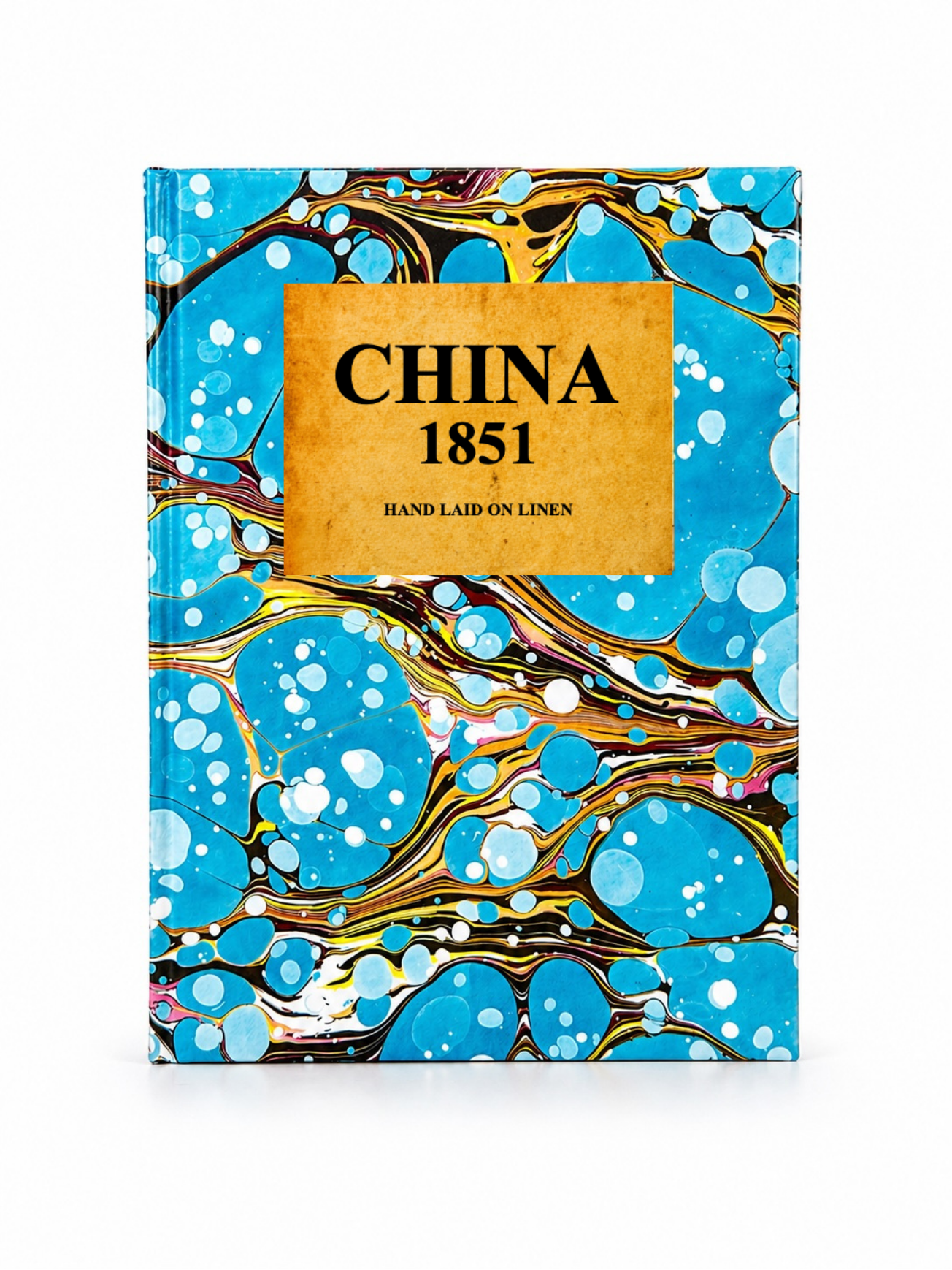 Image 3 of 4
 Image 4 of 4
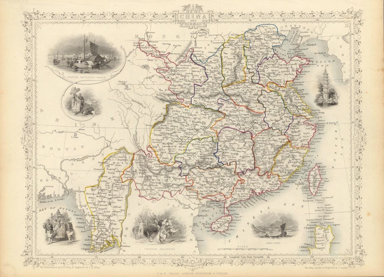
A finely engraved mid-19th century decorative map of China, published circa 1851 as part of John Tallis’s Illustrated Atlas. Drawn and engraved by John Rapkin, it depicts Imperial China along with surrounding regions such as Tibet, Burma, and Formosa (Taiwan), with detailed provincial boundaries, major cities, rivers, and trade routes.
Each map is hand-laid on linen, enhancing durability and preserving colour over time. The linen backing also allows you to iron the reverse to remove folds and creases.
Supplied folded in a labelled, decorative package as shown in images. (Design of packaging may vary)
Only Available in one size
35 × 49cm