
 Image 1 of 4
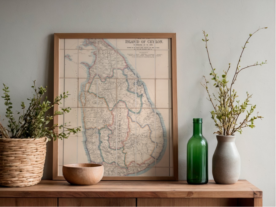 Image 2 of 4
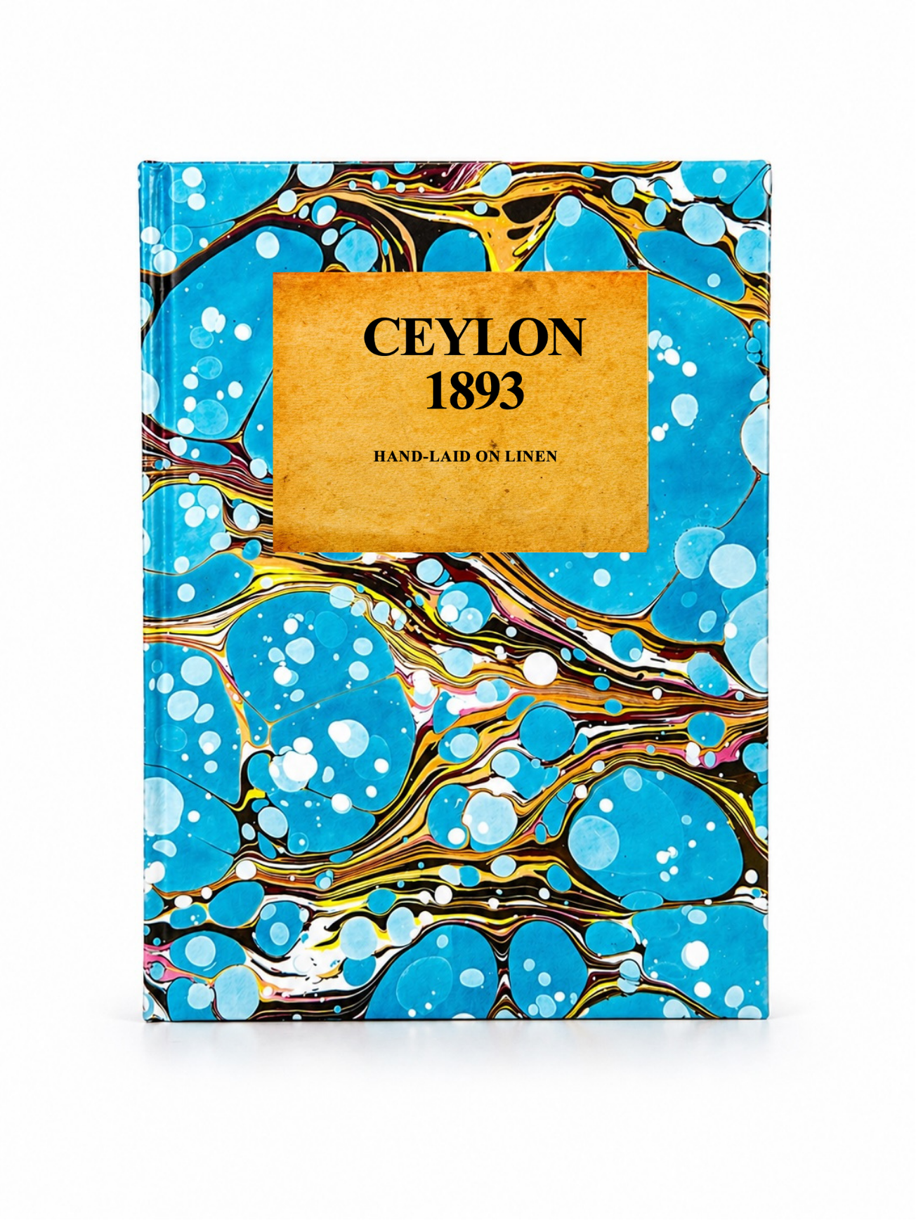 Image 3 of 4
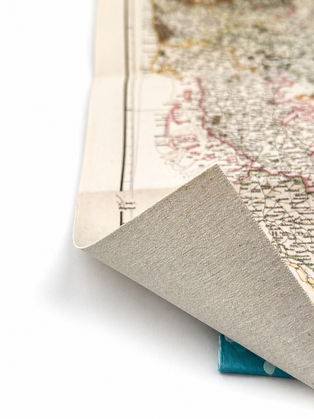 Image 4 of 4
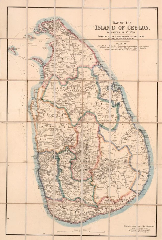
A detailed late-Victorian map of colonial Ceylon, showing provincial boundaries, principal towns, railways, roads, and telegraph routes. Corrected to 1893, it offers a fascinating snapshot of Sri Lanka during a period of rapid colonial development, with Colombo firmly established as the island’s commercial centre.
Each map is hand-laid on linen, enhancing durability and preserving colour over time. The linen backing also allows you to iron the reverse to remove folds and creases.
Supplied folded in a labelled, decorative package as shown in images. (Design of packaging may vary)
Only Available in one size
48 × 35cm