
 Image 1 of 4
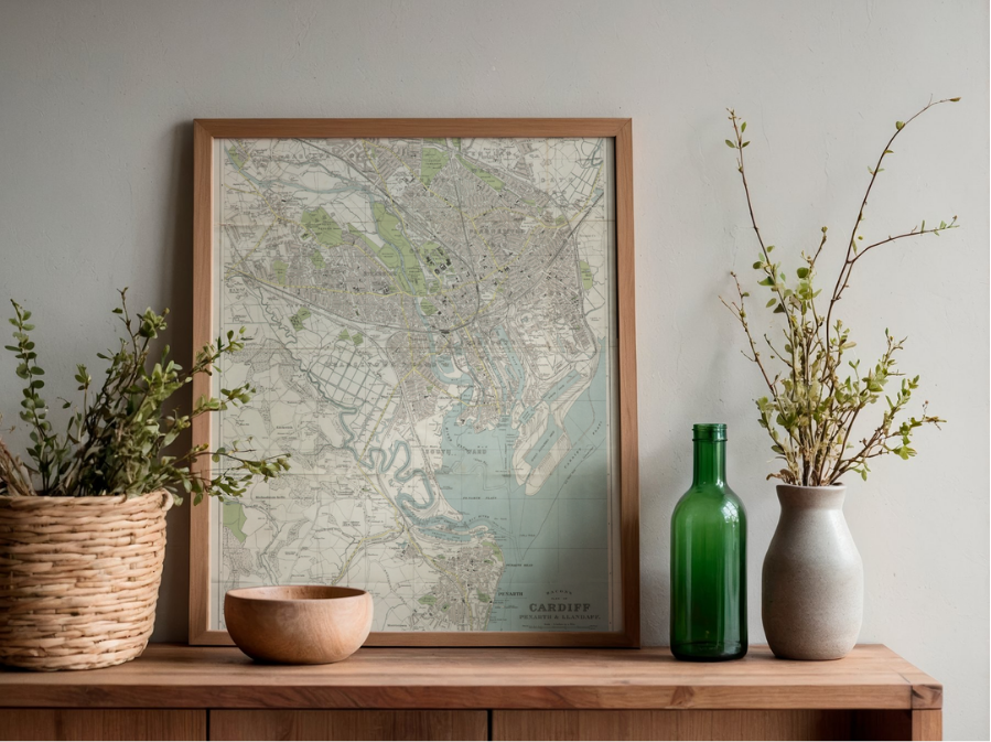 Image 2 of 4
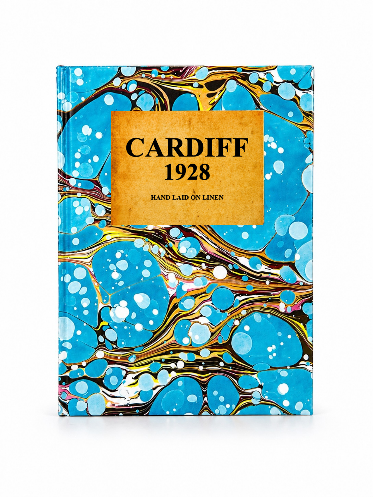 Image 3 of 4
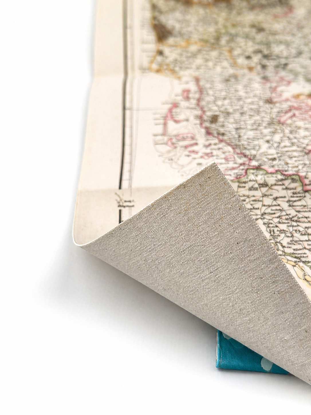 Image 4 of 4
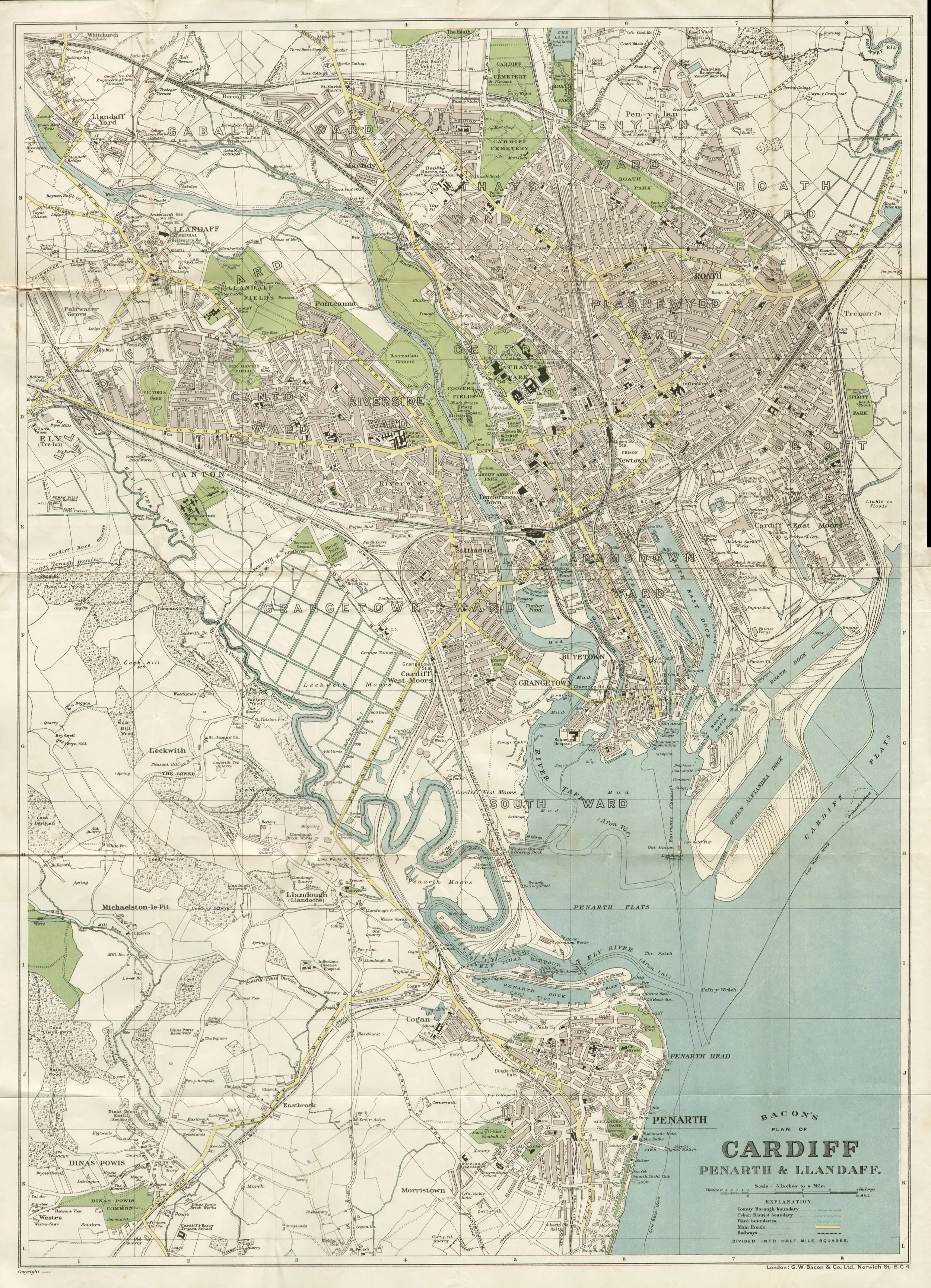
Published in 1928 by G.W. Bacon & Co., this detailed street plan of Cardiff shows the city alongside Penarth and Llandaff during the interwar period. It captures roads, railways, and key landmarks with the precision typical of Bacon’s urban mapping.
Each map is hand-laid on linen, enhancing durability and preserving colour over time. The linen backing also allows you to iron the reverse to remove folds and creases.
Supplied folded in a labelled, decorative package as shown in images. (Design of packaging may vary)
Only Available in one size
48 × 34cm