
 Image 1 of 4
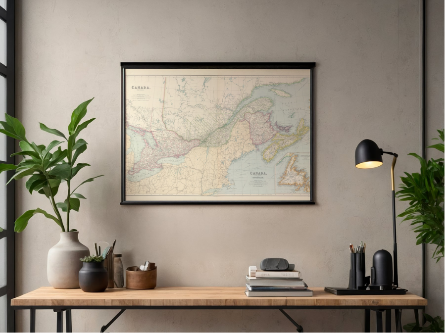 Image 2 of 4
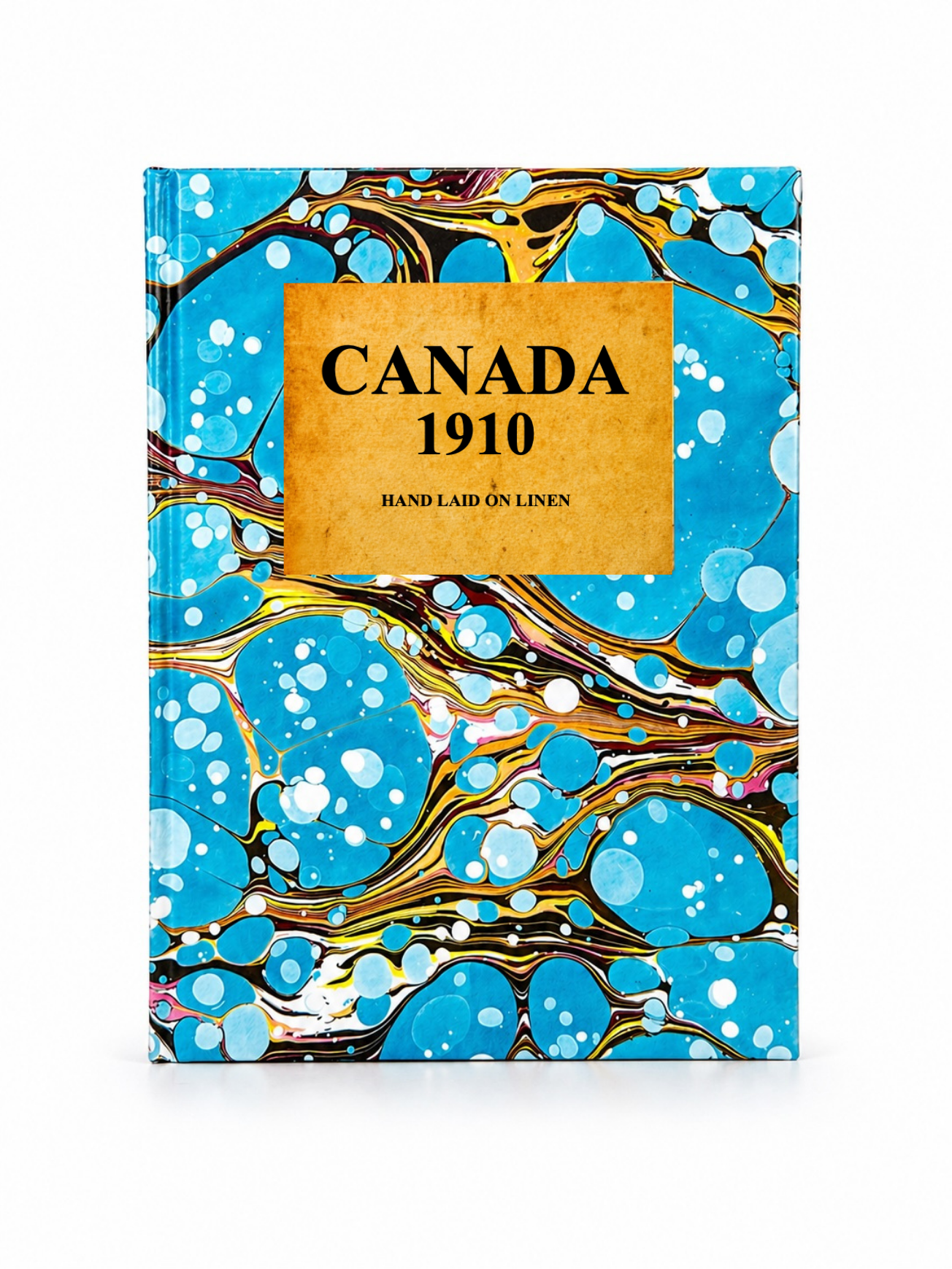 Image 3 of 4
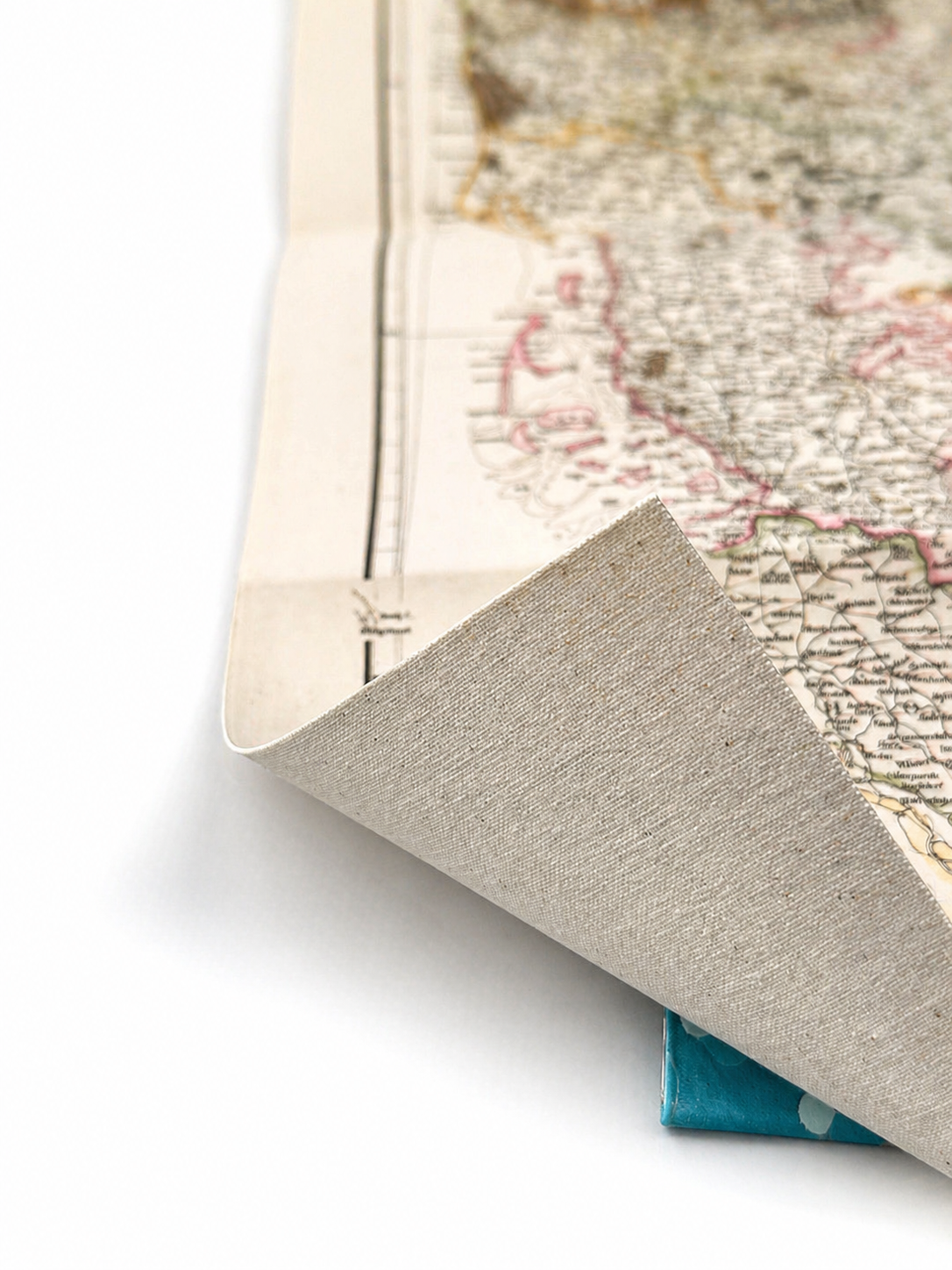 Image 4 of 4
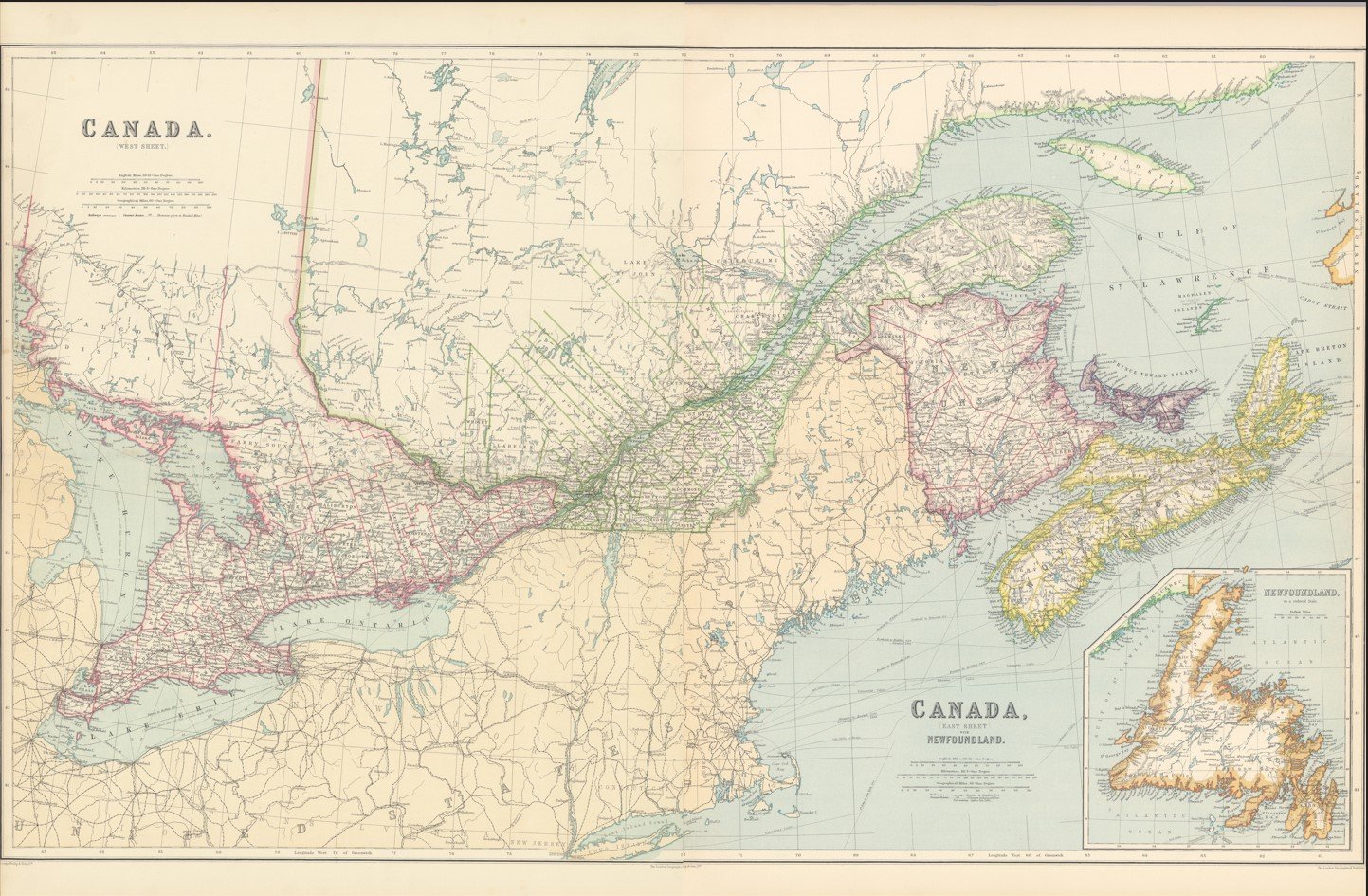
Published in 1910 by George Philip, this detailed map of Eastern Canada captures the region with the clarity and precision characteristic of early 20th-century cartography. A fine historical record of Canada’s eastern provinces during a period of rapid growth and development.
Each map is hand-laid on linen, enhancing durability and preserving colour over time. The linen backing also allows you to iron the reverse to remove folds and creases.
Supplied folded in a labelled, decorative package as shown in images. (Design of packaging may vary)
Only Available in one size
32 × 50cm