
 Image 1 of 4
 Image 2 of 4
 Image 3 of 4
 Image 4 of 4
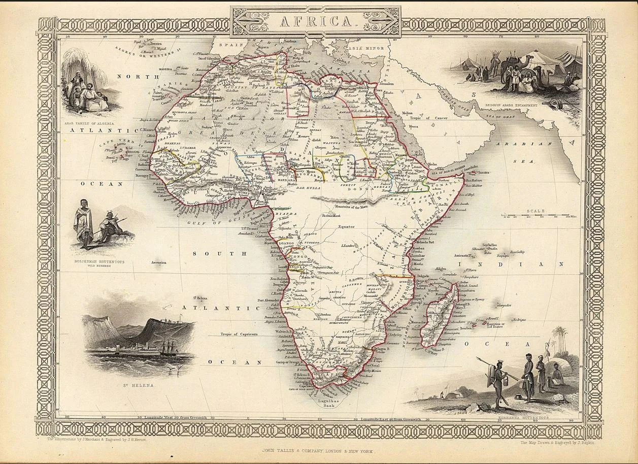
A beautifully detailed Victorian map of Africa, published by John Tallis in 1851 and drawn and engraved by John Rapkin. The map combines geographical detail with an elaborate decorative border featuring engraved scenes of Bedouin Arabs, Algerian families, African peoples and the island of St. Helena.
Particularly fascinating are the blank spaces and mythical geography of the African interior, including the legendary Mountains of the Moon and Mountains of Kong — a reminder of how much of the continent remained unknown to European cartographers in the mid-nineteenth century.
Each map is hand-laid on linen, enhancing durability and preserving colour over time. The linen backing also allows you to iron the reverse to remove folds and creases.
Supplied folded in a labelled, decorative package as shown in images. (Design of packaging may vary)
Available in one size
48 × 35cm