
 Image 1 of 4
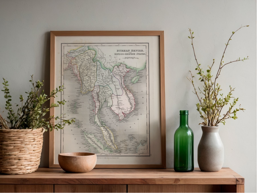 Image 2 of 4
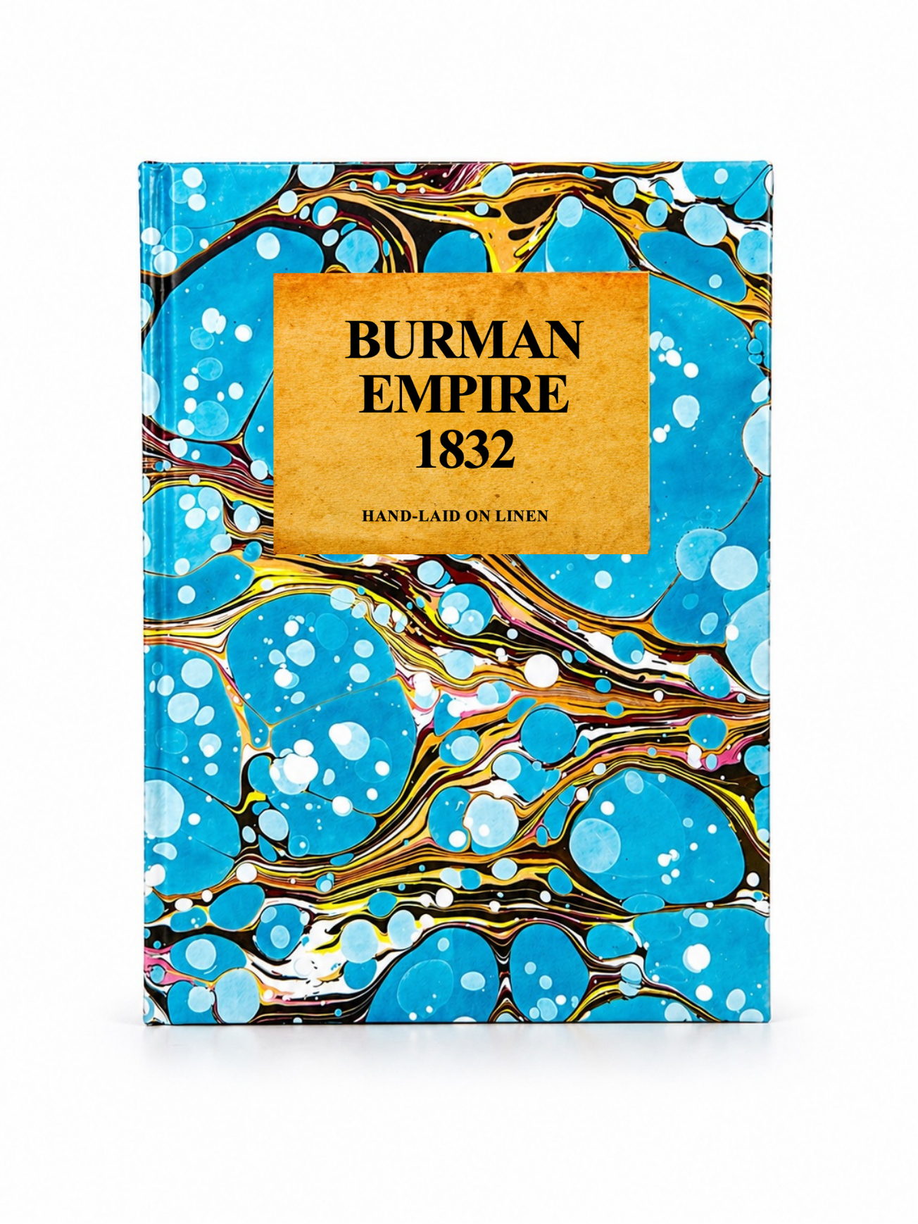 Image 3 of 4
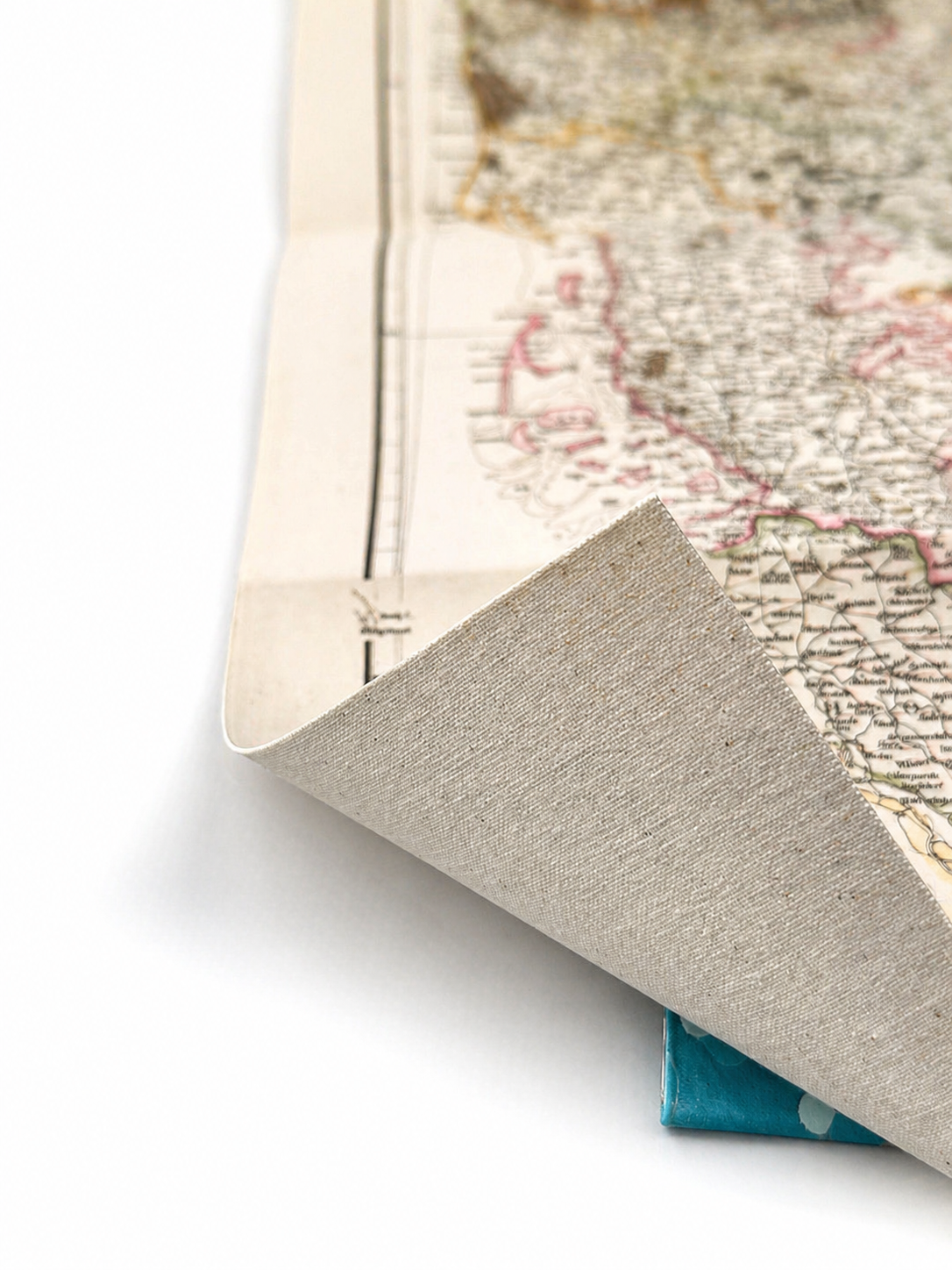 Image 4 of 4
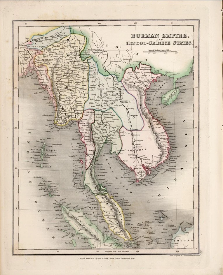
Published in 1832 by celebrated British cartographer John Dower as part of Henry Teesdale’s renowned A New General Atlas of the World, this finely engraved map depicts the Burman Empire during a pivotal period of Southeast Asian history, shortly after the First Anglo-Burmese War reshaped regional boundaries. Rich in geographical detail, it reflects the precision and elegance of early Victorian cartography while offering a fascinating glimpse into the historic landscapes of present-day Myanmar and its neighbouring territories.
Each map is hand-laid on linen, enhancing durability and preserving colour over time. The linen backing also allows you to iron the reverse to remove folds and creases.
Supplied folded in a labelled, decorative package as shown in images. (Design of packaging may vary)
Only Available in one size
48 × 35cm