
 Image 1 of 4
 Image 2 of 4
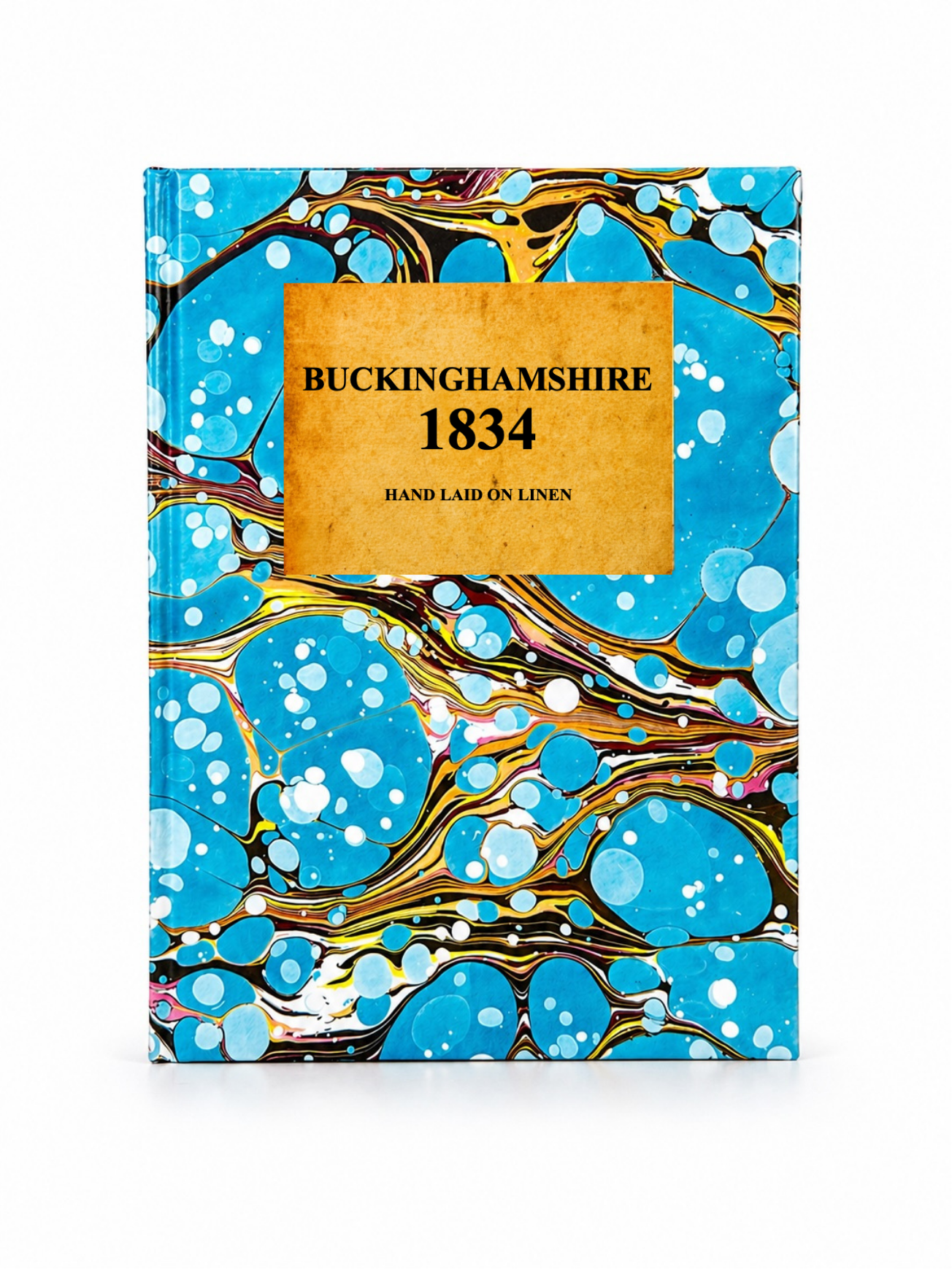 Image 3 of 4
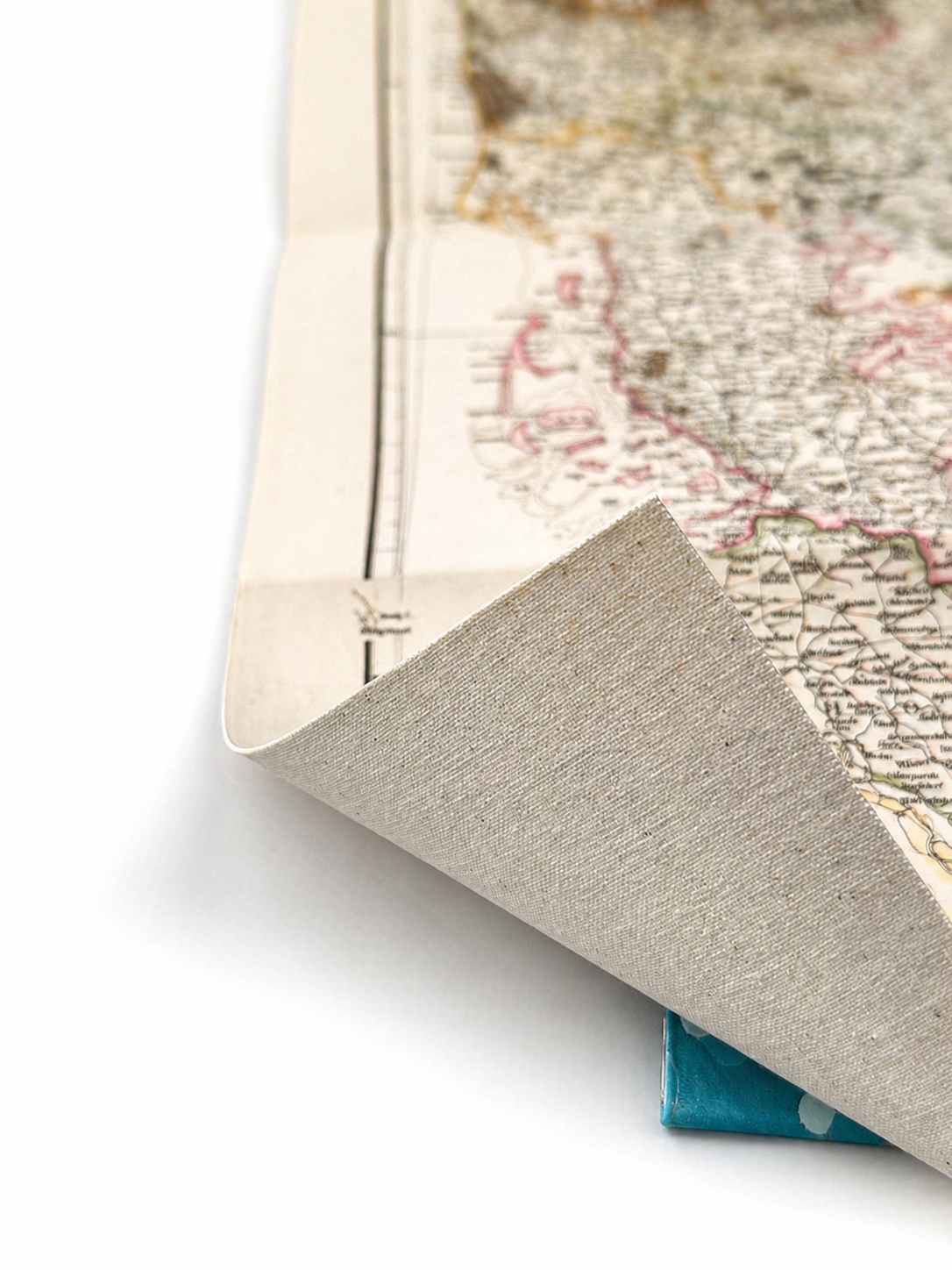 Image 4 of 4
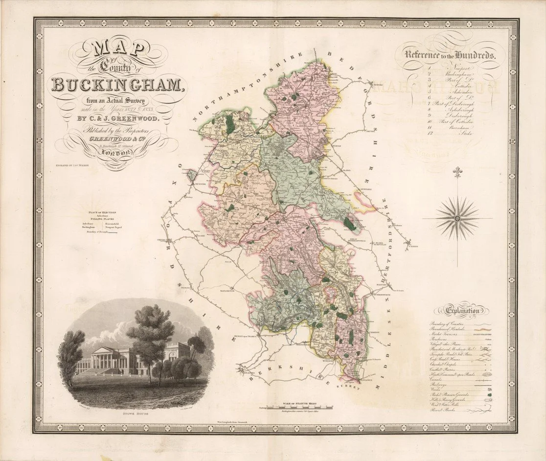
Published by C. & J. Greenwood in 1834, this beautifully engraved map of Buckinghamshire formed part of their celebrated Atlas of the Counties of England. Based on detailed surveys conducted between 1832 and 1833, it captures the county with remarkable precision and elegant Victorian craftsmanship.
Each map is hand-laid on linen, enhancing durability and preserving colour over time. The linen backing also allows you to iron the reverse to remove folds and creases.
Supplied folded in a labelled, decorative package as shown in images. (Design of packaging may vary)
Only Available in one size
39 × 46cm