
 Image 1 of 4
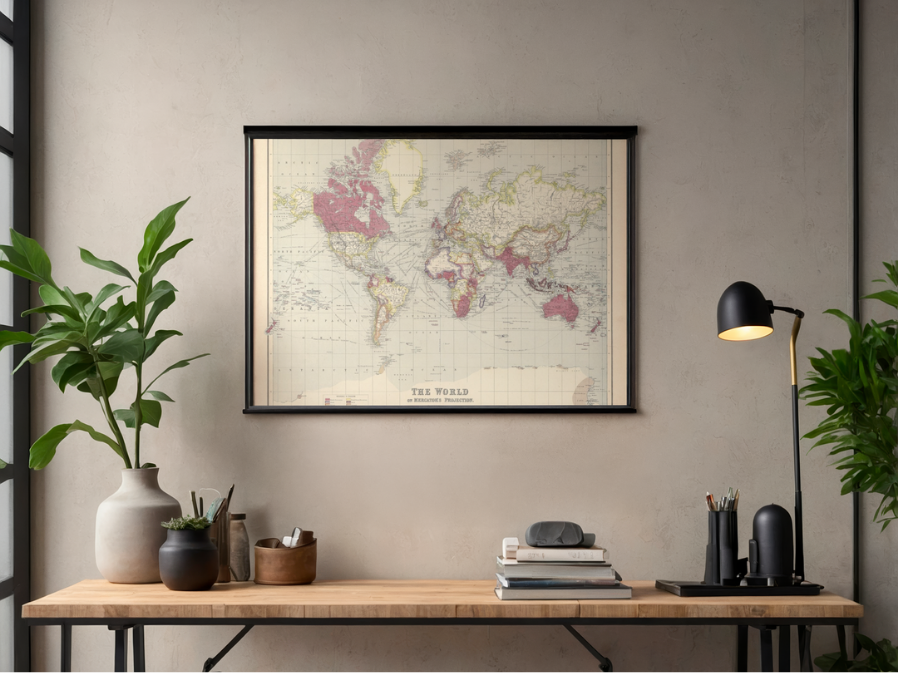 Image 2 of 4
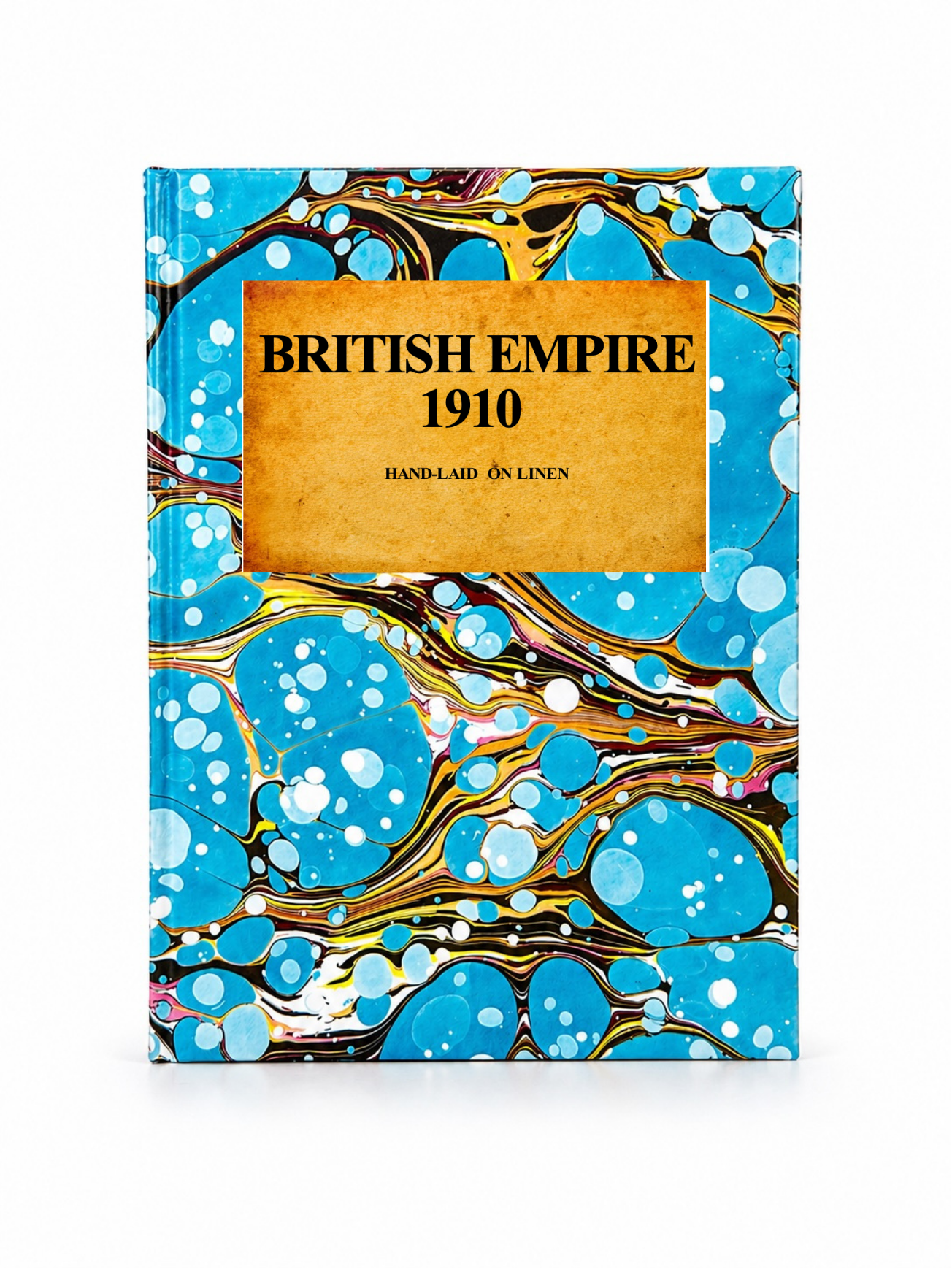 Image 3 of 4
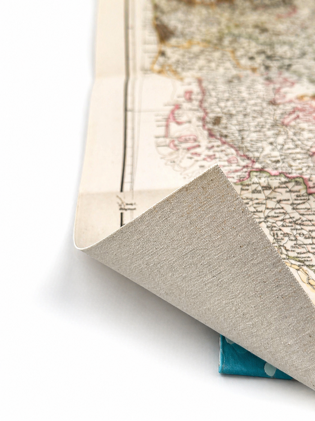 Image 4 of 4
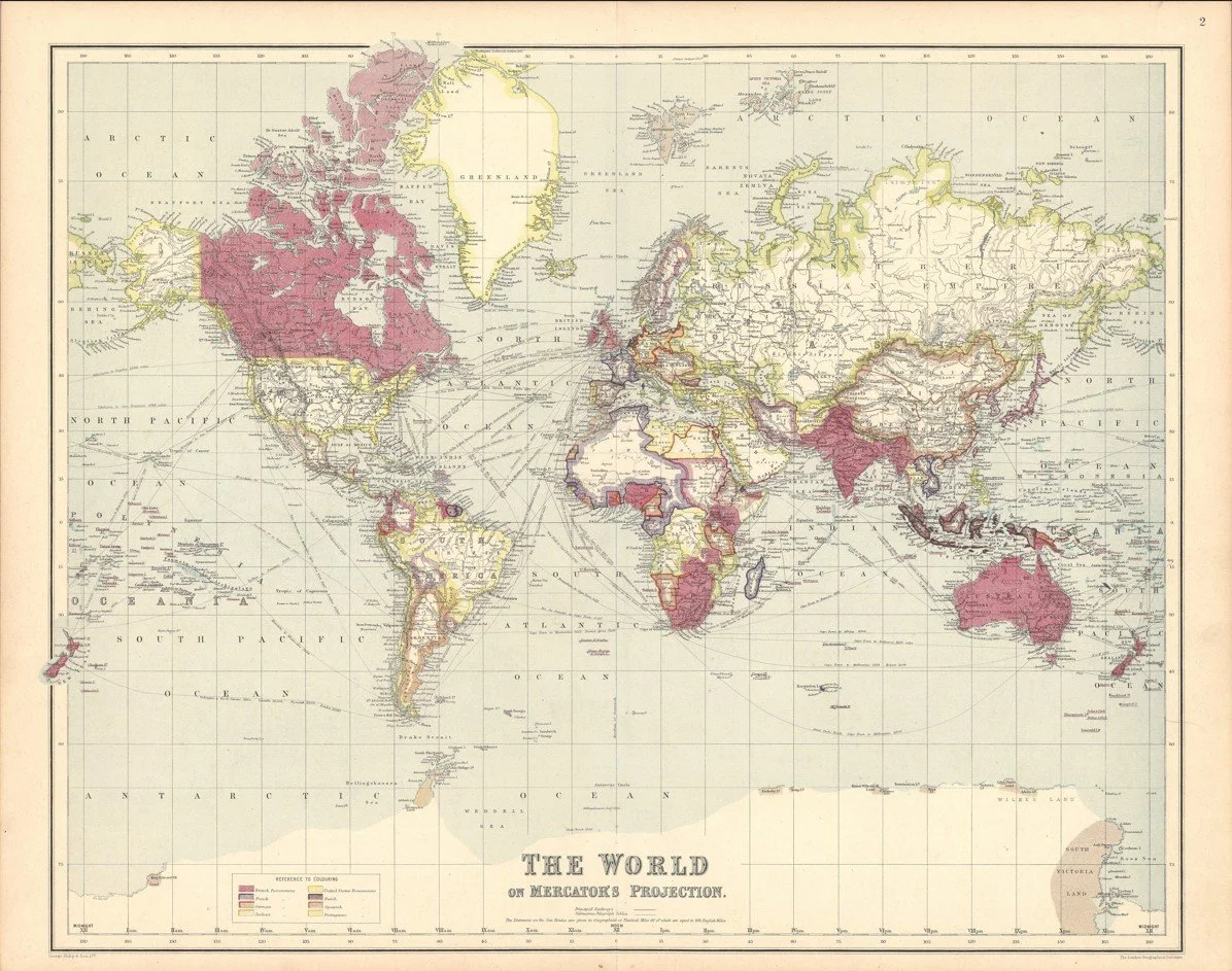
Published in London by George Philip & Son Ltd. in 1910, this detailed world map captures the British Empire at the height of its global reach. Printed on Mercator’s Projection at a scale of 1:90,000,000.
British territories are prominently marked across the globe, from Canada and Newfoundland to Egypt, South Africa, India, Burma, Malaya, Australia and New Zealand. With major cities, geographical features and international boundaries carefully depicted, the map offers a fascinating snapshot of the imperial world just four years before the First World War.
Each map is hand-laid on linen, enhancing durability and preserving colour over time. The linen backing also allows you to iron the reverse to remove folds and creases.
Supplied folded in a labelled, decorative package as shown in images. (Design of packaging may vary)
Available in one size
35 × 45cm