
 Image 1 of 4
 Image 2 of 4
 Image 3 of 4
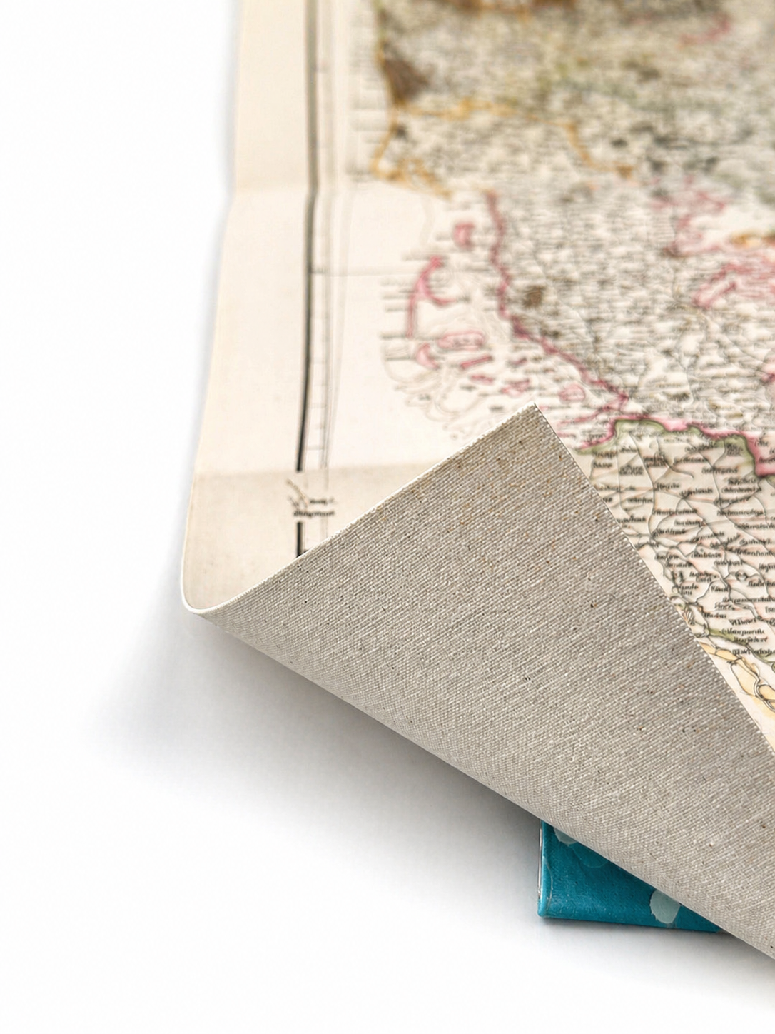 Image 4 of 4
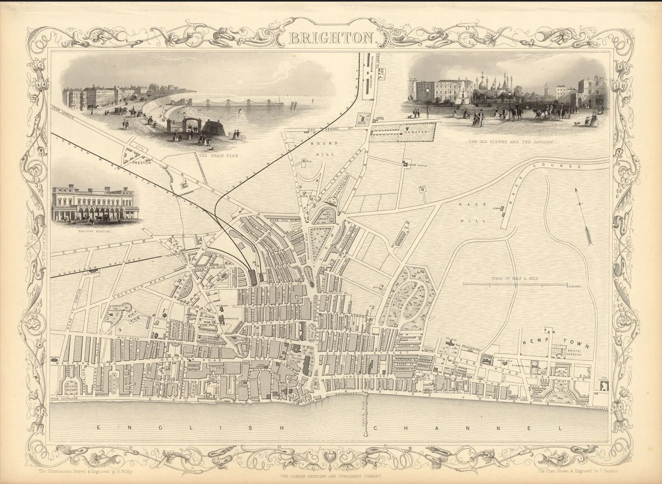
This finely detailed map of Brighton was engraved by J. Rapkin and published by John Tallis & Co. in 1851 as part of the celebrated Illustrated Atlas of the World. Capturing the town during the height of Victorian seaside elegance, it offers a fascinating glimpse of Brighton’s historic streets, coastline and landmarks.
Each map is hand-laid on linen, enhancing durability and preserving colour over time. The linen backing also allows you to iron the reverse to remove folds and creases.
Supplied folded in a labelled, decorative package as shown in images. (Design of packaging may vary)
Only Available in one size
35 × 49cm