
 Image 1 of 4
 Image 2 of 4
 Image 3 of 4
 Image 4 of 4
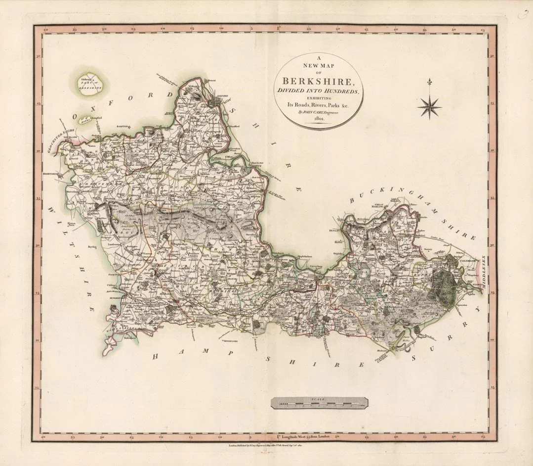
This image is a historical map titled "A New Map of Berkshire: Divided into Hundreds, Exhibiting Its Roads, Rivers, Parks &c." by John Cary, published on September 28, 1801.
Each map is hand-laid on linen, enhancing durability and preserving colour over time. The linen backing also allows you to iron the reverse to remove folds and creases.
Supplied folded in a labelled, decorative package as shown in images. (Design of packaging may vary)
Only Available in one size
39 × 46cm