
 Image 1 of 4
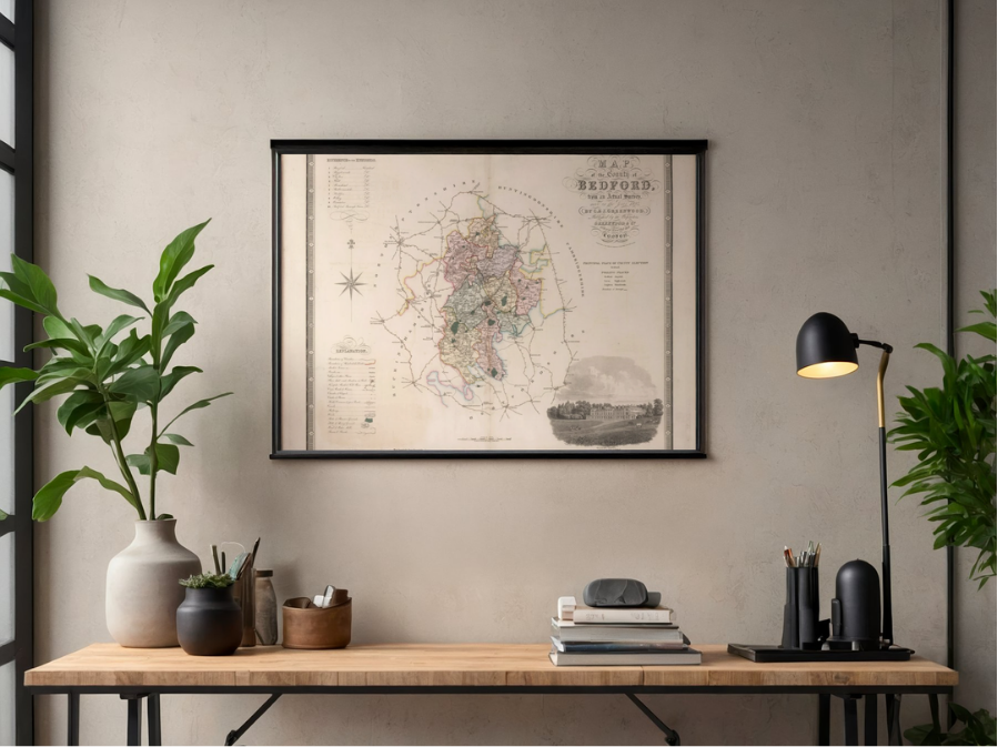 Image 2 of 4
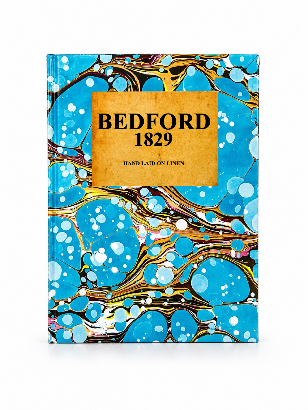 Image 3 of 4
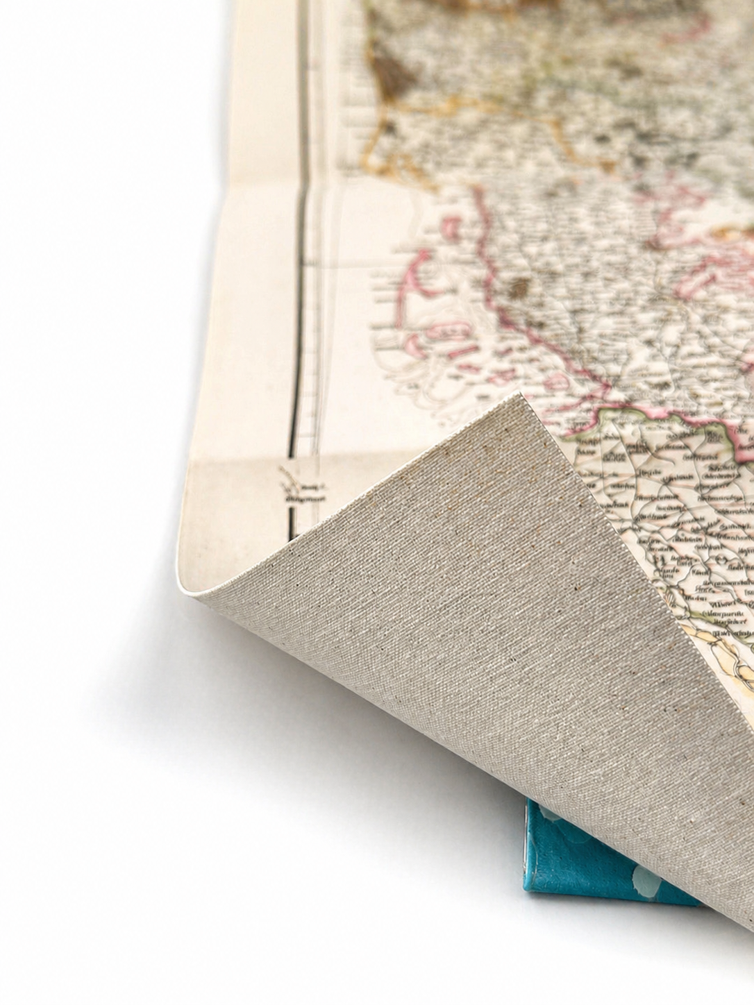 Image 4 of 4
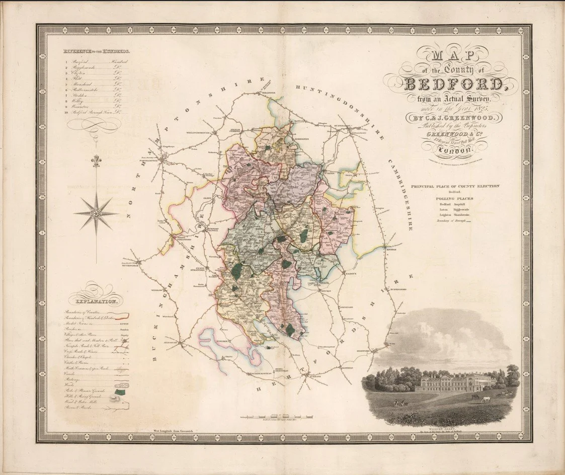
This is a detailed map titled "Map of the county of Bedford: from an actual survey, made in the year 1825," created by Christopher and John Greenwood.
Each map is hand-laid on linen, enhancing durability and preserving colour over time. The linen backing also allows you to iron the reverse to remove folds and creases.
Supplied folded in a labelled, decorative package as shown in images. (Design of packaging may vary)
Only Available in one size
38 × 45cm