
 Image 1 of 4
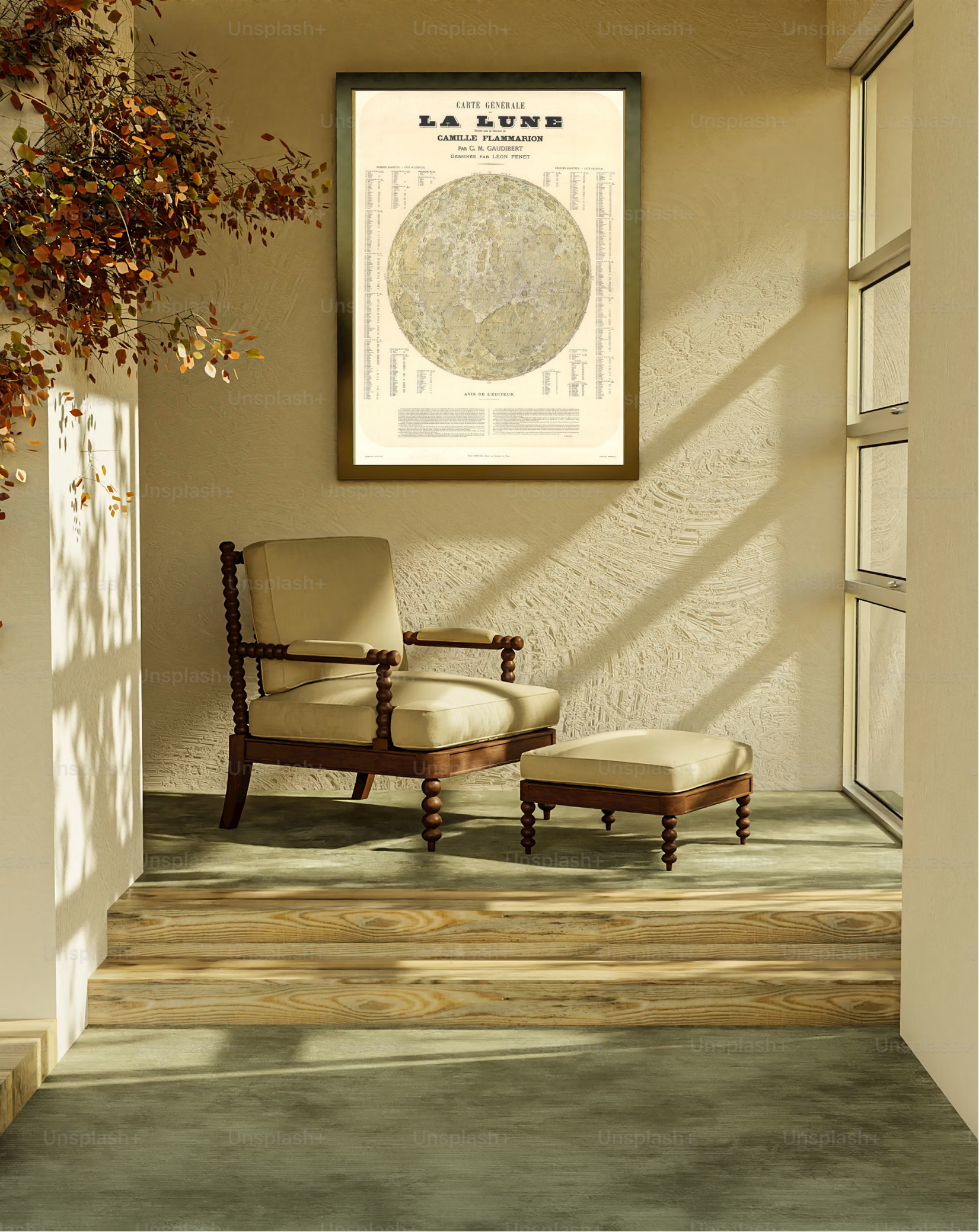 Image 2 of 4
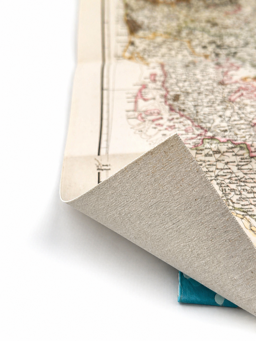 Image 3 of 4
 Image 4 of 4
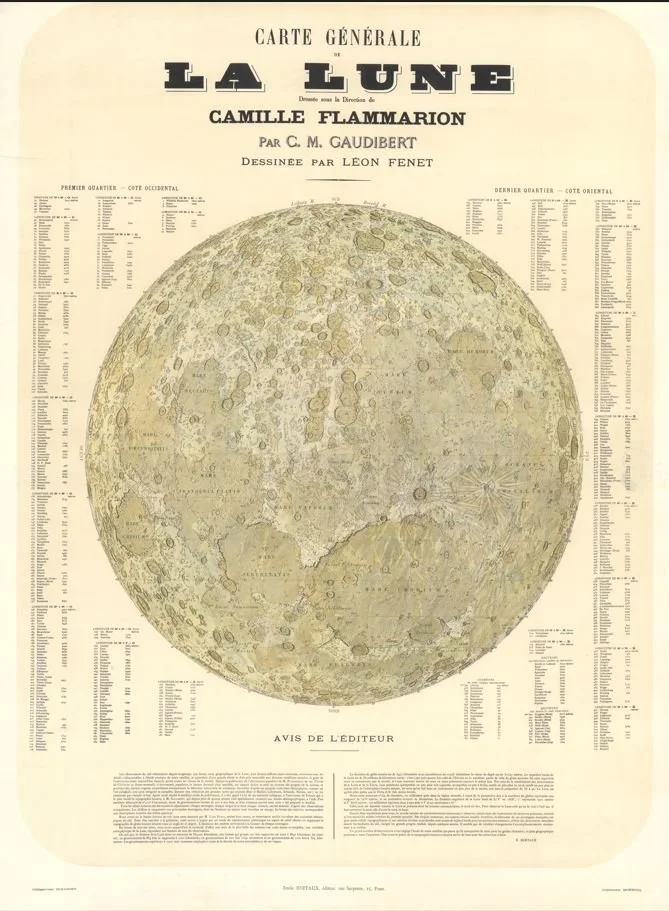
Published in 1877, this remarkable lunar map was produced under the direction of celebrated astronomer Camille Flammarion, based on the observations of C.M. Gaudibert, and beautifully illustrated by Léon Fenet. Showcasing hundreds of named craters, mountain ranges, and lunar seas, it represents one of the finest nineteenth-century attempts to chart the Moon’s surface. Interestingly, the map is oriented as the Moon appeared through many telescopes of the period, giving it a distinctive upside-down appearance compared to modern lunar charts. Combining scientific accuracy with artistic craftsmanship, Carte Générale de la Lune remains one of the most striking and important lunar maps of the Victorian era.
Each map is hand-laid on linen, enhancing durability and preserving colour over time. The linen backing also allows you to iron the reverse to remove folds and creases.
Supplied folded in a labelled, decorative package as shown in images. (Design of packaging may vary)
Available in one size
77cm x 58cm